MyTopo
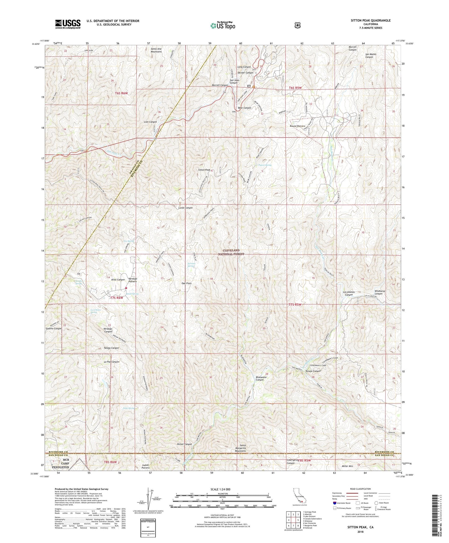
Sitton Peak California US Topo Map
Couldn't load pickup availability
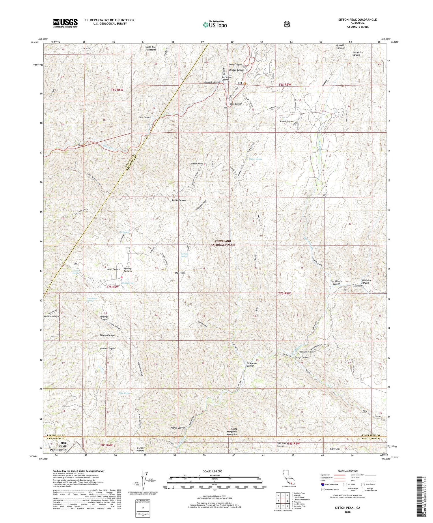
Also explore the Sitton Peak Forest Service Topo of this same quad for updated USFS data
2022 topographic map quadrangle Sitton Peak in the state of California. Scale: 1:24000. Based on the newly updated USGS 7.5' US Topo map series, this map is in the following counties: Riverside, Orange, San Diego. The map contains contour data, water features, and other items you are used to seeing on USGS maps, but also has updated roads and other features. This is the next generation of topographic maps. Printed on high-quality waterproof paper with UV fade-resistant inks.
Quads adjacent to this one:
West: Canada Gobernadora
Northwest: Santiago Peak
North: Alberhill
Northeast: Lake Elsinore
East: Wildomar
Southeast: Fallbrook
South: Margarita Peak
Southwest: San Clemente
This map covers the same area as the classic USGS quad with code o33117e4.
Contains the following named places: Bear Canyon, Belardes Potrero, Bluewater Canyon, Bluewater Truck Trail, Carrillo Spring, Chiquito Trail, Clark Trail, Decker Canyon, Dobe Spring, Fishermans Camp, Fishermans Camp Trailhead, Fox Spring, Indian Potrero, Indian Potrero Truck Trail, Lion Canyon, Long Canyon, Los Alamos Canyon, Los Chinos Spring, Lower San Juan Campground, Miller Mountain, Morgan Trail, Morrell Canyon, Nickel Canyon, Oak Flats, Ortega Oaks Campground, Pigeon Spring, Potrero de Los Cienega, Quail Spring, Riverside County Fire Department Station 62 Rancho Carrillo, Round Potrero, San Juan Loop Trailhead, San Juan Trail, San Mateo Canyon Wilderness, San Mateo Trail, San Mateo Truck Trail, Serrano Spring, Sitton Peak, Sitton Peak Truck Trail, Stewart Ranch, Tenaja Canyon, Tenaja Falls Trailhead, Tenaja Truck Trail, Upper San Juan Campground, Verdugo Potrero, Verdugo Truck Trail, Wheeler Ranch, Wildhorse Canyon