MyTopo
Bickmore Canyon California US Topo Map
Couldn't load pickup availability
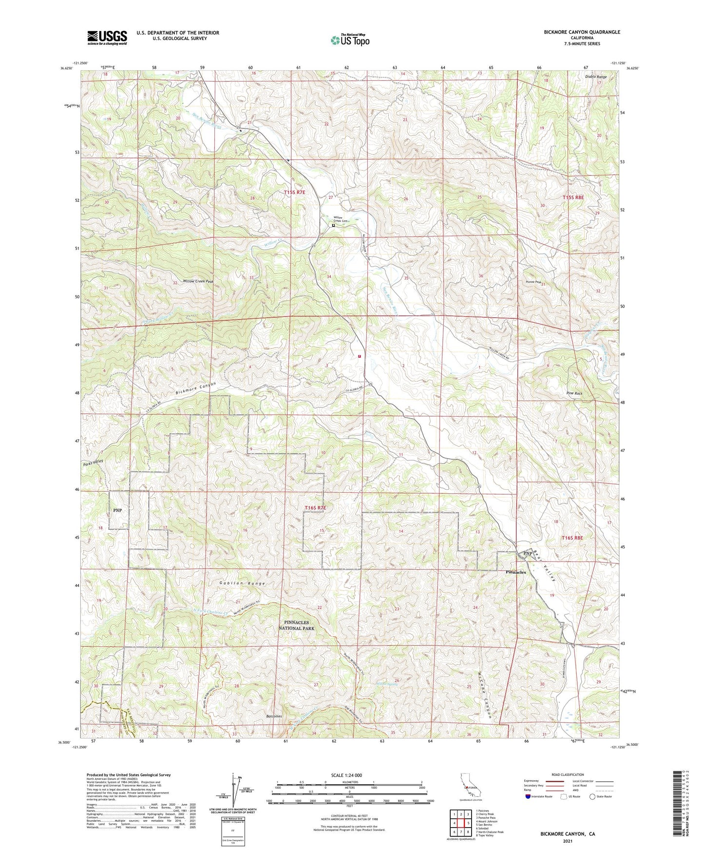
2021 topographic map quadrangle Bickmore Canyon in the state of California. Scale: 1:24000. Based on the newly updated USGS 7.5' US Topo map series, this map is in the following counties: San Benito, Monterey. The map contains contour data, water features, and other items you are used to seeing on USGS maps, but also has updated roads and other features. This is the next generation of topographic maps. Printed on high-quality waterproof paper with UV fade-resistant inks.
Quads adjacent to this one:
West: Mount Johnson
Northwest: Paicines
North: Cherry Peak
Northeast: Panoche Pass
East: San Benito
Southeast: Topo Valley
South: North Chalone Peak
Southwest: Soledad
This map covers the same area as the classic USGS quad with code o36121e2.
Contains the following named places: Balconies, Bear Valley Fire Control Station, Bear Valley Ranch, Bickmore Canyon, Department of Forestry and Fire Protection Bear Valley Fire Station, Melendy Ranch, North Fork Chalone Creek, North Wilderness Trail, Parks Valley, Pine Rock, Pinnacles, Pinnacles Ranch Airport, Pionne Peak, Schmidt Ranch, South Fork Willow Creek, Sulphur Creek, West Fork Chalone Creek, Willow Creek, Willow Creek Cemetery, Willow Creek Peak, Willow Creek School, Willow Spring