MyTopo
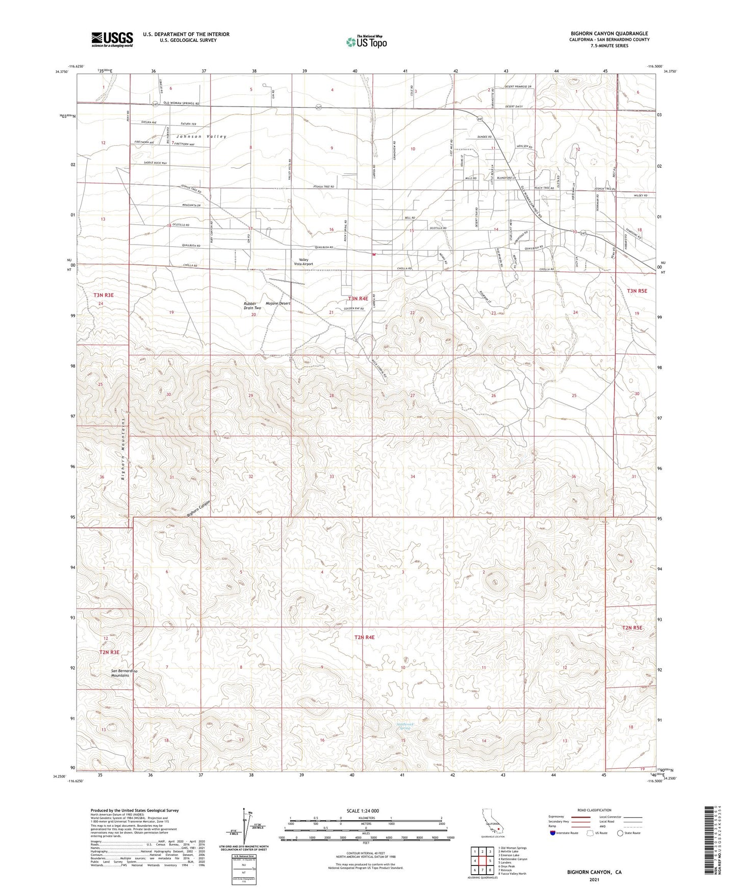
Bighorn Canyon California US Topo Map
Couldn't load pickup availability
Also explore the Bighorn Canyon Forest Service Topo of this same quad for updated USFS data
2021 topographic map quadrangle Bighorn Canyon in the state of California. Scale: 1:24000. Based on the newly updated USGS 7.5' US Topo map series, this map is in the following counties: San Bernardino. The map contains contour data, water features, and other items you are used to seeing on USGS maps, but also has updated roads and other features. This is the next generation of topographic maps. Printed on high-quality waterproof paper with UV fade-resistant inks.
Quads adjacent to this one:
West: Rattlesnake Canyon
Northwest: Old Woman Springs
North: Melville Lake
Northeast: Emerson Lake
East: Landers
Southeast: Yucca Valley North
South: Rimrock
Southwest: Onyx Peak
This map covers the same area as the classic USGS quad with code o34116c5.
Contains the following named places: Bighorn Canyon, Parson Ranch, Rock Corral, Rubber Drain Two, Saddlerock Spring, San Bernardino County Fire Department Station 43 Johnson, Valley Vista Airport, ZIP Code: 92285