MyTopo
Rattlesnake Canyon California US Topo Map
Couldn't load pickup availability
Also explore the Rattlesnake Canyon Forest Service Topo of this same quad for updated USFS data
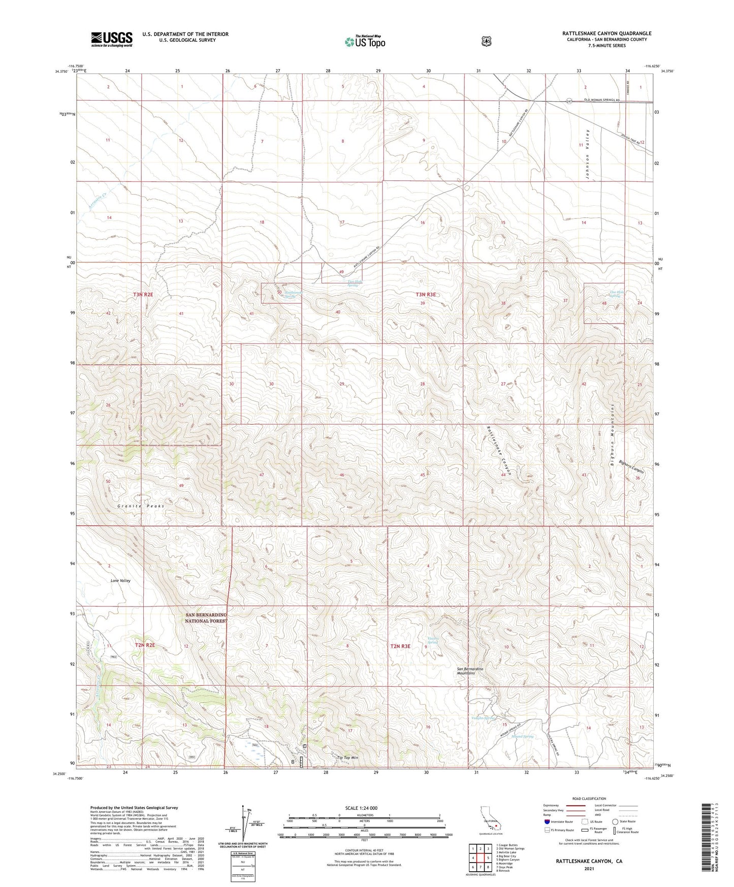
2021 topographic map quadrangle Rattlesnake Canyon in the state of California. Scale: 1:24000. Based on the newly updated USGS 7.5' US Topo map series, this map is in the following counties: San Bernardino. The map contains contour data, water features, and other items you are used to seeing on USGS maps, but also has updated roads and other features. This is the next generation of topographic maps. Printed on high-quality waterproof paper with UV fade-resistant inks.
Quads adjacent to this one:
West: Big Bear City
Northwest: Cougar Buttes
North: Old Woman Springs
Northeast: Melville Lake
East: Bighorn Canyon
Southeast: Rimrock
South: Onyx Peak
Southwest: Moonridge
This map covers the same area as the classic USGS quad with code o34116c6.
Contains the following named places: Bighorn Mountain Wilderness, Bighorn Mountains, Champion Joshua Tree, Granite Peaks, Mound Spring, One Hole Spring, Rattlesnake Canyon, Rattlesnake Spring, Tip Top Mountain, Two Hole Spring, Vaughn Spring, Viscera Spring