MyTopo
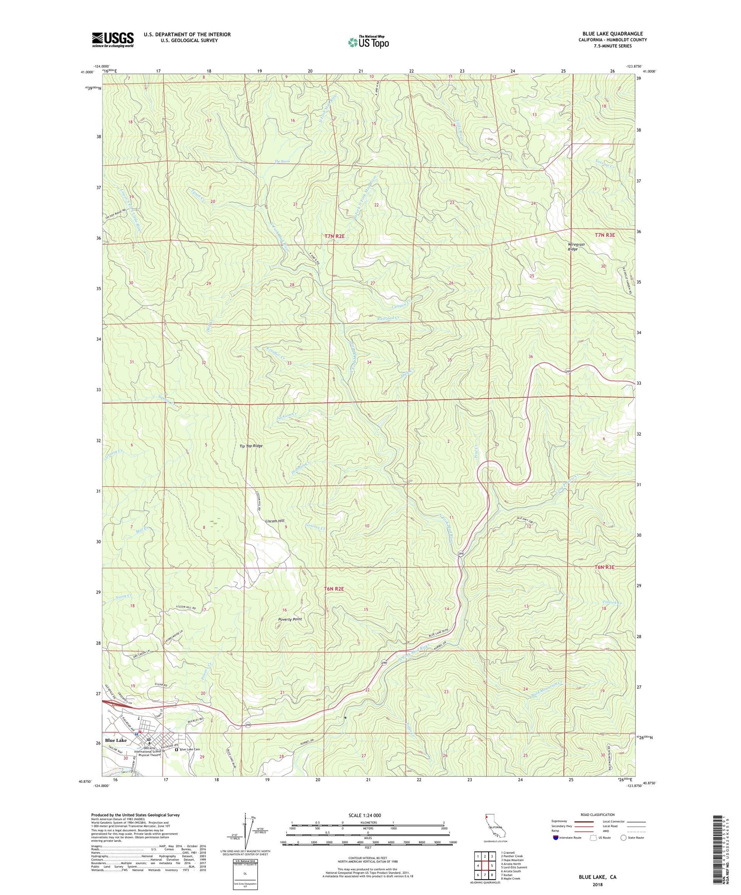
Blue Lake California US Topo Map
Couldn't load pickup availability
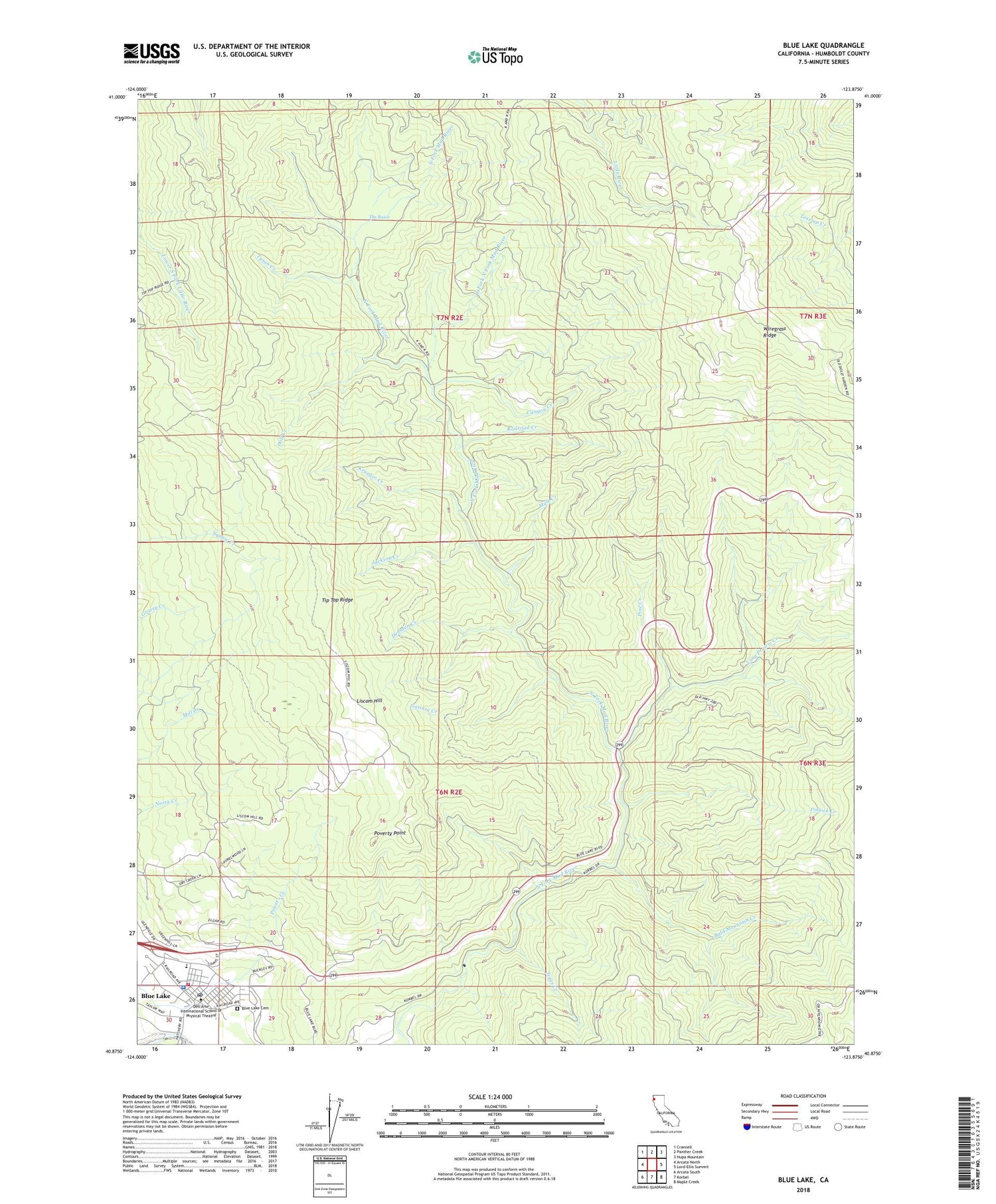
2023 topographic map quadrangle Blue Lake in the state of California. Scale: 1:24000. Based on the newly updated USGS 7.5' US Topo map series, this map is in the following counties: Humboldt. The map contains contour data, water features, and other items you are used to seeing on USGS maps, but also has updated roads and other features. This is the next generation of topographic maps. Printed on high-quality waterproof paper with UV fade-resistant inks.
Quads adjacent to this one:
West: Arcata North
Northwest: Crannell
North: Panther Creek
Northeast: Hupa Mountain
East: Lord-Ellis Summit
Southeast: Maple Creek
South: Korbel
Southwest: Arcata South
This map covers the same area as the classic USGS quad with code o40123h8.
Contains the following named places: Bald Mountain Creek, Blue Lake, Blue Lake Branch Humboldt County Library, Blue Lake Cemetery, Blue Lake City Hall, Blue Lake Elementary School, Blue Lake Fire Protection District, Blue Lake Industrial Park, Blue Lake Museum, Blue Lake Police Department, Blue Lake Post Office, Blue Lake Rancheria, Camp Bauer, Camp Eight, Canyon Creek, City of Blue Lake, Crawford Ranch, Dell'Arte International School of Physical Theatre, Denman Creek, Dolf Creek, East Fork North Fork Mad River, Fawn Prairie, Gosinta Creek, Gymkhana Field, Jackson Creek, Jiggs Creek, Korbel-Blue Lake Community Church, Krueger Creek, Liscom Hill, Long Prairie, Long Prairie Creek, Miller Prairie, Mule Creek, Northern Redwood Camp, Perigot Park, Pine Creek, Pollock Creek, Poverty Point, Powers Creek, Prasch Hall, Presbyterian Church of Blue Lake, Preston Ranch, Quarry Creek, Railroad Creek, Round Prairie, Saint Josephs Catholic Church, The Basin, Tip Top Ridge, Tyson Creek, Wiregrass Ridge


