MyTopo
Big Alkali California US Topo Map
Couldn't load pickup availability
Also explore the Big Alkali Forest Service Topo of this same quad for updated USFS data
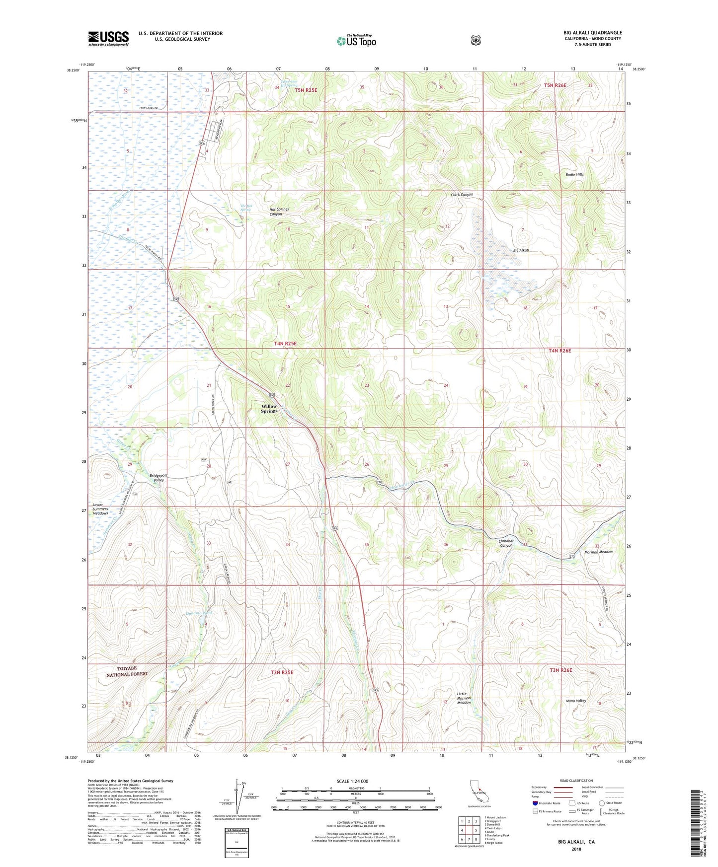
2021 topographic map quadrangle Big Alkali in the state of California. Scale: 1:24000. Based on the newly updated USGS 7.5' US Topo map series, this map is in the following counties: Mono. The map contains contour data, water features, and other items you are used to seeing on USGS maps, but also has updated roads and other features. This is the next generation of topographic maps. Printed on high-quality waterproof paper with UV fade-resistant inks.
Quads adjacent to this one:
West: Twin Lakes
Northwest: Mount Jackson
North: Bridgeport
Northeast: Dome Hill
East: Bodie
Southeast: Negit Island
South: Lundy
Southwest: Dunderberg Peak
This map covers the same area as the classic USGS quad with code o38119b2.
Contains the following named places: Big Alkali, Bridgeport Ranger Station, Bridgeport Recreation Site, Cinnabar Canyon, Clearwater Creek, Dog Creek, Dog Town, Dogtown Grave, Dynamo Pond, Green Creek, Hot Springs Canyon, Little Bodie Mine, Little Mormon Meadow, Lower Summers Meadows, Mono County Poor Farm Cemetery, Mormon Meadow, Point Ranch, The Hot Springs, Travertine Hot Springs, Virginia Creek, Willow Springs


