MyTopo
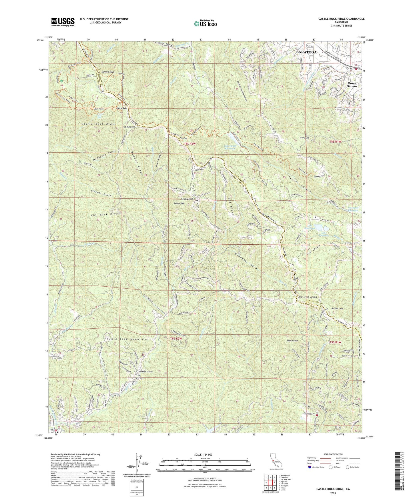
Castle Rock Ridge California US Topo Map
Couldn't load pickup availability
2021 topographic map quadrangle Castle Rock Ridge in the state of California. Scale: 1:24000. Based on the newly updated USGS 7.5' US Topo map series, this map is in the following counties: Santa Cruz, Santa Clara. The map contains contour data, water features, and other items you are used to seeing on USGS maps, but also has updated roads and other features. This is the next generation of topographic maps. Printed on high-quality waterproof paper with UV fade-resistant inks.
Quads adjacent to this one:
West: Big Basin
Northwest: Mindego Hill
North: Cupertino
Northeast: San Jose West
East: Los Gatos
Southeast: Laurel
South: Felton
Southwest: Davenport
This map covers the same area as the classic USGS quad with code o37122b1.
Contains the following named places: Academy Our Mother of Perpetual Help, Alma College, American Medical Response Santa Cruz Division, Aubry Creek, Bear Creek, Bear Creek Summit, Beatty Ridge, Beatty Slide, Bonjetti Creek, Boulder Creek, Boulder Creek Branch Santa Cruz City-County Library, Boulder Creek Fire Protection District, Boulder Creek Park, Boulder Creek Post Office, Browns School, Bynington Winery, Castle Rock, Castle Rock Falls, Castle Rock Ridge, Castle Rock State Park, Central School, Congress Springs Vineyards, Connely Gulch, Damond Ridge, David Bruce Winery, Deer Creek, Deer Ridge, Dyer Canyon, El Sereno, El Sereno Open Space, Fat Buck Ridge, Felton Guard Station, Goat Rock, Grizzly Rock, Hakone Gardens, Harmon Gulch, Hopkins Gulch, Howell Reservoirs, Lake Couzzens, Lake Couzzens Dam, Lake Kittredge, Lake Kittredge Dam, Lake Ranch 622 Dam, Lake Ranch Reservoir, Lakeside Elementary School, Logan Creek, Lyndon Canyon, McDonald Gulch, McElroy Creek, Montezuma School, Mount Bielawski, Mount Bielawski Lookout, Mount Van Lone, Oak Ridge, Redwood Camp, San Lorenzo Headwaters Natural Preserve, San Lorenzo Valley Division, Sanborn County Park, Sanborn Creek, Sanborn-Skyline County Park, Santa Clara County Fire Department Quito Fire Station, Santa Cruz Mountains, Shear Creek, Sleeper Gulch, Stapling Creek, Stuart Camp, Summit Rock, The Peak, Todd Creek, Uncle Billys Cabin, Villa Montalvo, Villa Montalvo Arboretum, White Rock, White Rock Ranch, Willow Creek, Zayante Fire Protection District Station 3


