MyTopo
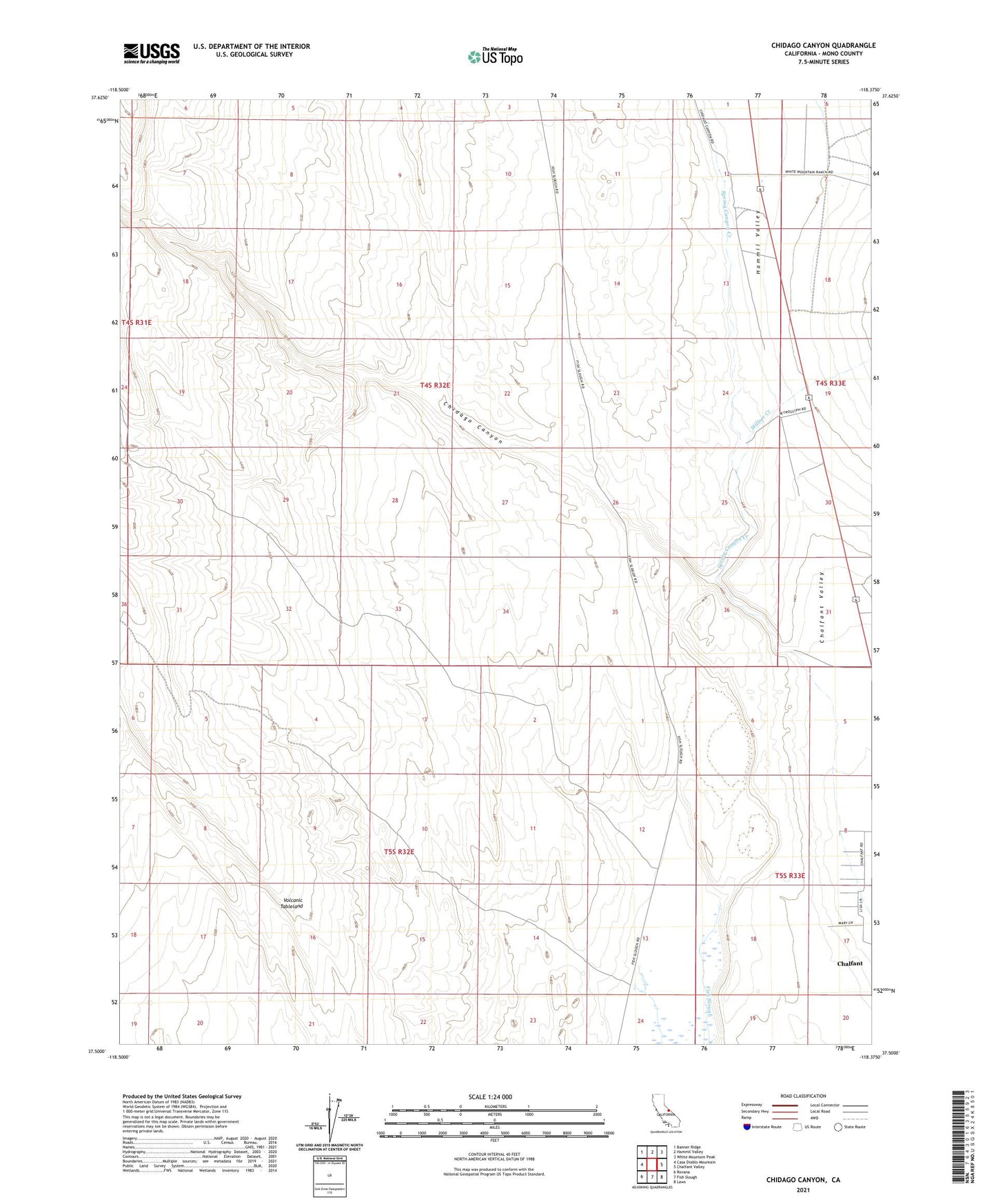
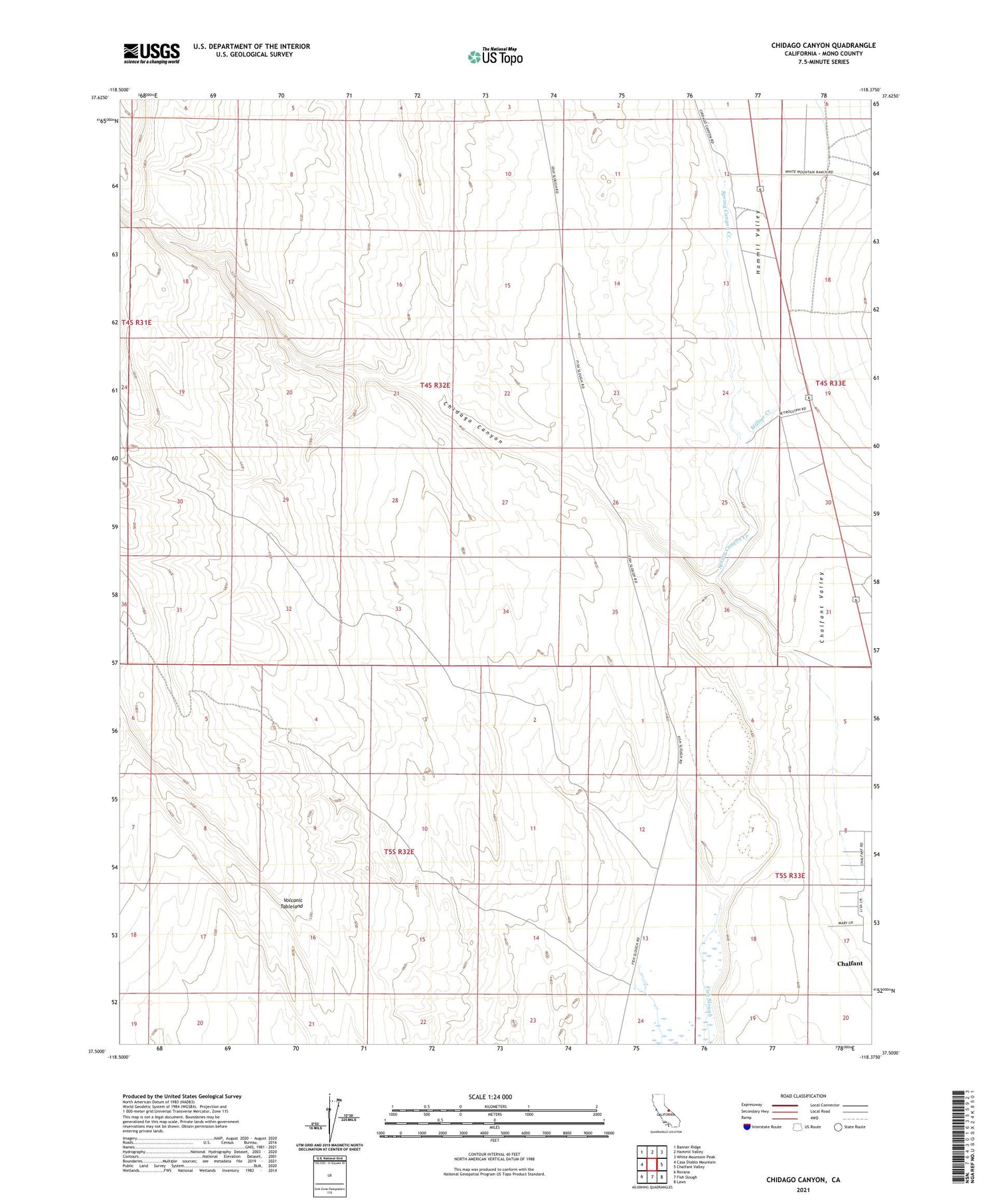
Chidago Canyon California US Topo Map
Couldn't load pickup availability
Also explore the Chidago Canyon Forest Service Topo of this same quad for updated USFS data
2021 topographic map quadrangle Chidago Canyon in the state of California. Scale: 1:24000. Based on the newly updated USGS 7.5' US Topo map series, this map is in the following counties: Mono. The map contains contour data, water features, and other items you are used to seeing on USGS maps, but also has updated roads and other features. This is the next generation of topographic maps. Printed on high-quality waterproof paper with UV fade-resistant inks.
Quads adjacent to this one:
West: Casa Diablo Mountain
Northwest: Banner Ridge
North: Hammil Valley
Northeast: White Mountain Peak
East: Chalfant Valley
Southeast: Laws
South: Fish Slough
Southwest: Rovana
This map covers the same area as the classic USGS quad with code o37118e4.
Contains the following named places: Chalfant Census Designated Place, Chidago Canyon, Hammil Valley, Millner Creek, Spring Canyon Creek