MyTopo
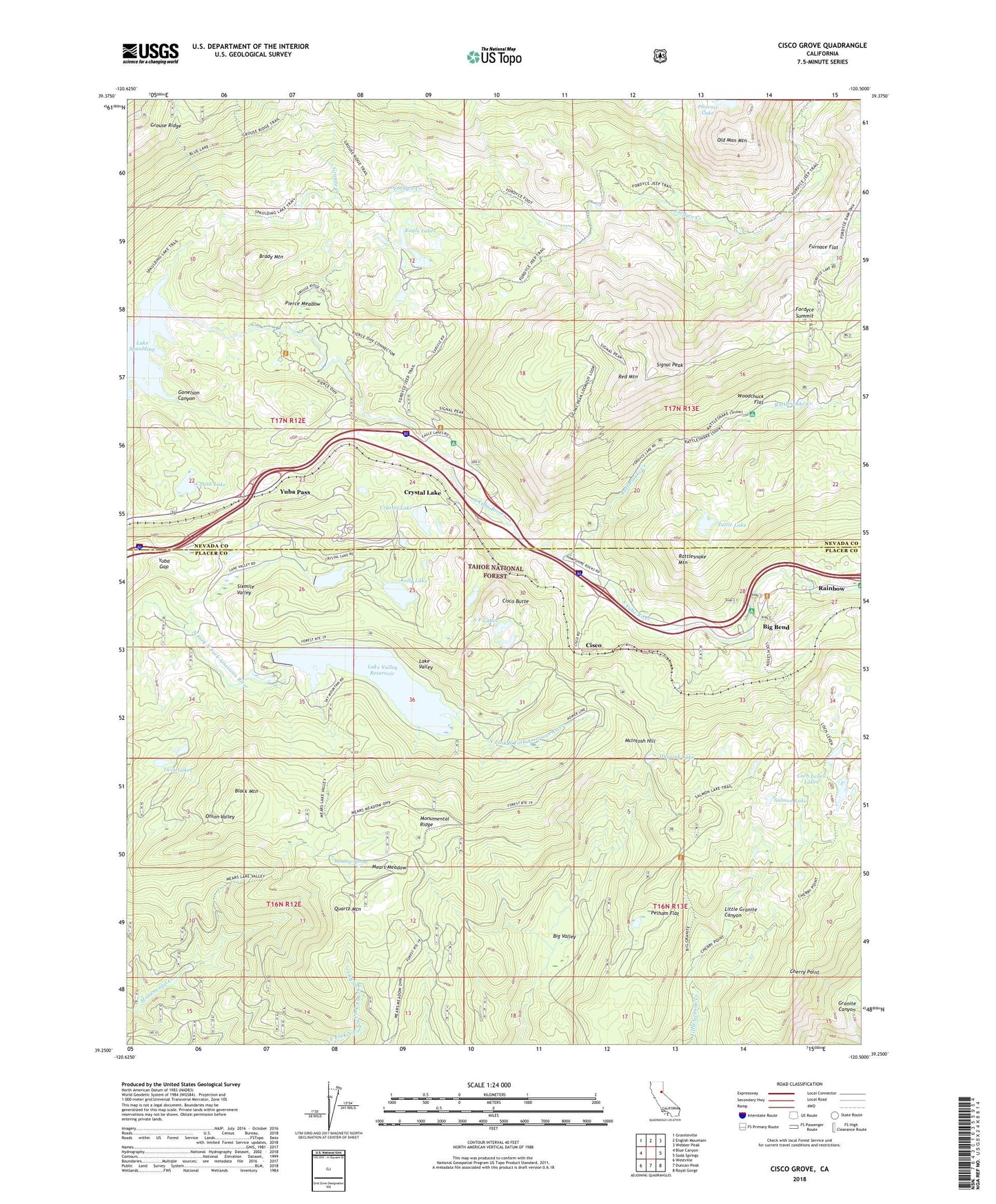
Cisco Grove California US Topo Map
Couldn't load pickup availability
Also explore the Cisco Grove Forest Service Topo of this same quad for updated USFS data
2022 topographic map quadrangle Cisco Grove in the state of California. Scale: 1:24000. Based on the newly updated USGS 7.5' US Topo map series, this map is in the following counties: Nevada, Placer. The map contains contour data, water features, and other items you are used to seeing on USGS maps, but also has updated roads and other features. This is the next generation of topographic maps. Printed on high-quality waterproof paper with UV fade-resistant inks.
Quads adjacent to this one:
West: Blue Canyon
Northwest: Graniteville
North: English Mountain
Northeast: Webber Peak
East: Soda Springs
Southeast: Royal Gorge
South: Duncan Peak
Southwest: Westville
This map covers the same area as the classic USGS quad with code o39120c5.
Contains the following named places: Big Bend, Big Bend Campground, Big Bend Forest Service Station, Big Valley, Big Valley Trail, Black Mountain, Blue Lake Trail, Brady Mountain, Cherry Point, Cherry Point Trail, Chubb Lake, Cisco, Cisco Butte, Cisco Grove, Colfax-Monumental Ridge Division, Crystal Lake, Eagle Lakes, Fordyce Creek, Fordyce Summit, Four H Club Camp, Furnace Flat, Gonelson Canyon, Granite Creek, Grouse Ridge Trail, Huysink Lake, Indian Springs Campground, Kelly Lake, Kelly Lake 97-024 Dam, Kelly Lake Campground, Lake Valley, Lake Valley 97-032 Dam, Lake Valley Reservoir, Loch Leven Lakes, Loch Leven Trail, Lodgepole Campground, Marin Sierra Boy Scout Camp, McIntosh Hill, Meadow Spring, Mears Lake Valley Trail, Mears Meadow, Monumental Ridge, Old Man Mountain, Overland Emigrant Trail, Pelham Flat, Pierce Meadow, Quartz Mountain, Rainbow, Rattlesnake Creek, Rattlesnake Mountain, Red Mountain, S P Lakes, S P Lookout, Salmon Lake, Salmon Lake Trail, Signal Peak, Silver Tip Campground, Sixmile Valley, Snowflower 1323 Dam, South Yuba River, Spaulding Lake Trail, Sugar Pine Point Trail, Tuttle Lake, Twin Lakes, Woodchuck Campground, Woodchuck Flat, Yuba Gap, Yuba Pass


