MyTopo
English Mountain California US Topo Map
Couldn't load pickup availability
Also explore the English Mountain Forest Service Topo of this same quad for updated USFS data
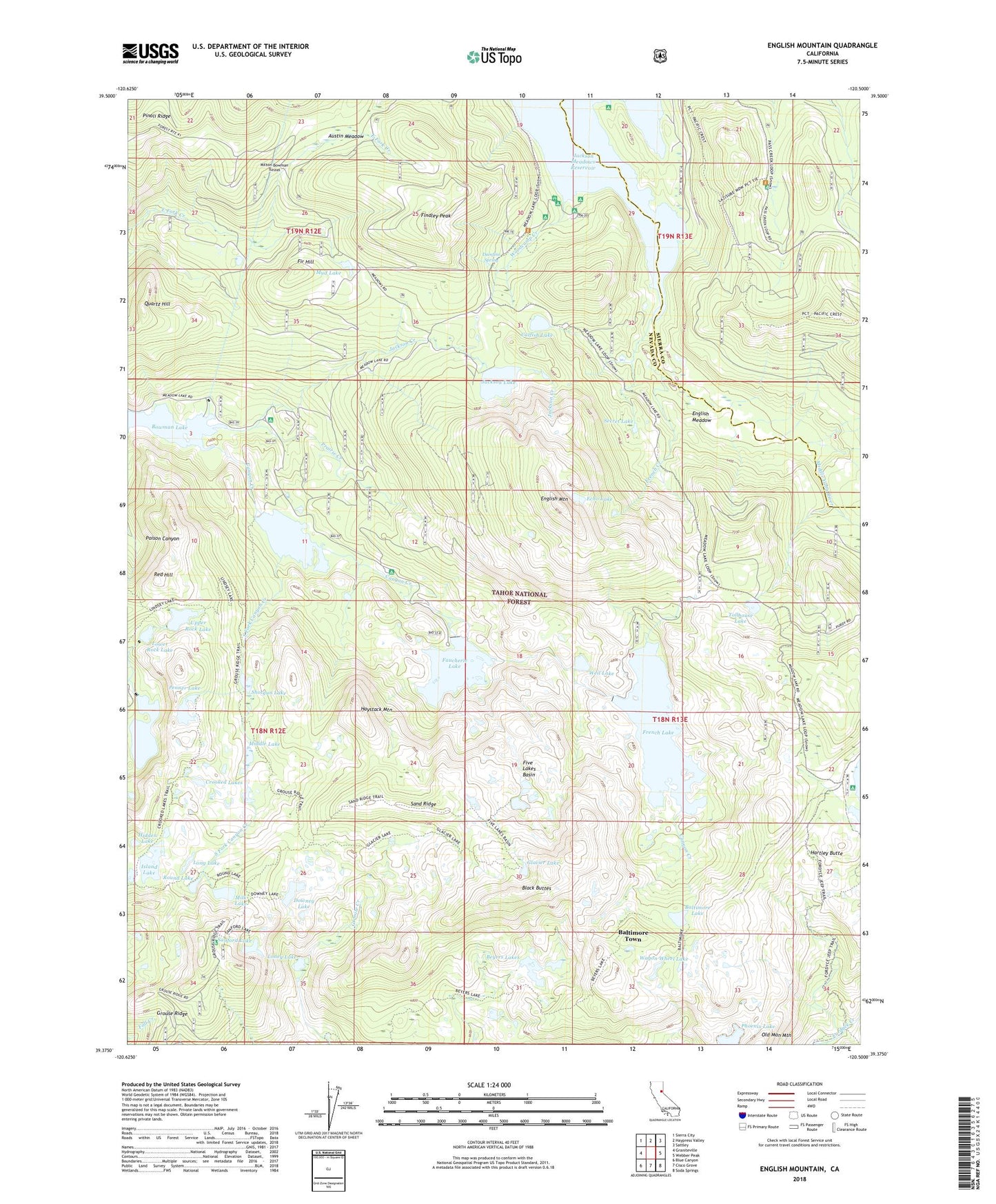
2022 topographic map quadrangle English Mountain in the state of California. Scale: 1:24000. Based on the newly updated USGS 7.5' US Topo map series, this map is in the following counties: Nevada, Sierra. The map contains contour data, water features, and other items you are used to seeing on USGS maps, but also has updated roads and other features. This is the next generation of topographic maps. Printed on high-quality waterproof paper with UV fade-resistant inks.
Quads adjacent to this one:
West: Graniteville
Northwest: Sierra City
North: Haypress Valley
Northeast: Sattley
East: Webber Peak
Southeast: Soda Springs
South: Cisco Grove
Southwest: Blue Canyon
This map covers the same area as the classic USGS quad with code o39120d5.
Contains the following named places: Austin Meadow, Baltimore Lake, Baltimore Town, Baltimore Trail, Bent Monument, Beyers Lake, Beyers Lake Trail, Beyers Lakes, Big Downey Lake 1-024 Dam, Black Buttes, Canyon Creek Campground, Catfish Lake, Churchs Camp, Crooked Lakes, Crooked Lakes Trail, Culbertson 97-017 Dam, Culbertson Lake, Damfine Spring, Downey Lake, East Meadow Campground, Echo Lake, English Meadow, English Mountain, English Mountain Ranch, Ennors Ranch, Excelsior Mine, Faucherie 61-022 Dam, Faucherie Campground, Faucherie Lake, Findley Campground, Findley Peak, Fir Hill, Fir Top Campground, Five Lakes Basin, French Creek, French Lake, French Lake 61-006 Dam, Glacier Lake, Glacier Lakes Trail, Grouse Ridge, Grouse Ridge Campground, Hartley Butte, Haystack Mountain, Hidden Lake, Island Lake, Jackson Creek, Jackson Creek Campground, Jackson Lake, Jackson Lake 61-017 Dam, Jackson Lake Heliport, Jackson Meadow Station, Jackson Meadows Reservoir, Jackson Point Campground, Linsey Lake Trail, Loney Lake, Long Lake, Lower Rock Lake, Meadow Lake Cemetery, Meadow Lake Mine, Middle Lake, Milk Lake, Milton-Bowman Tunnel, Mud Lake, Penner Lake, Phoenix Lake, Pinoli Ridge, Prairie Creek, Quartz Hill, Red Hill, Round Lake, Sand Ridge, Sanford Lake, Sawmill Lake, Sawmill Lake 61-010 Dam, Secret Lake, Shotgun Lake, Silver Tip Campground, South Fork Canyon Creek, Summit City, Tahoe National Forest, Tollhouse Lake, Upper Rock Lake, Upper Rock Lake 97-048 Dam, Wagon Wheel Lake, Weil Lake, Woodcamp Campground, Woodcamp Creek, Woodcamp Creek Interpretive Trail, Woodcamp Picnic Area