
MyTopo
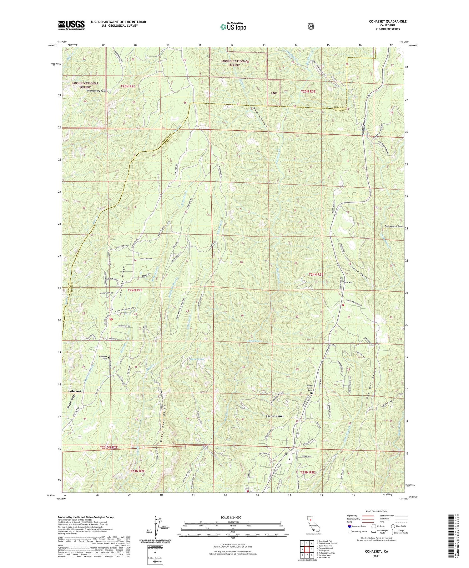
Cohasset California US Topo Map
Couldn't load pickup availability
Also explore the Cohasset Forest Service Topo of this same quad for updated USFS data
2021 topographic map quadrangle Cohasset in the state of California. Scale: 1:24000. Based on the newly updated USGS 7.5' US Topo map series, this map is in the following counties: Butte, Tehama. The map contains contour data, water features, and other items you are used to seeing on USGS maps, but also has updated roads and other features. This is the next generation of topographic maps. Printed on high-quality waterproof paper with UV fade-resistant inks.
Quads adjacent to this one:
West: Campbell Mound
Northwest: Deer Creek Flat
North: Devils Parade Ground
Northeast: Butte Meadows
East: Stirling City
Southeast: Paradise East
South: Paradise West
Southwest: Richardson Springs
This map covers the same area as the classic USGS quad with code o39121h6.
Contains the following named places: Anderson Mill, Bear Lake, Butte County Fire Department Station 21, Butte County Fire Department Station 24, California Department of Forestry and Fire Protection Station 22 Cohasset, California Department of Forestry and Fire Protection Station 23 Forest Ranch, Campbell Creek, Cohasset, Cohasset Cemetery, Cohasset Census Designated Place, Cohasset Elementary School, Cohasset Forest Fire Station, Dodge Place, Doe Mill Ridge, Durbin Spring, East Branch Mud Creek, Forest Ranch, Forest Ranch Cemetery, Forest Ranch Census Designated Place, Forest Ranch Elementary School, Forest Ranch Forest Fire Station, KBCP-TV (Paradise), KCHH-FM (Paradise), KCHO-FM (Chico), Keefer Ridge, KFMF-FM (Chico), KHSL-TV (Chico), KPAY-FM (Chico), Middle Branch Mud Creek, Musty Buck Ridge, Nelson Ravine, Platte Mountain, Platte Ravine, Promontory Point, Spencer Ranch, Web Hollow, Webb Creek, West Branch Mud Creek


