MyTopo
Crows Landing California US Topo Map
Couldn't load pickup availability
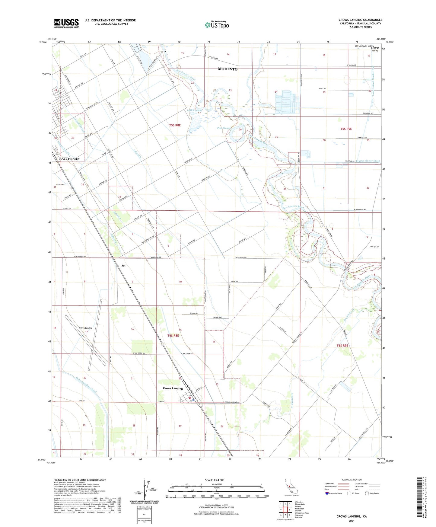
2021 topographic map quadrangle Crows Landing in the state of California. Scale: 1:24000. Based on the newly updated USGS 7.5' US Topo map series, this map is in the following counties: Stanislaus. The map contains contour data, water features, and other items you are used to seeing on USGS maps, but also has updated roads and other features. This is the next generation of topographic maps. Printed on high-quality waterproof paper with UV fade-resistant inks.
Quads adjacent to this one:
West: Patterson
Northwest: Westley
North: Brush Lake
Northeast: Ceres
East: Hatch
Southeast: Gustine
South: Newman
Southwest: Orestimba Peak
This map covers the same area as the classic USGS quad with code o37121d1.
Contains the following named places: Amorim Dairy, Bonita Elementary School, Catfish Camp, City of Patterson Sewage Disposal, Crow Farms, Crows Landing, Crows Landing Bridge, Crows Landing Census Designated Place, Crows Landing Post Office, De Pauw Farms, Jet, Kamiska Farms, Lake Ramona, Lateral F, Lateral G, Lateral H, Lateral J, Lateral K, Little Salado Creek, Main Canal, Mendes Dairy, Moonshine Dairy, Mountain View Elementary School, Naval Auxiliary Landing Field Crows Landing, Orestimba Creek, Orestimba Nursery, Pear Slough, Rancho Del Puerto, Robinson Farms, Salado Creek, Stanislaus County Sheriff's Office Crows Landing, Tsai Farms, West Stanislaus County Fire Protection District Crows Landing Station 6, ZIP Code: 95313


