MyTopo
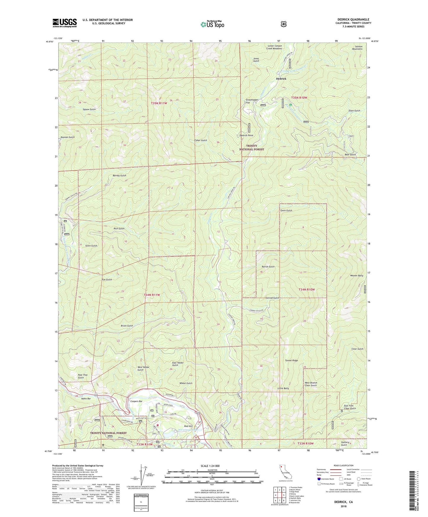
Dedrick California US Topo Map
Couldn't load pickup availability
Also explore the Dedrick Forest Service Topo of this same quad for updated USFS data
2023 topographic map quadrangle Dedrick in the state of California. Scale: 1:24000. Based on the newly updated USGS 7.5' US Topo map series, this map is in the following counties: Trinity. The map contains contour data, water features, and other items you are used to seeing on USGS maps, but also has updated roads and other features. This is the next generation of topographic maps. Printed on high-quality waterproof paper with UV fade-resistant inks.
Quads adjacent to this one:
West: Helena
Northwest: Thurston Peaks
North: Mount Hilton
Northeast: Siligo Peak
East: Rush Creek Lakes
Southeast: Weaverville
South: Junction City
Southwest: Hayfork Bally
This map covers the same area as the classic USGS quad with code o40123g1.
Contains the following named places: Barney Gulch, Bear Gulch, Big East Fork Canyon Creek, Canyon City, Conner Creek, Conrad Gulch, Coopers Bar, Dedrick, Dedrick Lookout, Dedrick Point, East Fork Clear Gulch, East Valdor Gulch, Ellen Gulch, Ellen Mine, Enterprise Mine, Fisher Gulch, Fox Gulch, Grasshopper Flat, Gwin Gulch, Helena, Idaho Bar, Jones Gulch, Junction City Fire Protection District Station 2, Little Bally, Little East Fork Canyon Creek, Little Ripstein Gulch, Lone Jack Mine, Lower Canyon Creek Meadows, Maple Mine, Mason and Thayer Mine, McCartneys Pond, McGillivrays Ranch, Ozark Mine, Pear Tree Gulch, Ralston Group, Rarick Gulch, Red Hill, Red Hill Mine, Rich Gulch, Silver Grey Mine, Store Gulch, Tunnel Ridge, Weaver Bally Lookout, West Branch Clear Gulch, West Valdor Gulch, Wheel Gulch, ZIP Code: 96048


