MyTopo
Helena California US Topo Map
Couldn't load pickup availability
Also explore the Helena Forest Service Topo of this same quad for updated USFS data
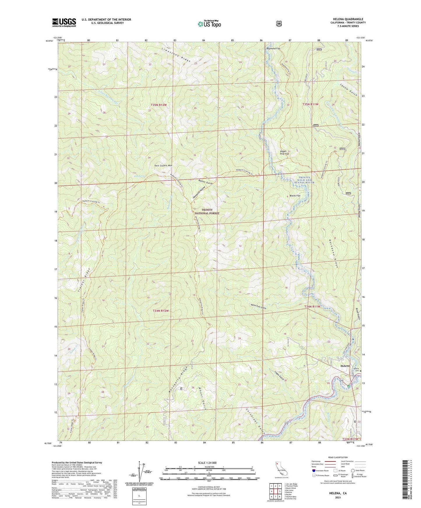
2023 topographic map quadrangle Helena in the state of California. Scale: 1:24000. Based on the newly updated USGS 7.5' US Topo map series, this map is in the following counties: Trinity. The map contains contour data, water features, and other items you are used to seeing on USGS maps, but also has updated roads and other features. This is the next generation of topographic maps. Printed on high-quality waterproof paper with UV fade-resistant inks.
Quads adjacent to this one:
West: Del Loma
Northwest: Jim Jam Ridge
North: Thurston Peaks
Northeast: Mount Hilton
East: Dedrick
Southeast: Junction City
South: Hayfork Bally
Southwest: Big Bar
This map covers the same area as the classic USGS quad with code o40123g2.
Contains the following named places: Baxter Gulch, Blacks Flat, Brock Gulch, Buck Spring, Coleridge, Cutthroat Gulch, Digger Pine Flat, Eagle Creek, East Fork North Fork Trinity River, Helena, Helena Cemetery, Helena Historic District, Helena Post Office, Indian Creek, Logan Gulch, Long Ranch, Manzanita Ridge, Miller Creek, Mosquito Hollow, Noonan Gulch, North Fork Gulch, North Fork Trinity River, Pigeon Point Campground, Raymond Flat, Squaw Gulch, Treloar Ridge, Twin Sisters Mountain, Waldorf Crossing, Yellowstone Mine