MyTopo
Thurston Peaks California US Topo Map
Couldn't load pickup availability
Also explore the Thurston Peaks Forest Service Topo of this same quad for updated USFS data
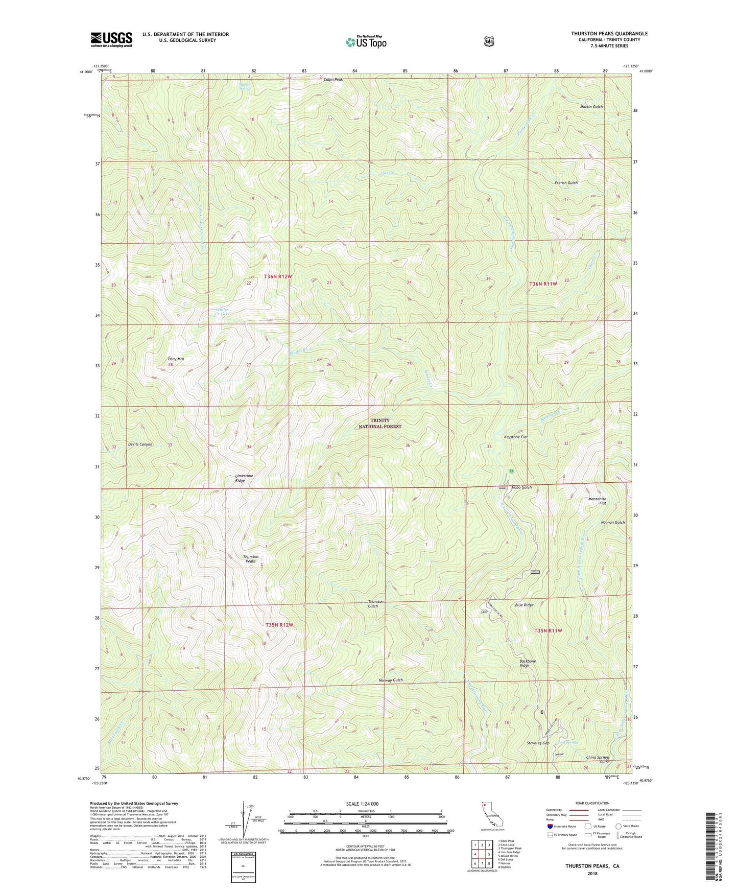
2022 topographic map quadrangle Thurston Peaks in the state of California. Scale: 1:24000. Based on the newly updated USGS 7.5' US Topo map series, this map is in the following counties: Trinity. The map contains contour data, water features, and other items you are used to seeing on USGS maps, but also has updated roads and other features. This is the next generation of topographic maps. Printed on high-quality waterproof paper with UV fade-resistant inks.
Quads adjacent to this one:
West: Jim Jam Ridge
Northwest: Dees Peak
North: Cecil Lake
Northeast: Thompson Peak
East: Mount Hilton
Southeast: Dedrick
South: Helena
Southwest: Del Loma
This map covers the same area as the classic USGS quad with code o40123h2.
Contains the following named places: Backbone Creek, Backbone Ridge Lookout, Bear Wallow Camp, Bear Wallow Meadows, Blue Ridge, China Creek, China Springs, China Springs Gulch, East Branch East Fork North Fork Trinity River, French Gulch, Gas Creek, Hangers Roost Camp, Hobo Gulch, Hobo Gulch Campground, Hunters Camp, Jakes Upper Camp, Keystone Flat, Keystone Meadows, Ladder Camp, Limestone Ridge, Manzanita Flat, Marble Springs, Martin Gulch, Noonan Gulch, Norway Gulch, Pony Camp, Pony Mountain, Pony Mountain Meadows, Rattlesnake Camp, Rattlesnake Creek, Stoveleg Gap, Strunce Cabin, Thurston Gulch, Thurston Peaks, Todd Cabin, Whites Creek, Whites Creek Lake, Yellow Jacket Creek