MyTopo
Deepwell Ranch California US Topo Map
Couldn't load pickup availability
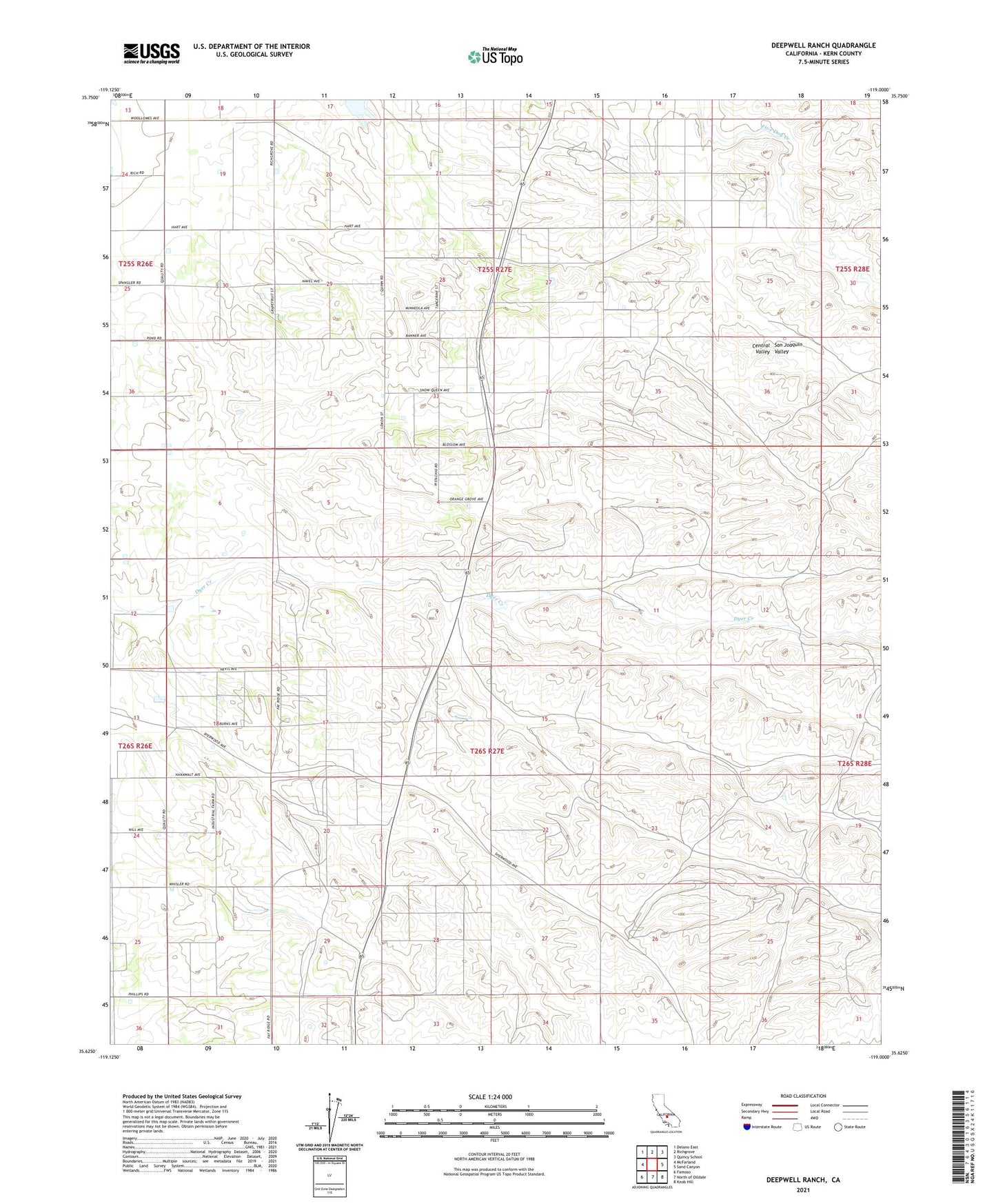
2021 topographic map quadrangle Deepwell Ranch in the state of California. Scale: 1:24000. Based on the newly updated USGS 7.5' US Topo map series, this map is in the following counties: Kern. The map contains contour data, water features, and other items you are used to seeing on USGS maps, but also has updated roads and other features. This is the next generation of topographic maps. Printed on high-quality waterproof paper with UV fade-resistant inks.
Quads adjacent to this one:
West: McFarland
Northwest: Delano East
North: Richgrove
Northeast: Quincy School
East: Sand Canyon
Southeast: Knob Hill
South: North of Oildale
Southwest: Famoso
This map covers the same area as the classic USGS quad with code o35119f1.
Contains the following named places: Big Four Ranch 737 Dam, Deepwell Ranch, Dunlap Auxiliary Army Airfield Number 4, Hodgeman Ranch, Villard Ranch