MyTopo
Elk Creek California US Topo Map
Couldn't load pickup availability
Also explore the Elk Creek Forest Service Topo of this same quad for updated USFS data
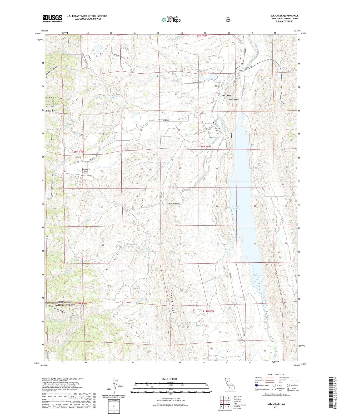
2021 topographic map quadrangle Elk Creek in the state of California. Scale: 1:24000. Based on the newly updated USGS 7.5' US Topo map series, this map is in the following counties: Glenn. The map contains contour data, water features, and other items you are used to seeing on USGS maps, but also has updated roads and other features. This is the next generation of topographic maps. Printed on high-quality waterproof paper with UV fade-resistant inks.
Quads adjacent to this one:
West: Felkner Hill
Northwest: Alder Springs
North: Chrome
Northeast: Julian Rocks
East: Fruto
Southeast: Rail Canyon
South: Stonyford
Southwest: Saint John Mountain
This map covers the same area as the classic USGS quad with code o39122e5.
Contains the following named places: Bidwell Point, Bowman Canyon, Briscoe Creek, Briscoe Rocks, Butler Landing Strip, Butler Place, Circle C 375 Dam, Clover Creek, Commander Industrial Sawmill, Diamond M Ranch Airport, E A Wright 371 Dam, Elk Creek, Elk Creek Butte Lookout, Elk Creek Cemetery, Elk Creek Census Designated Place, Elk Creek Community Church, Elk Creek Elementary School, Elk Creek Fire Protection District - Elk Creek Volunteer Fire Department, Elk Creek Junior - Senior High School, Elk Creek Post Office, Garrison Ranch, Gravelly Ridge, Green Valley, Mad Creek, McGill Creek, North Fork Briscoe Creek, North Fork Elk Creek, South Fork Elk Creek, Stony Gorge Dam, Stony Gorge Reservoir, ZIP Code: 95939