MyTopo
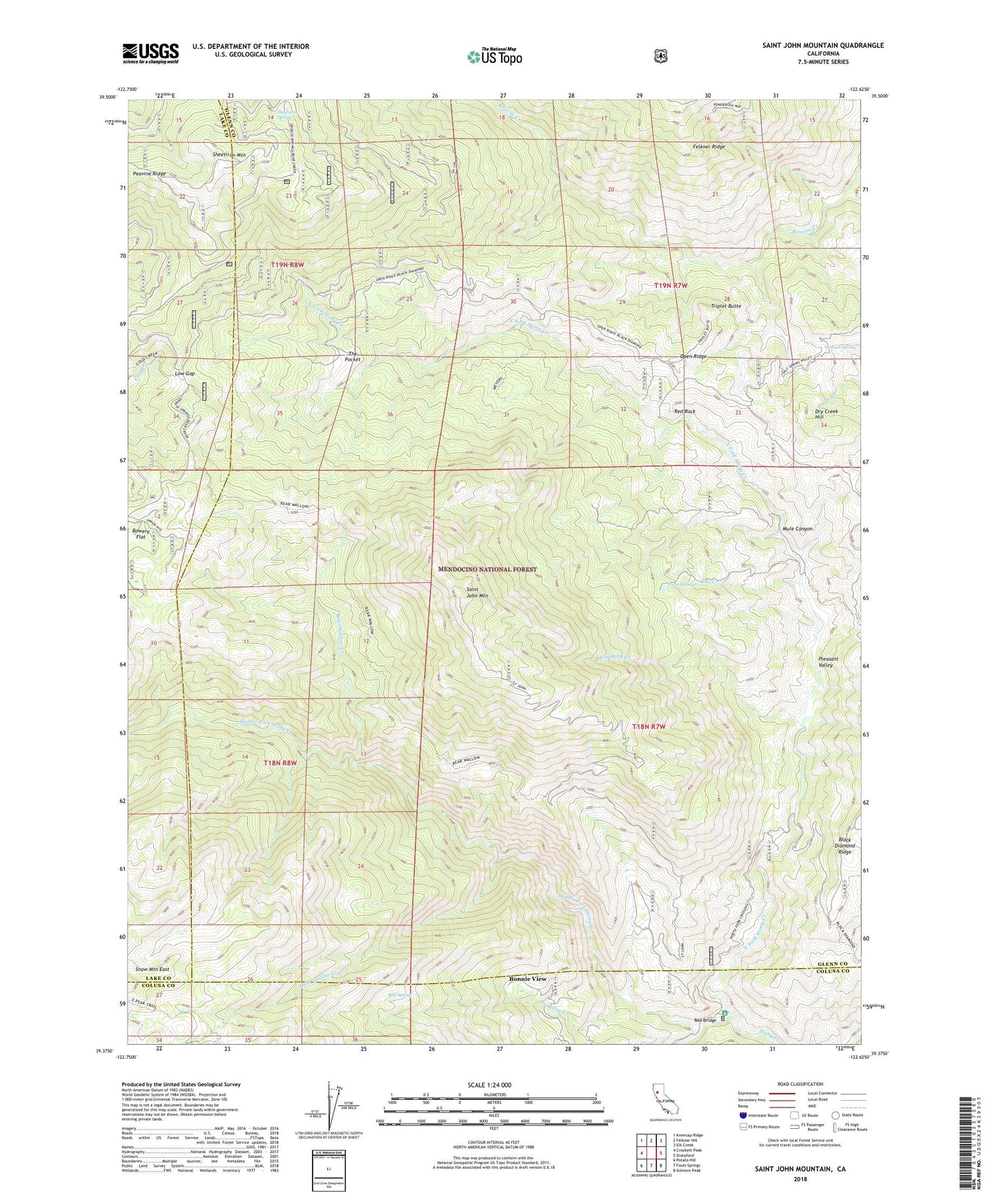
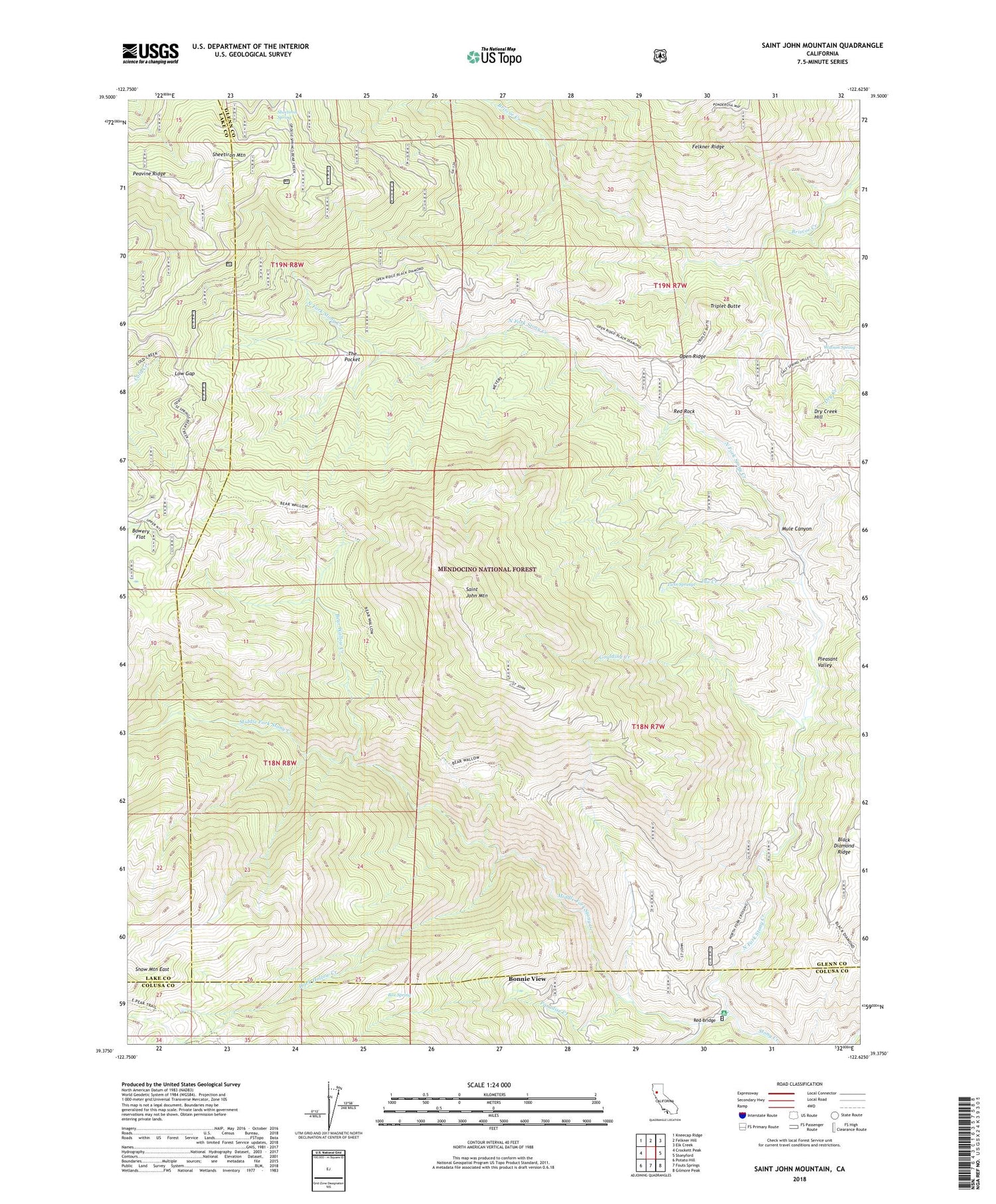
Saint John Mountain California US Topo Map
Couldn't load pickup availability
Also explore the Saint John Mountain Forest Service Topo of this same quad for updated USFS data
2022 topographic map quadrangle Saint John Mountain in the state of California. Scale: 1:24000. Based on the newly updated USGS 7.5' US Topo map series, this map is in the following counties: Glenn, Lake, Colusa. The map contains contour data, water features, and other items you are used to seeing on USGS maps, but also has updated roads and other features. This is the next generation of topographic maps. Printed on high-quality waterproof paper with UV fade-resistant inks.
Quads adjacent to this one:
West: Crockett Peak
Northwest: Kneecap Ridge
North: Felkner Hill
Northeast: Elk Creek
East: Stonyford
Southeast: Gilmore Peak
South: Fouts Springs
Southwest: Potato Hill
Contains the following named places: Bear Wallow Creek, Bear Wallow Trail, Bearwallow Trailhead Parking, Bonnie View, Bonnie View Trail, Bowery Flat, Box Spring, Brittan Ranch, Dark Hollow Creek, Dry Creek Hill, Goulding Creek, Happy Camp, Ida Creek, Low Gap, Meyers Cabin, Middle Fork Stony Creek, Mule Canyon, North Fork Campground, North Fork Stony Creek, Open Ridge, Paradise Creek, Peavine Ridge, Pleasant Valley, Red Bridge, Red Rock, Saint John Mountain, Sheetiron Mountain, Sheetiron Spring, South Fork Stony Creek, The Pocket, Triplet Butte, Twin Springs, Watson Spring, Windy Point Trailhead, Windy Point Trailhead Parking


