MyTopo
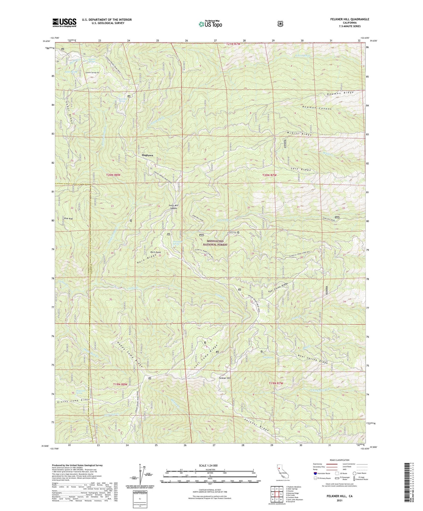
Felkner Hill California US Topo Map
Couldn't load pickup availability
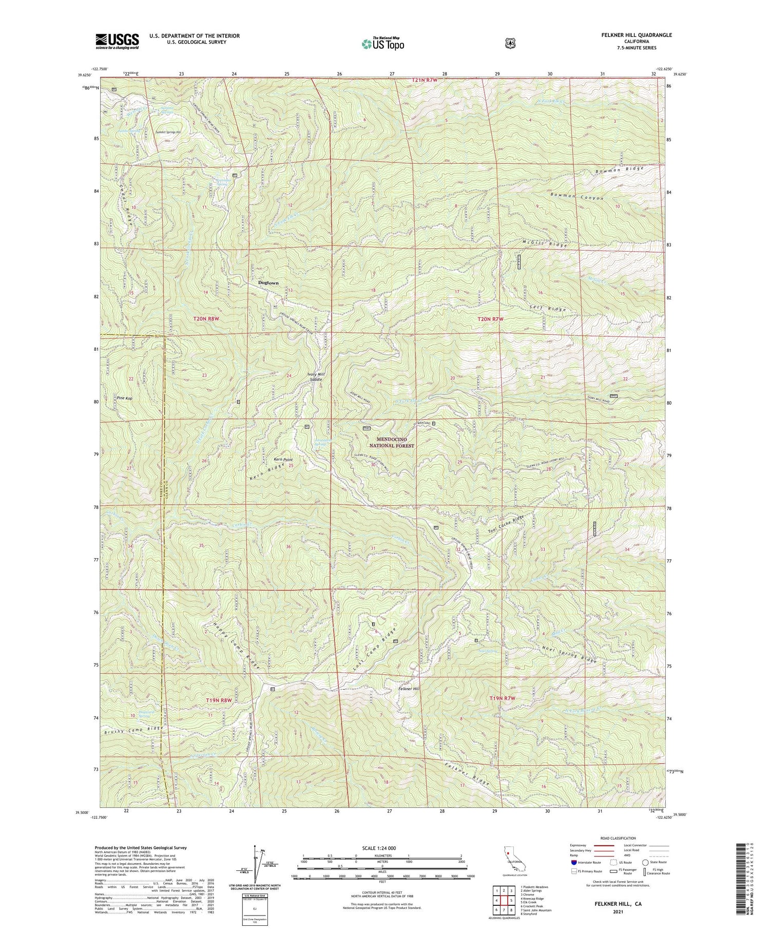
Also explore the Felkner Hill Forest Service Topo of this same quad for updated USFS data
2021 topographic map quadrangle Felkner Hill in the state of California. Scale: 1:24000. Based on the newly updated USGS 7.5' US Topo map series, this map is in the following counties: Glenn, Lake. The map contains contour data, water features, and other items you are used to seeing on USGS maps, but also has updated roads and other features. This is the next generation of topographic maps. Printed on high-quality waterproof paper with UV fade-resistant inks.
Quads adjacent to this one:
West: Kneecap Ridge
Northwest: Plaskett Meadows
North: Alder Springs
Northeast: Chrome
East: Elk Creek
Southeast: Stonyford
South: Saint John Mountain
Southwest: Crockett Peak
This map covers the same area as the classic USGS quad with code o39122e6.
Contains the following named places: Bowman Ridge, Butler Camp, Cedar Ridge, Dixon Orchard, Dogtown, Dutch Oven Creek, El Manzano Rancho, Felkner Hill, Felkner Ridge, Foreman Spring, Happy Camp Ridge, Hayward Spring, Hecks Camp, Ivory Mill Saddle, Ivory Mill Station, Jerusalem Spring, Jumbo Spring, Kern Point, Kern Ridge, Lost Camp Ridge, McGill Ridge, Meyers Place, Noel Spring, Noel Spring Ridge, North Fork Corbin Creek, Pine Kop, Self Ridge, Ski Hi, Smiley Camp, Summit Springs, Summit Springs Hill, Tool Cache Ridge, Vanderford Cabin