MyTopo
Sattley California US Topo Map
Couldn't load pickup availability
Also explore the Sattley Forest Service Topo of this same quad for updated USFS data
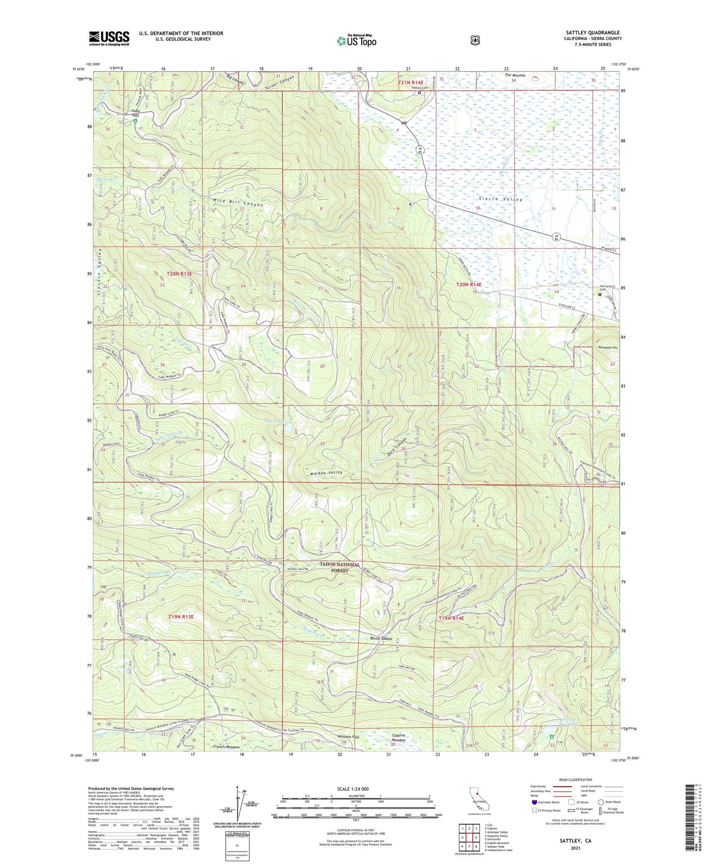
2021 topographic map quadrangle Sattley in the state of California. Scale: 1:24000. Based on the newly updated USGS 7.5' US Topo map series, this map is in the following counties: Sierra. The map contains contour data, water features, and other items you are used to seeing on USGS maps, but also has updated roads and other features. This is the next generation of topographic maps. Printed on high-quality waterproof paper with UV fade-resistant inks.
Quads adjacent to this one:
West: Haypress Valley
Northwest: Clio
North: Calpine
Northeast: Antelope Valley
East: Sierraville
Southeast: Independence Lake
South: Webber Peak
Southwest: English Mountain
This map covers the same area as the classic USGS quad with code o39120e4.
Contains the following named places: Ahart Camp, Berry Creek, Big Canyon, Bonta Saddle, Church Camp, Coburn Lake, Dark Canyon, Dark Canyon Trail, Franklin Cabin, Hamlin Creek, Henness Pass, Lake of The Woods, Maiden Valley, Nichols Mill, Randolph Hill, Sattley, Sattley Cemetery, Sattley Post Office, Sierra County Fire Protection District 3 - Sattley, Sierraville Cemetery, The Mounds, Turner Canyon, Wild Bill Canyon, Yuba Pass, Yubas Pass Campground, ZIP Code: 96126