MyTopo
Briceland California US Topo Map
Couldn't load pickup availability
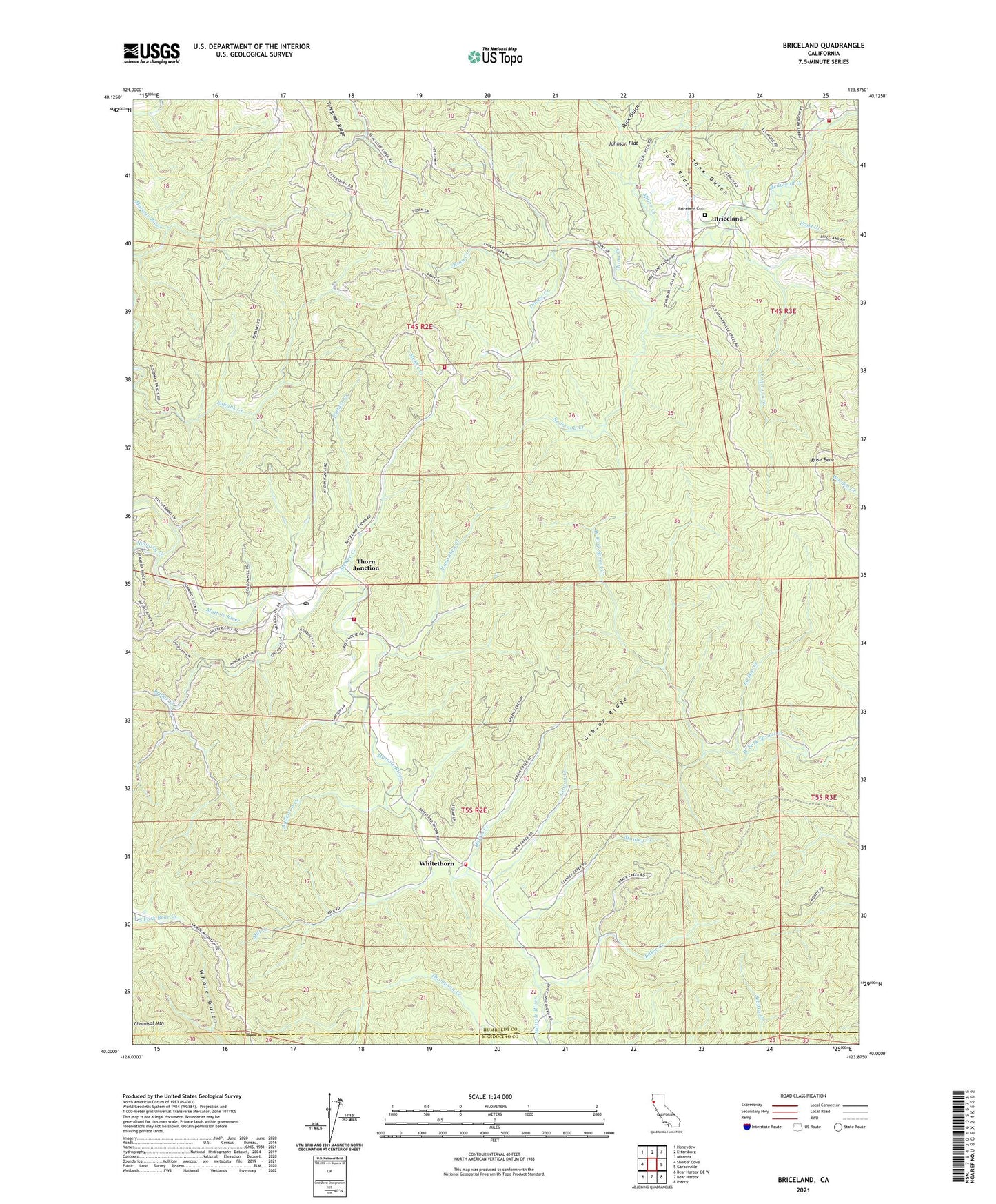
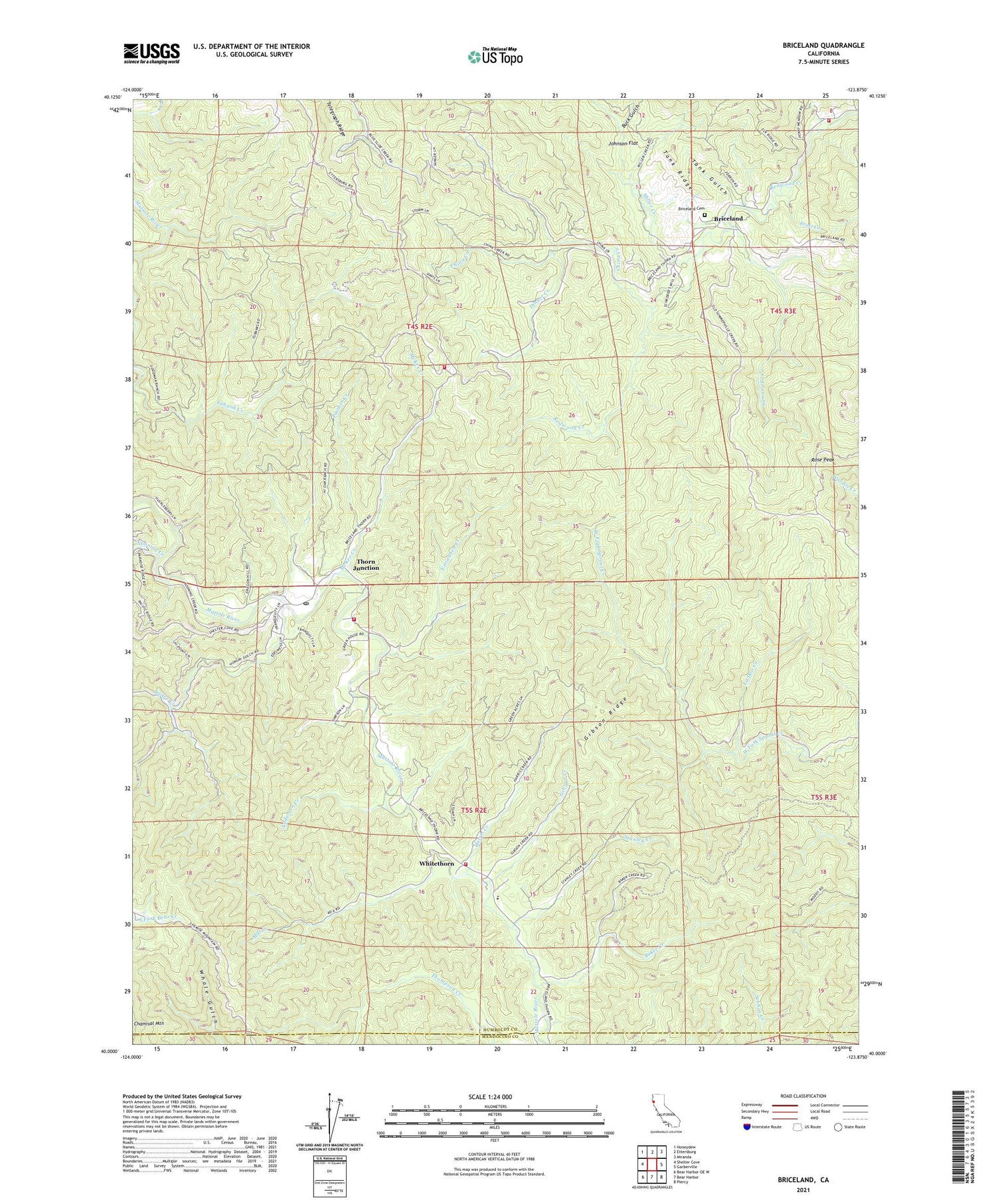
2021 topographic map quadrangle Briceland in the state of California. Scale: 1:24000. Based on the newly updated USGS 7.5' US Topo map series, this map is in the following counties: Humboldt, Mendocino. The map contains contour data, water features, and other items you are used to seeing on USGS maps, but also has updated roads and other features. This is the next generation of topographic maps. Printed on high-quality waterproof paper with UV fade-resistant inks.
Quads adjacent to this one:
West: Shelter Cove
Northwest: Honeydew
North: Ettersburg
Northeast: Miranda
East: Garberville
Southeast: Piercy
South: Bear Harbor
Southwest: Bear Harbor OE W
This map covers the same area as the classic USGS quad with code o40123a8.
Contains the following named places: Anderson Creek, Baker Creek, Beginnings Volunteer Fire Department Station 1, Briceland, Briceland Cemetery, Briceland Census Designated Place, Bridge Creek, Buck Gulch, California Department of Forestry and Fire Protection Thorn Forest Station, China Creek, Dinner Creek, Eubank Creek, Frost Creek, Gibson Creek, Gibson Ridge, Harris Creek, Johnson Flat, La Doo Creek, McKee Creek, Mill Creek, Miller Creek, Nooning Creek, Painter Creek, Rose Peak, Somerville Creek, Stanley Creek, Tank Gulch, Tank Ridge, Telegraph Ridge, Telegraph Ridge Fire Department, Thorn Fire Control Station, Thorn Junction, Vanauken Creek, Whitehorn Elementary School, Whitehorn Volunteer Fire Department, Whitethorn, Whitethorn Post Office, ZIP Code: 95589


