MyTopo
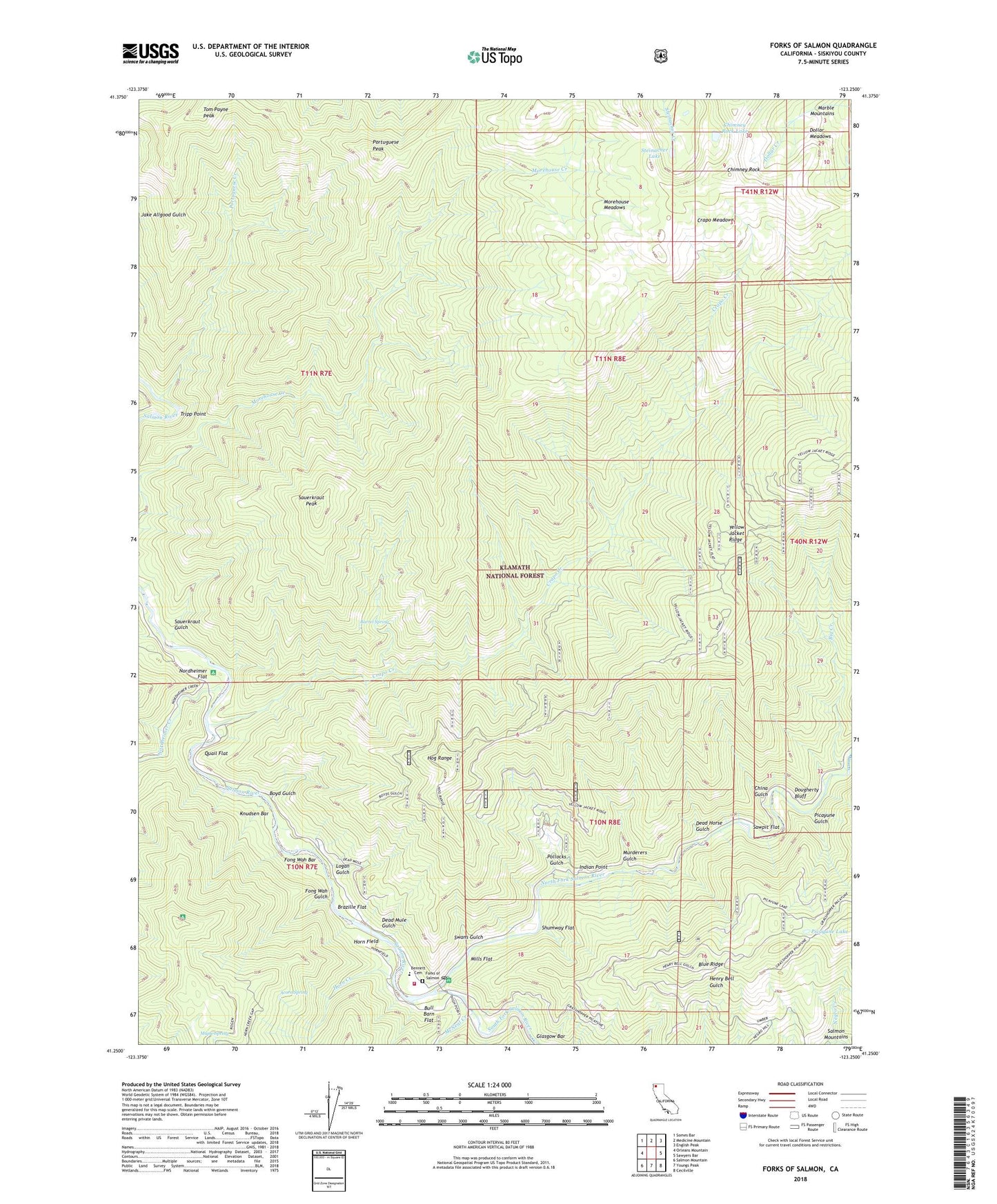
Forks of Salmon California US Topo Map
Couldn't load pickup availability
Also explore the Forks of Salmon Forest Service Topo of this same quad for updated USFS data
2022 topographic map quadrangle Forks of Salmon in the state of California. Scale: 1:24000. Based on the newly updated USGS 7.5' US Topo map series, this map is in the following counties: Siskiyou. The map contains contour data, water features, and other items you are used to seeing on USGS maps, but also has updated roads and other features. This is the next generation of topographic maps. Printed on high-quality waterproof paper with UV fade-resistant inks.
Quads adjacent to this one:
West: Orleans Mountain
Northwest: Somes Bar
North: Medicine Mountain
Northeast: English Peak
East: Sawyers Bar
Southeast: Cecilville
South: Youngs Peak
Southwest: Salmon Mountain
This map covers the same area as the classic USGS quad with code o41123c3.
Contains the following named places: Acorn Spring, Barrel Spring, Bennett Cemetery, Big Creek, Bonally Mine, Boyd Gulch, Brazille Flat, Bull Barn Flat, Chimney Rock, Chimney Rock Lake, China Gulch, Codfish Hill Mine, Crapo Creek, Crapo Meadows, Crapo Mine, Dead Horse Gulch, Dead Mule Gulch, Dollar Meadows, Dougherty Bluff, Dougherty Mine, Evergreen Mine, Fong Wah Bar, Fong Wah Gulch, Forest and Stout Mine, Forks of Salmon, Forks of Salmon Elementary School, Forks of Salmon Guard Station, Forks of Salmon Post Office, Glasgow Bar, Hog Range, Horn Creek, Horn Field, Indian Point, Knudsen Bar, Kramer Mine, Logan Gulch, Maple Spring, McNeal Creek, McNeal Mine, Mills Flat, Morehouse Meadows, Murderers Gulch, Nordheimer Creek, Nordheimer Flat, North Fork Salmon River, Picayune Gulch, Picayune Lake, Pollocks Gulch, Portuguese Creek, Portuguese Peak, Quail Flat, Salmon River Volunteer Fire and Rescue, Sauerkraut Gulch, Sauerkraut Mine, Sauerkraut Peak, Sawpit Flat, Shumway Flat, South Fork Salmon River, Steinacher Lake, Swans Gulch, Tom Payne Peak, Tripp Point, United States Forest Service Station


