MyTopo
English Peak California US Topo Map
Couldn't load pickup availability
Also explore the English Peak Forest Service Topo of this same quad for updated USFS data
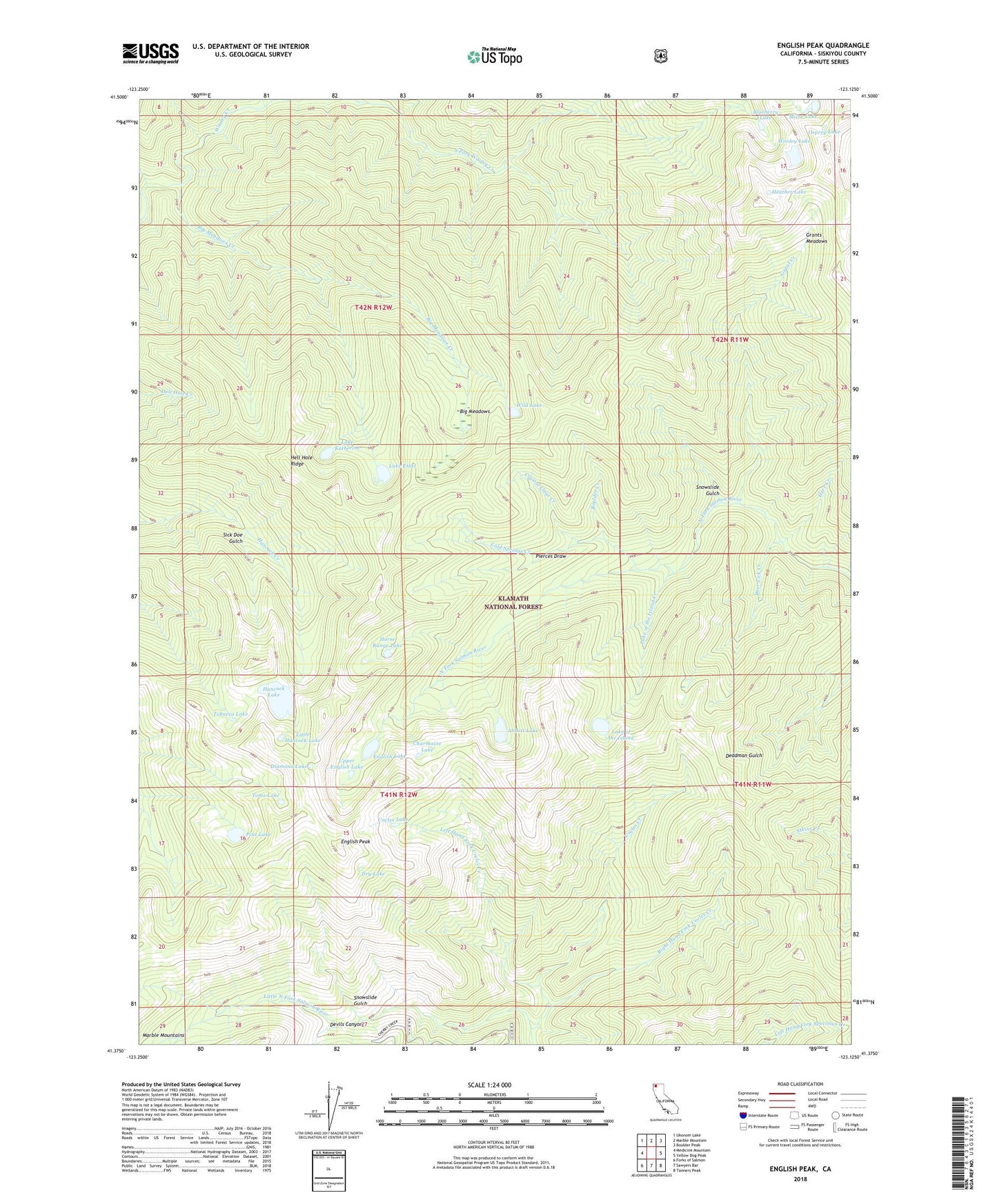
2022 topographic map quadrangle English Peak in the state of California. Scale: 1:24000. Based on the newly updated USGS 7.5' US Topo map series, this map is in the following counties: Siskiyou. The map contains contour data, water features, and other items you are used to seeing on USGS maps, but also has updated roads and other features. This is the next generation of topographic maps. Printed on high-quality waterproof paper with UV fade-resistant inks.
Quads adjacent to this one:
West: Medicine Mountain
Northwest: Ukonom Lake
North: Marble Mountain
Northeast: Boulder Peak
East: Yellow Dog Peak
Southeast: Tanners Peak
South: Sawyers Bar
Southwest: Forks of Salmon
This map covers the same area as the classic USGS quad with code o41123d2.
Contains the following named places: Abbott Lake, Abbotts Upper Cabin, Big Meadows, Big Meadows Creek, Blueberry Lake, Boulder Creek, Charmaine Lake, Cold Springs Creek, Crystal Clear Creek, Deer Lick Creek, Devils Canyon, Diamond Lake, Dollar Creek, Dry Lake, English Lake, English Peak, English Peak Lookout Tower, Grant Creek, Grants Meadows, Hancock Lake, Heather Lake, Hell Hole Ridge, Herr Creek, Horse Range Lake, Lake Ethel, Lake Katherine, Lake of the Island, Lake of the Island Creek, Left Hand Fork Uncles Creek, Little Hancock Lake, Marble Mountain Wilderness, Milne Lake, Osprey Lake, Pierces Draw, Pine Lake, Right Hand Fork Uncles Creek, Sick Doe Gulch, Smith Cabin, Snowslide Gulch, Tobacco Lake, Tom Taylor Cabin, Toms Lake, Uncles Creek, Uncles Lake, Upper English Lake, Wild Lake, Wooley Lake


