MyTopo
Greenville California US Topo Map
Couldn't load pickup availability
Also explore the Greenville Forest Service Topo of this same quad for updated USFS data
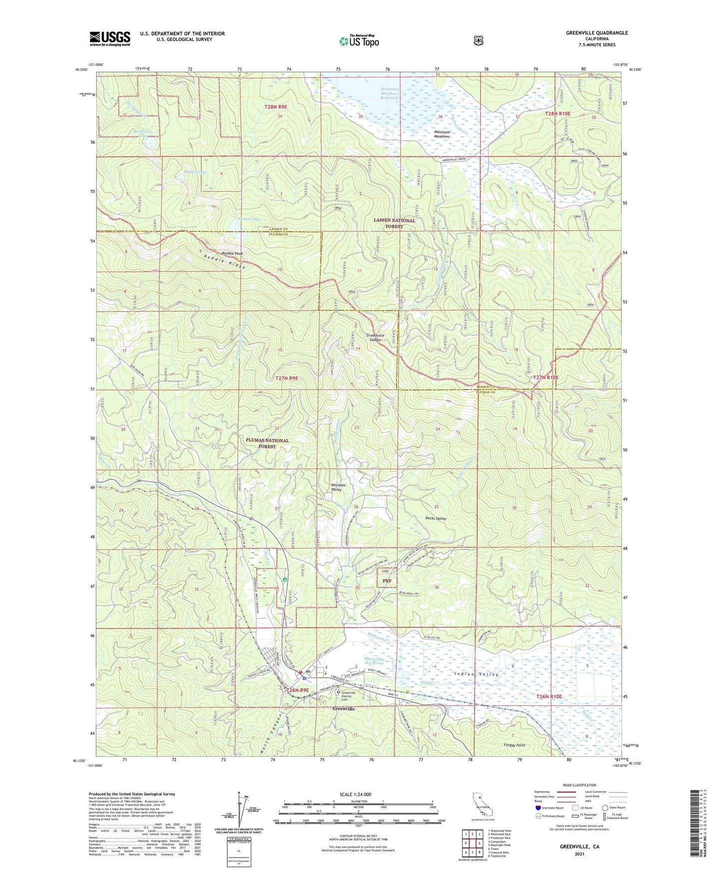
2021 topographic map quadrangle Greenville in the state of California. Scale: 1:24000. Based on the newly updated USGS 7.5' US Topo map series, this map is in the following counties: Plumas, Lassen. The map contains contour data, water features, and other items you are used to seeing on USGS maps, but also has updated roads and other features. This is the next generation of topographic maps. Printed on high-quality waterproof paper with UV fade-resistant inks.
Quads adjacent to this one:
West: Canyondam
Northwest: Westwood West
North: Westwood East
Northeast: Fredonyer Pass
East: Moonlight Peak
Southeast: Taylorsville
South: Crescent Mills
Southwest: Twain
This map covers the same area as the classic USGS quad with code o40120b8.
Contains the following named places: Deerheart Lake, First Baptist Church of Greenville, First Water Trough Creek, Greenville, Greenville Campground, Greenville Census Designated Place, Greenville Community United Methodist Church, Greenville Creek, Greenville District Cemetery, Greenville Elementary School, Greenville Junior-Senior High School, Greenville Post Office, Greenville Rancheria, Greenville Ranger Station, Greenville Saddle, Greenville Town Hall, Hauns Creek, Hidden Lake, Homer Lake, Indian Mission, Indian Valley Fire and Rescue Fire Station, Indian Valley High School, Indian Valley Hospital District, Indian Valley Hospital Heliport, Indian Valley Hot Springs, Indian Valley Mine, Keddie Peak, Keddie Ridge, Lassen National Forest, Mountain Meadows, New York Mine, North Canyon, Pecks Valley, Pecks Valley Creek, Peter Lassen Marker, Plumas County Sheriff's Office Greenville Substation, Red Rock Mine, Stroing Ranch, Williams Creek, Williams Valley, Wolf Creek Middle School