MyTopo
Grasshopper Ridge California US Topo Map
Couldn't load pickup availability
Also explore the Grasshopper Ridge Forest Service Topo of this same quad for updated USFS data
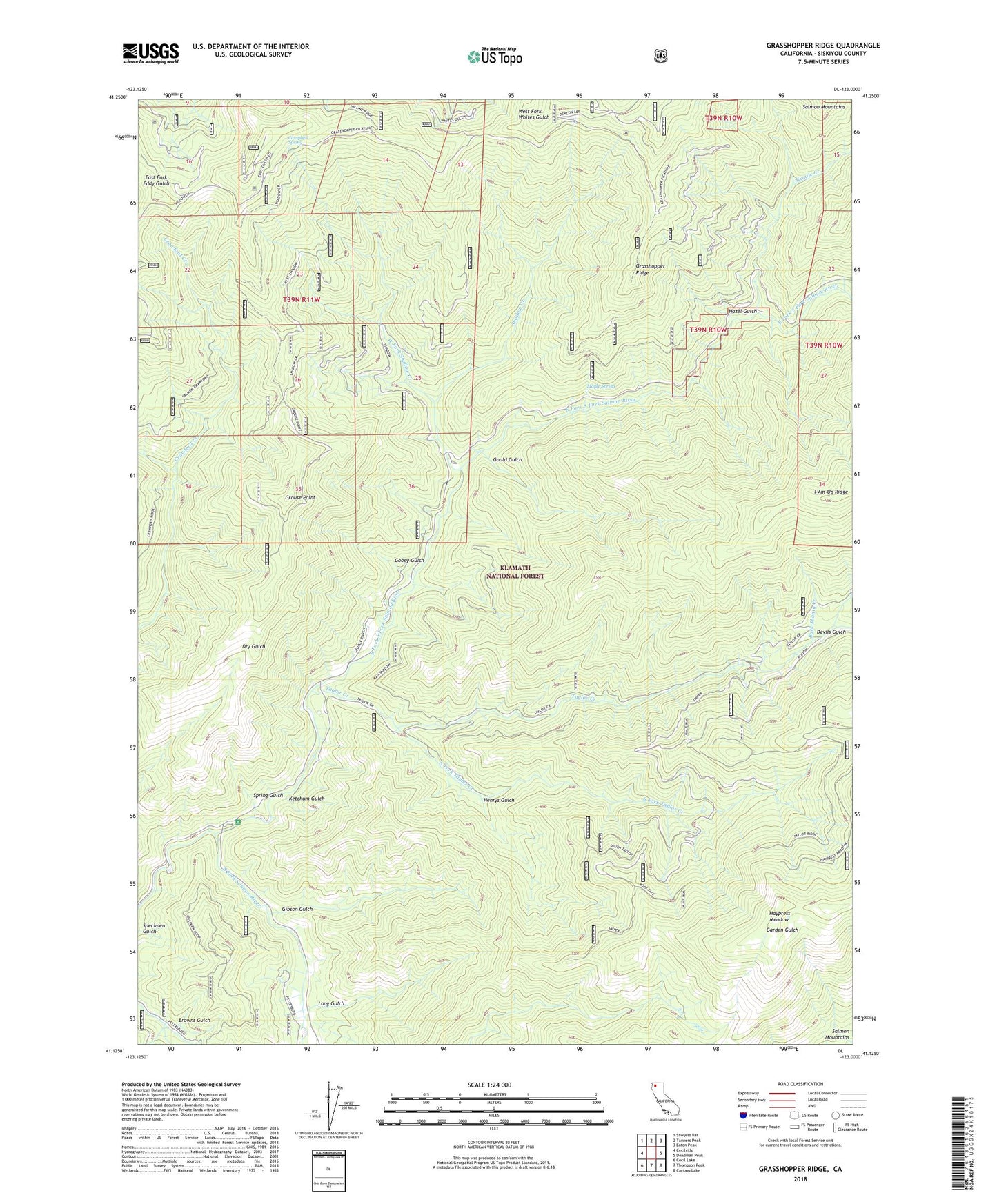
2022 topographic map quadrangle Grasshopper Ridge in the state of California. Scale: 1:24000. Based on the newly updated USGS 7.5' US Topo map series, this map is in the following counties: Siskiyou. The map contains contour data, water features, and other items you are used to seeing on USGS maps, but also has updated roads and other features. This is the next generation of topographic maps. Printed on high-quality waterproof paper with UV fade-resistant inks.
Quads adjacent to this one:
West: Cecilville
Northwest: Sawyers Bar
North: Tanners Peak
Northeast: Eaton Peak
East: Deadman Peak
Southeast: Caribou Lake
South: Thompson Peak
Southwest: Cecil Lake
This map covers the same area as the classic USGS quad with code o41123b1.
Contains the following named places: Bark Shanty Creek, Browns Gulch, Campbell Spring, Devils Gulch, East Fork Campground, East Fork South Fork Salmon River, Eddy Gulch Lookout, Georges Ranch, Gibson Gulch, Gooey Gulch, Gould Gulch, Grasshopper Ridge, Grouse Point, Haypress Meadow, Hazel Gulch, Henrys Gulch, Ketchum Gulch, Long Gulch, Maple Spring, Moccasin Ranch, Shadow Creek, Shadow Creek Campground, Sixmile Creek, South Fork Taylor Creek, Spring Gulch, Taylor Creek, West Fork Shadow Creek