MyTopo
Cecil Lake California US Topo Map
Couldn't load pickup availability
Also explore the Cecil Lake Forest Service Topo of this same quad for updated USFS data
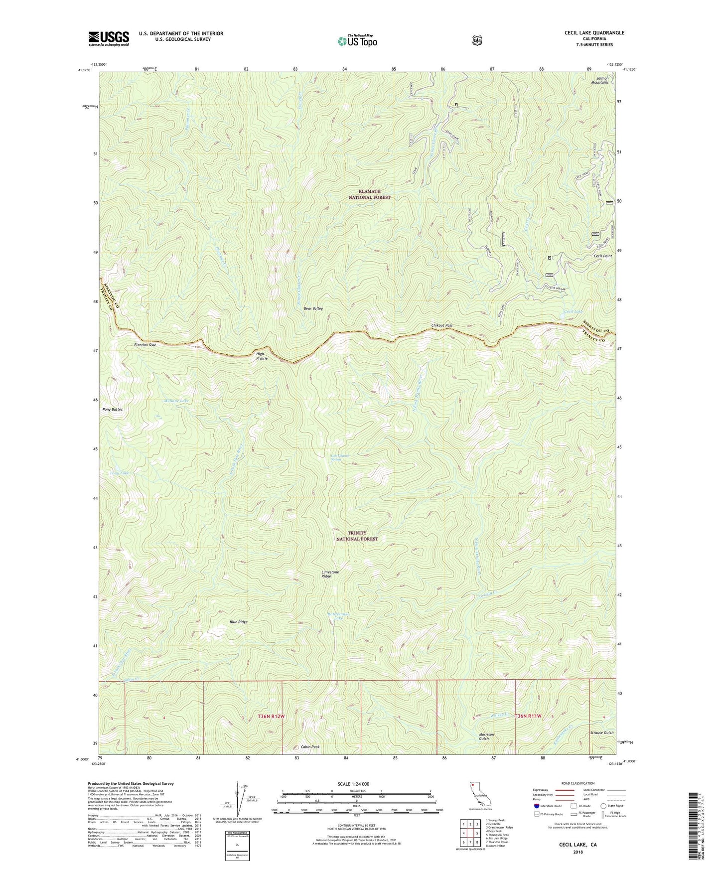
2022 topographic map quadrangle Cecil Lake in the state of California. Scale: 1:24000. Based on the newly updated USGS 7.5' US Topo map series, this map is in the following counties: Trinity, Siskiyou. The map contains contour data, water features, and other items you are used to seeing on USGS maps, but also has updated roads and other features. This is the next generation of topographic maps. Printed on high-quality waterproof paper with UV fade-resistant inks.
Quads adjacent to this one:
West: Dees Peak
Northwest: Youngs Peak
North: Cecilville
Northeast: Grasshopper Ridge
East: Thompson Peak
Southeast: Mount Hilton
South: Thurston Peaks
Southwest: Jim Jam Ridge
This map covers the same area as the classic USGS quad with code o41123a2.
Contains the following named places: Bear Valley, Blue Ridge, Cabin Creek, Cabin Peak, Cecil Lake, Cecil Point, Cecil Point Lookout, Chikoot Pass, China Gardens, China Gardens Camp, Election Camp, Election Gap, Five Dollar Camp, Fosters Cabin, Grizzly Creek, High Prairie, Hull Cabin, Jorstad Cabin, Last Chance Camp, Last Chance Spring, Morrison Cabin, Morrison Gulch, Mullane Corral, Mullane Lake, Pegleg Camp, Pony Lake, Rattlesnake Camp, Rattlesnake Lake, Strause Gulch, Whisky Creek