MyTopo
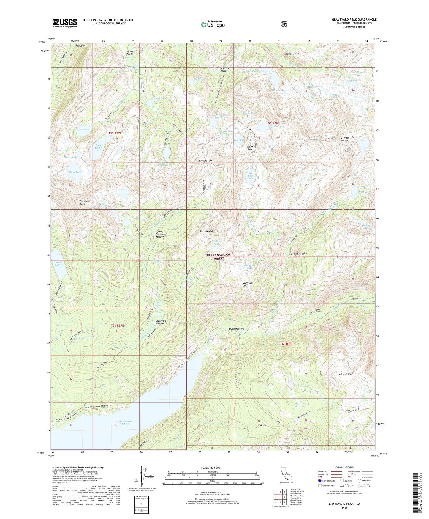
Graveyard Peak California US Topo Map
Couldn't load pickup availability
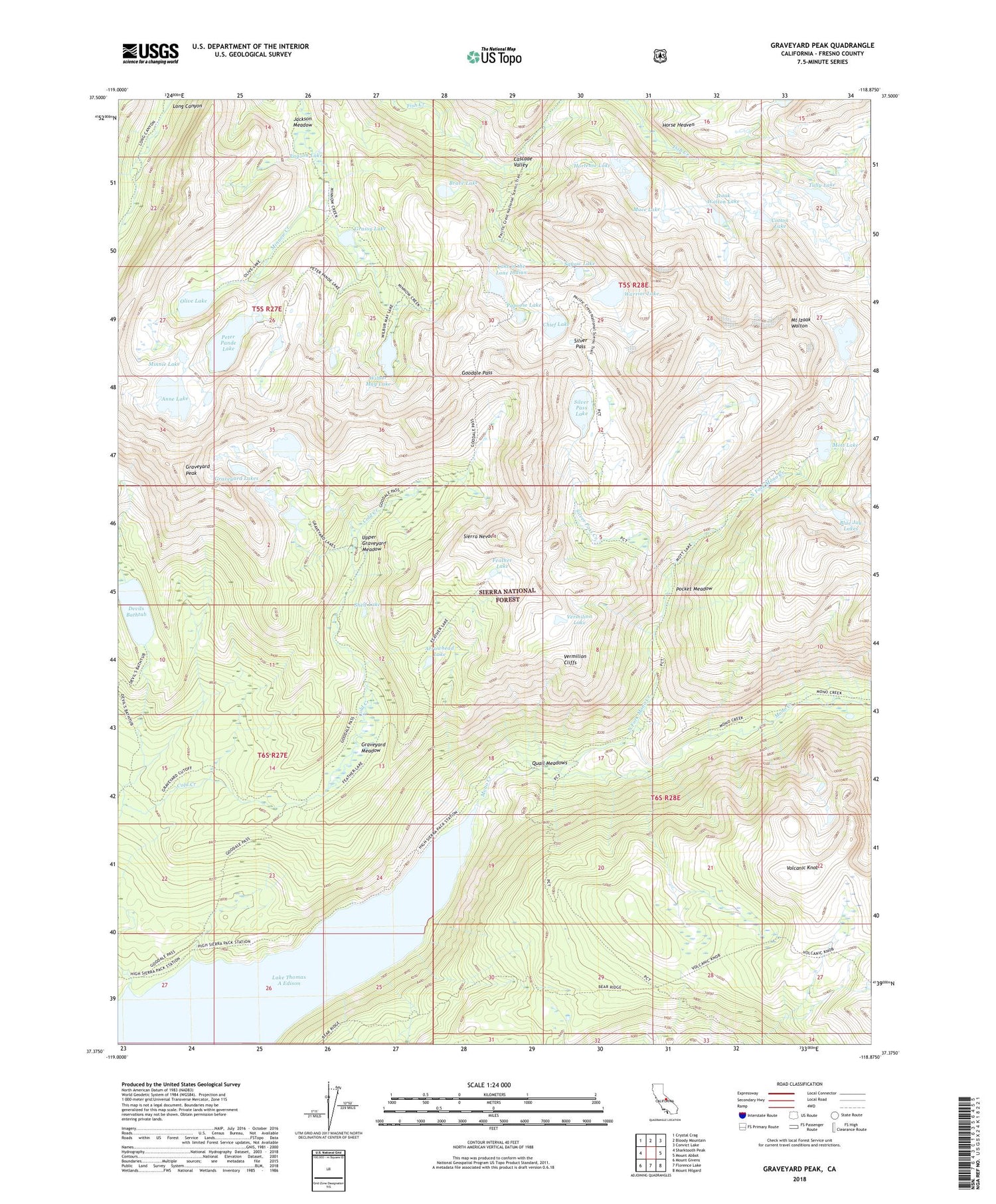
Also explore the Graveyard Peak Forest Service Topo of this same quad for updated USFS data
2023 topographic map quadrangle Graveyard Peak in the state of California. Scale: 1:24000. Based on the newly updated USGS 7.5' US Topo map series, this map is in the following counties: Fresno. The map contains contour data, water features, and other items you are used to seeing on USGS maps, but also has updated roads and other features. This is the next generation of topographic maps. Printed on high-quality waterproof paper with UV fade-resistant inks.
Quads adjacent to this one:
West: Sharktooth Peak
Northwest: Crystal Crag
North: Bloody Mountain
Northeast: Convict Lake
East: Mount Abbot
Southeast: Mount Hilgard
South: Florence Lake
Southwest: Mount Givens
This map covers the same area as the classic USGS quad with code o37118d8.
Contains the following named places: Anne Lake, Arrowhead Lake, Bear Ridge, Bighorn Lake, Blue Jay Lakes, Brave Lake, Chief Lake, Cotton Lake, Devils Bathtub, Feather Lake, Goodale Pass, Grassy Lake, Graveyard Lakes, Graveyard Meadow, Graveyard Peak, Horse Heaven, Hortense Lake, Izaak Walton Lake, Jackson Meadow, Lagoon Lake, Lake of the Lone Indian, Lake Thomas A Edison, Mace Lake, Minnie Lake, Mott Lake, Mount Izaak Walton, North Fork Mono Creek, Olive Lake, Papoose Lake, Peter Pande Lake, Pick and Shovel Mine, Pocket Meadow, Quail Meadows, Shelf Lake, Silver Divide, Silver Pass, Silver Pass Creek, Silver Pass Lake, Squaw Lake, Tully Lake, Upper Graveyard Meadow, Upper Vermillion Campground, Vermilion Cliffs, Vermilion Lake, Volcanic Knob, Warrior Lake, Wilbur May Lake