MyTopo
Sharktooth Peak California US Topo Map
Couldn't load pickup availability
Also explore the Sharktooth Peak Forest Service Topo of this same quad for updated USFS data
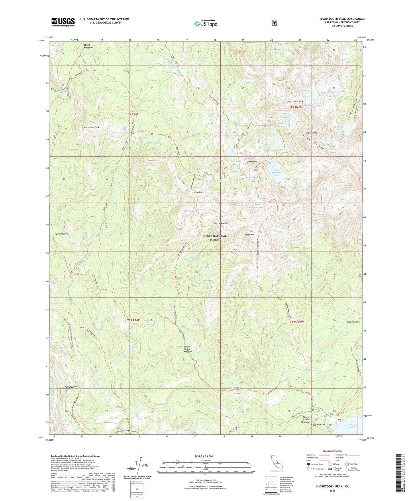
2021 topographic map quadrangle Sharktooth Peak in the state of California. Scale: 1:24000. Based on the newly updated USGS 7.5' US Topo map series, this map is in the following counties: Fresno. The map contains contour data, water features, and other items you are used to seeing on USGS maps, but also has updated roads and other features. This is the next generation of topographic maps. Printed on high-quality waterproof paper with UV fade-resistant inks.
Quads adjacent to this one:
West: Balloon Dome
Northwest: Cattle Mountain
North: Crystal Crag
Northeast: Bloody Mountain
East: Graveyard Peak
Southeast: Florence Lake
South: Mount Givens
Southwest: Kaiser Peak
This map covers the same area as the classic USGS quad with code o37119d1.
Contains the following named places: Arch Rock, Baby Lake, Bathtub Lake, Beetlebug Lake, Big Margaret Lake, Boggy Meadow, Cockscomb, Cockscomb Lakes, Cold Creek, Coyote Lake, Fawn Meadow, Fern Lake, Four Forks Creek, Frog Lake, Hedrick Meadow, High Sierra Edison Pack Station, Lower Saddle Lake, Margaret Lakes, Midge Lake, Onion Spring Meadow, Pincushion Peak, Pocket Lake, Rainbow Lake, Reef Lake, Rock Creek Lake, Saddle Mountain, Sand Lake, Scarab Lake, Sedge Lake, Sharktooth Lake, Sharktooth Peak, Shorty Lake, Silver Peak, String Meadows, Tub Lake, Tule Meadow, Twin Meadows, Upper Saddle Lake, Useless Lake, Vermilion Campground, Vermillion Valley Resort, Warm Creek Meadow