
MyTopo
Gube Mountain California US Topo Map
Couldn't load pickup availability
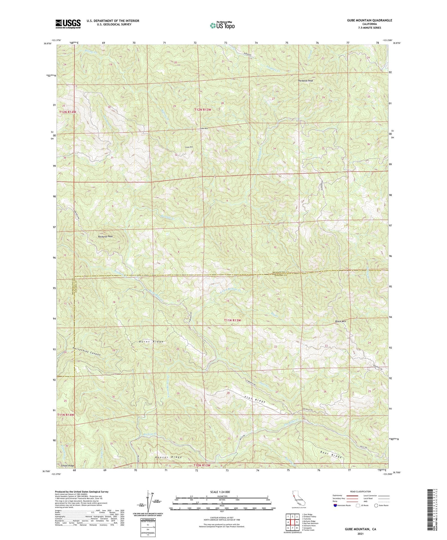
2021 topographic map quadrangle Gube Mountain in the state of California. Scale: 1:24000. Based on the newly updated USGS 7.5' US Topo map series, this map is in the following counties: Mendocino, Sonoma. The map contains contour data, water features, and other items you are used to seeing on USGS maps, but also has updated roads and other features. This is the next generation of topographic maps. Printed on high-quality waterproof paper with UV fade-resistant inks.
Quads adjacent to this one:
West: McGuire Ridge
Northwest: Zeni Ridge
North: Ornbaun Valley
Northeast: Yorkville
East: Big Foot Mountain
Southeast: Tombs Creek
South: Annapolis
Southwest: Stewarts Point
This map covers the same area as the classic USGS quad with code o38123g3.
Contains the following named places: Black Mountain, Burnt Ridge, Burnt Ridge Creek, Flat Ridge, Flat Ridge Creek, Flat Ridge Ranch, Gube Mountain, Howlett Ranch, Newton Creek, North Fork Buckeye Creek, Norton Ranch, Osser Creek, Pardaloe Peak, Rockpile Peak, Roy Creek, Snook Mountain, Yucinovich Ranch


