MyTopo
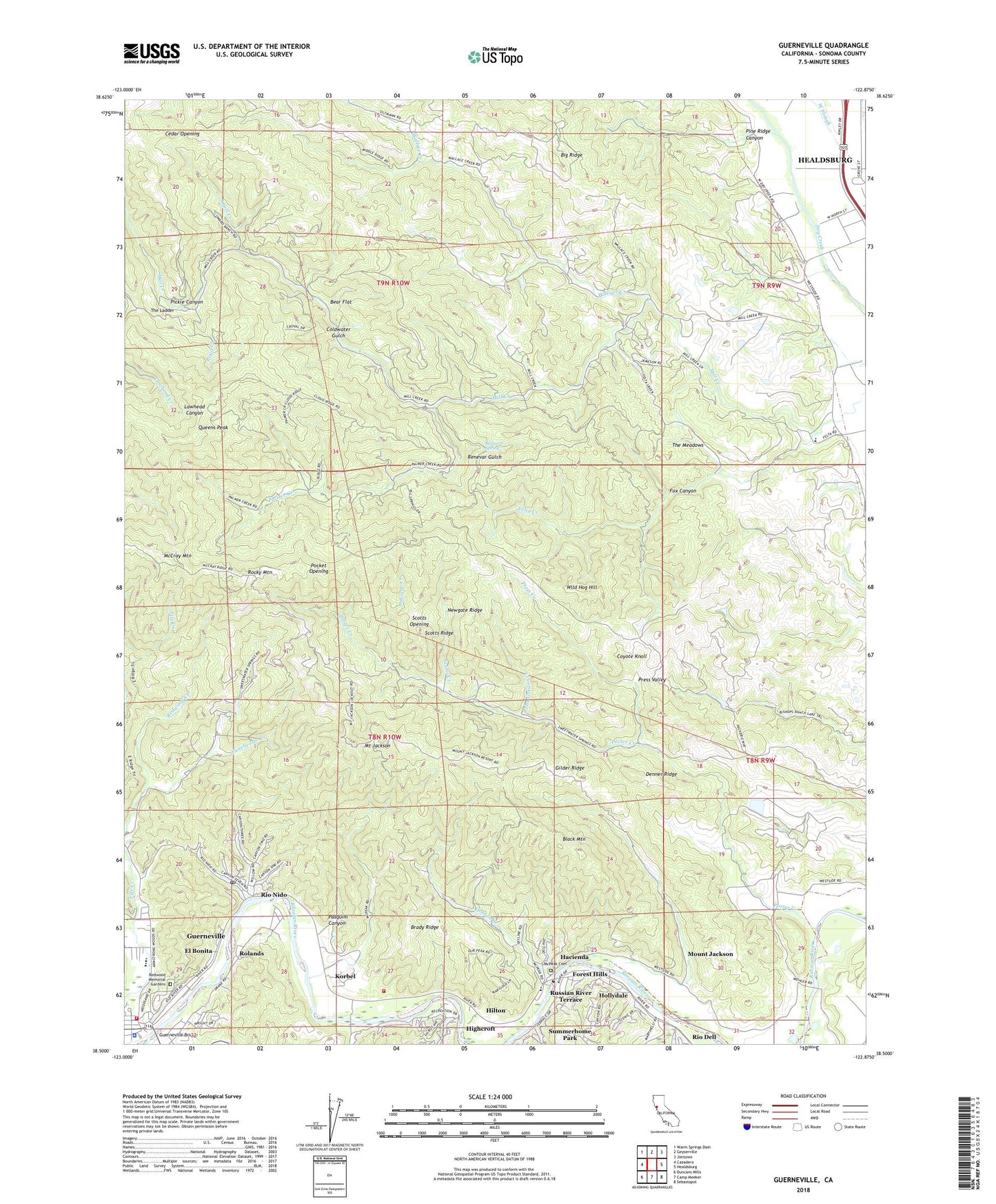
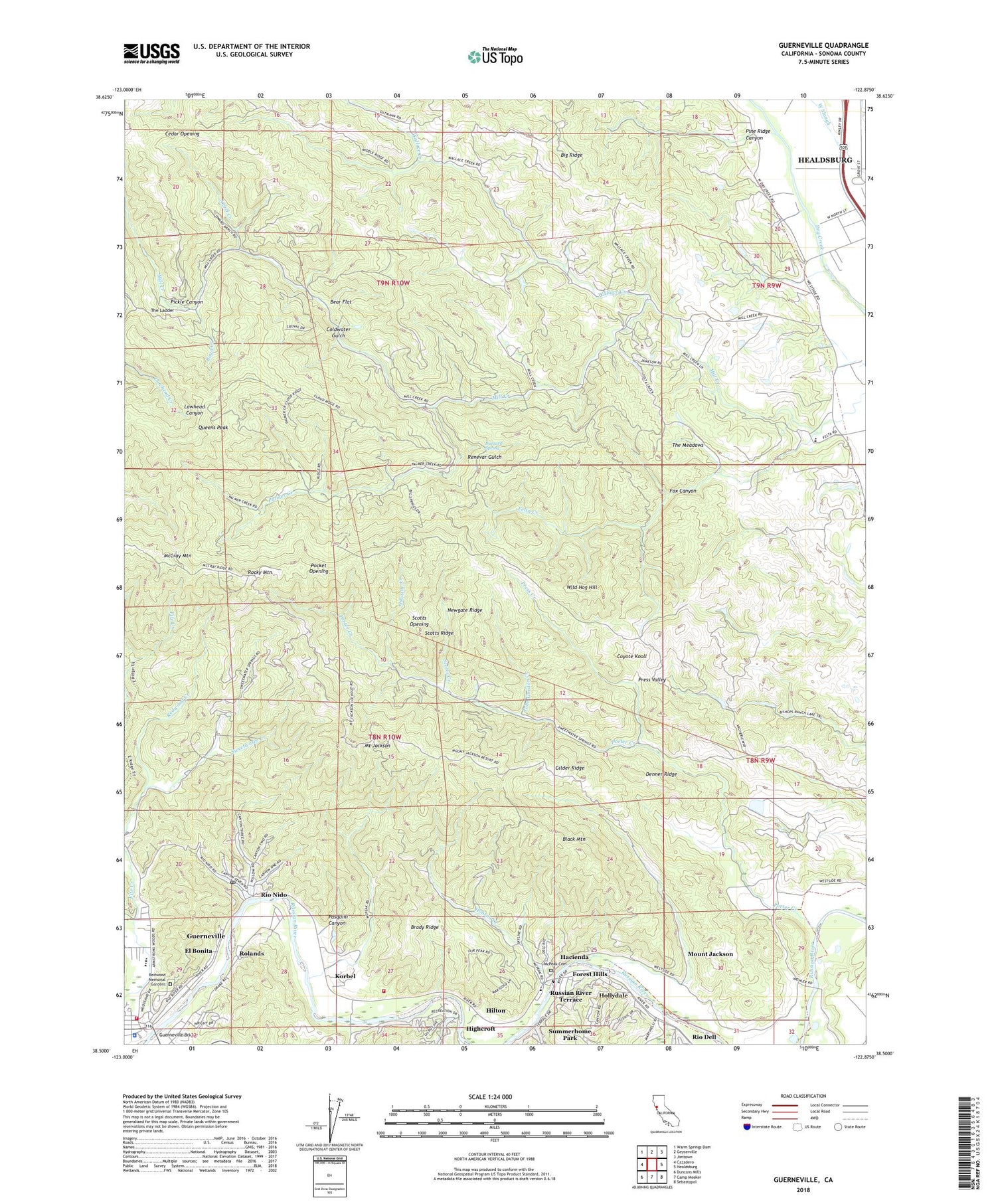
Guerneville California US Topo Map
Couldn't load pickup availability
2021 topographic map quadrangle Guerneville in the state of California. Scale: 1:24000. Based on the newly updated USGS 7.5' US Topo map series, this map is in the following counties: Sonoma. The map contains contour data, water features, and other items you are used to seeing on USGS maps, but also has updated roads and other features. This is the next generation of topographic maps. Printed on high-quality waterproof paper with UV fade-resistant inks.
Quads adjacent to this one:
West: Cazadero
Northwest: Warm Springs Dam
North: Geyserville
Northeast: Jimtown
East: Healdsburg
Southeast: Sebastopol
South: Camp Meeker
Southwest: Duncans Mills
This map covers the same area as the classic USGS quad with code o38122e8.
Contains the following named places: Angel Creek, Bear Flat, Black Mountain, Boyd Creek, Brady Ridge, Buzzard Spring, Camp Rosenberg, Cedar Opening, Christian Family Center Pentecostal Church of God, Coldwater Gulch, Coyote Knoll, Daniels School, Davis Bynum Winery, Denner Ridge, Department of Forestry and Fire Protection Hilton Fire Station, East Ridge Trail, El Bonita, Felta Creek, Felta School, Forest Hills, Fox Canyon, Gilder Ridge, Green Valley Creek, Guerneville, Guerneville Branch Sonoma County Public Library, Guerneville Bridge, Guerneville Census Designated Place, Guerneville Community Church, Guerneville Community Day School, Guerneville Elementary School, Hacienda, Healdsburg Division, Healdsburg Post Office, Highcroft, Hilton, Hobson Creek, Hollydale, Inman Shale Quarry, John Gordon Creek, Junction School, KMGG-FM (Monte Rio), Korbel, Korbel Winery, KXFX-FM (Santa Rosa), Lafayette School, McCray Mountain, McPeak Cemetery, Mill Creek Vineyards, Mount Jackson, Newgate Ridge, Odd Fellows Park, Osborne Creek, Palmer Creek, Pasquini Canyon, Pickle Canyon, Pine Ridge Canyon, Pocket Opening, Porter Creek, Press Creek, Press Valley, Queens Peak, Redwood Creek, Redwood Memorial Gardens, Renevar Gulch, Ridenhour School, Rio Nido, Rio Nido Post Office, Rocky Mountain, Rolands, Russian River Fire Protection District, Russian River Terrace, Saint Elizabeths Roman Catholic Church, Scotts Creek, Scotts Opening, Scotts Ridge, Sonoma County, Sonoma County Sheriff's Office - Guerneville Substation, Sonoma Mine, Sweetwater Creek, The Ladder, The Meadows, Veterans Memorial Building, Wallace Creek, West Side Elementary School, Wild Hog Hill, ZIP Codes: 95448, 95471


