MyTopo
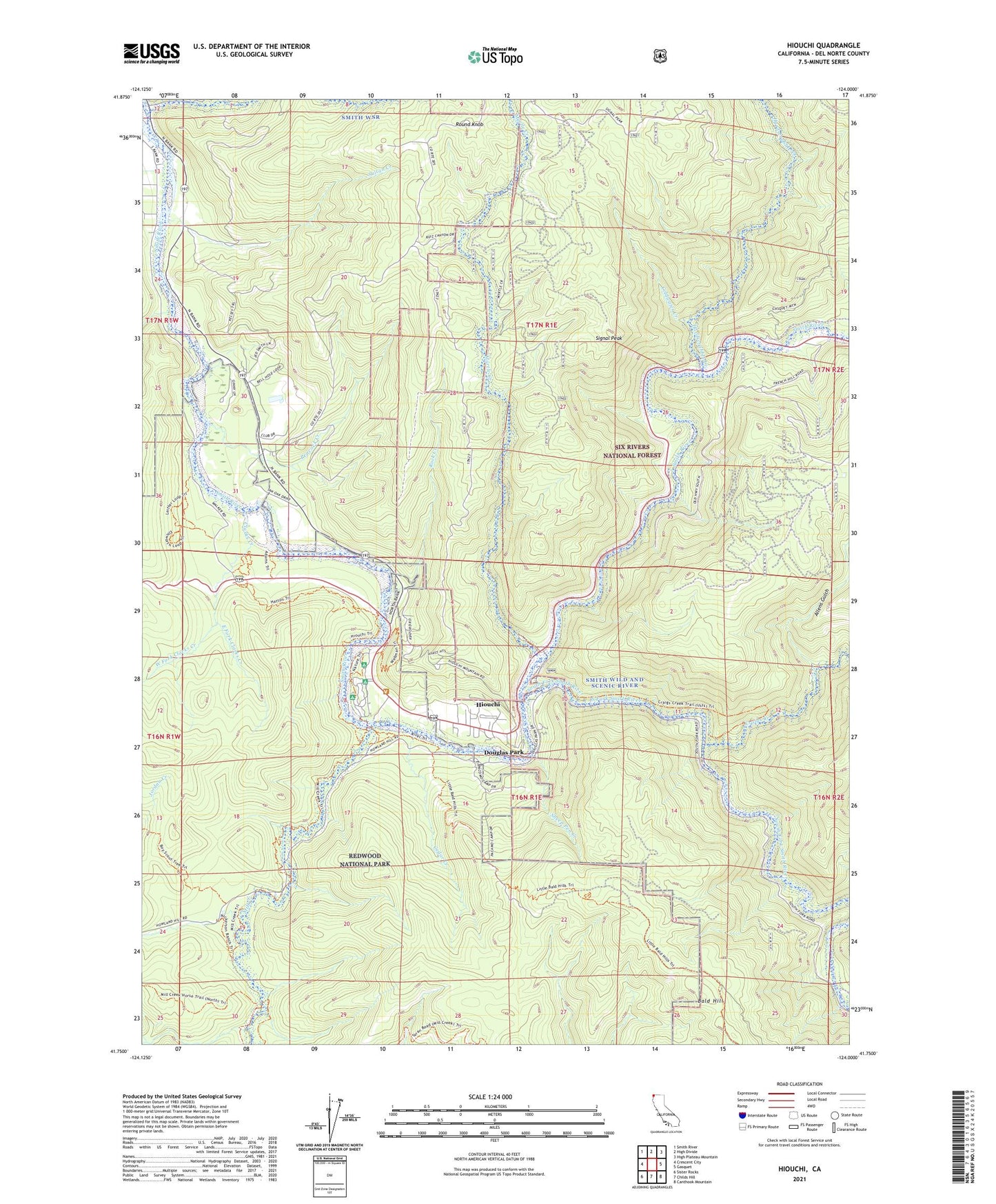
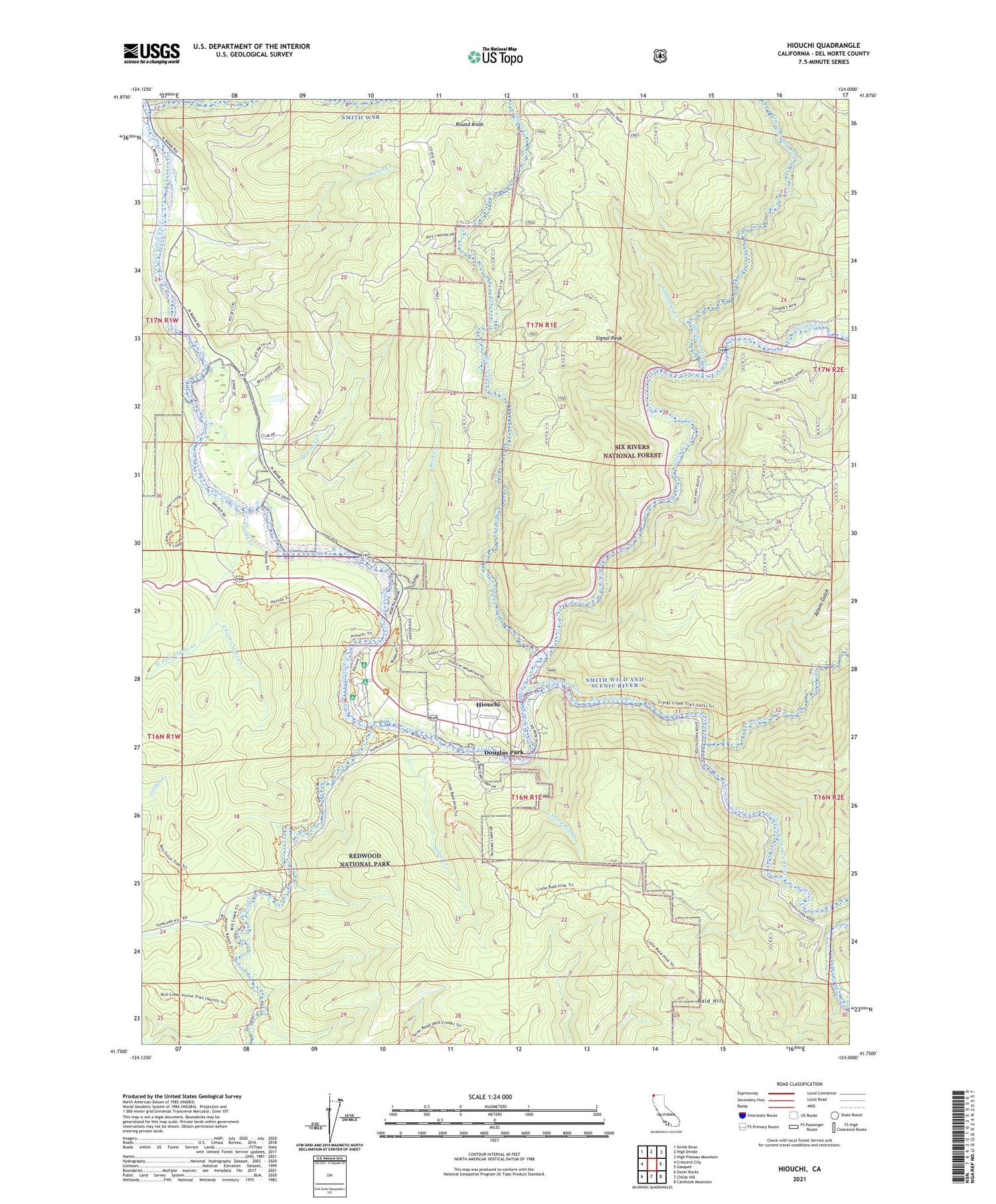
Hiouchi California US Topo Map
Couldn't load pickup availability
Also explore the Hiouchi Forest Service Topo of this same quad for updated USFS data
2021 topographic map quadrangle Hiouchi in the state of California. Scale: 1:24000. Based on the newly updated USGS 7.5' US Topo map series, this map is in the following counties: Del Norte. The map contains contour data, water features, and other items you are used to seeing on USGS maps, but also has updated roads and other features. This is the next generation of topographic maps. Printed on high-quality waterproof paper with UV fade-resistant inks.
Quads adjacent to this one:
West: Crescent City
Northwest: Smith River
North: High Divide
Northeast: High Plateau Mountain
East: Gasquet
Southeast: Canthook Mountain
South: Childs Hill
Southwest: Sister Rocks
This map covers the same area as the classic USGS quad with code o41124g1.
Contains the following named places: Allens Gulch, Bald Hill, Cedar Creek, Clarks Creek, Coldwater Creek, Craigs Creek, Daughters of the American Revolution Grove, Del Norte Golf Course, Douglas Park, East Fork Clarks Creek, Ferrel Grove, Hardscrabble Creek, Hiouchi, Hiouchi Bridge, Hiouchi Census Designated Place, Hiouchi Information Center, Hiouchi School, Jedediah Smith Campground, Jedediah Smith Redwoods State Park, Krause Grove North, Lind Mine, Little Mill Creek, Mill Creek, Myrtle Creek, Nickerson Ranch, Peacock Creek, Peacocks Ferry, Redwood Heritage State Wilderness, Rock Creek, Round Knob, Sheep Pen Creek, Signal Peak, South Fork Smith River, Stout Grove, Sultan Creek, Wellman Grove, West Fork Clarks Creek, ZIP Code: 95531