MyTopo
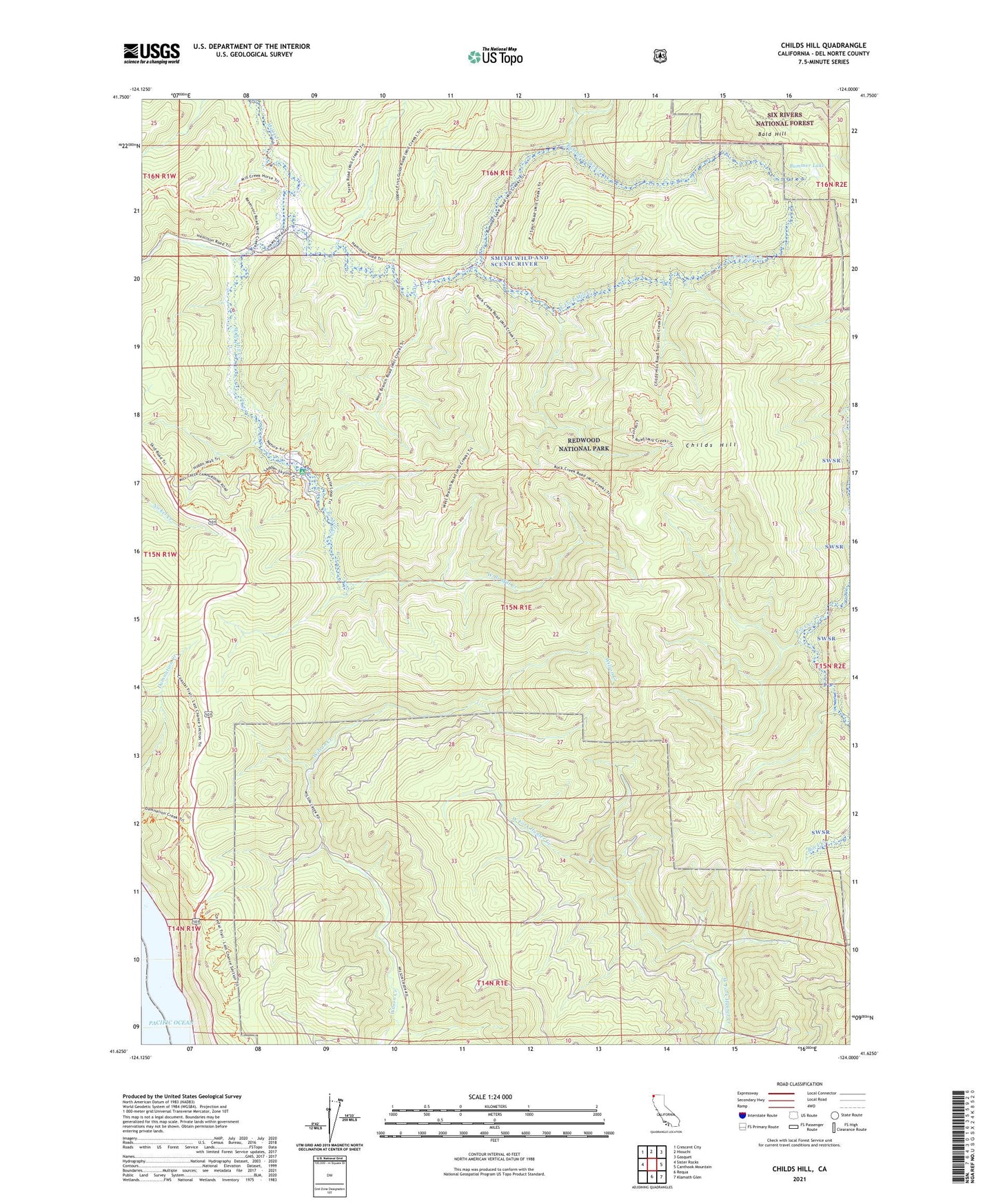
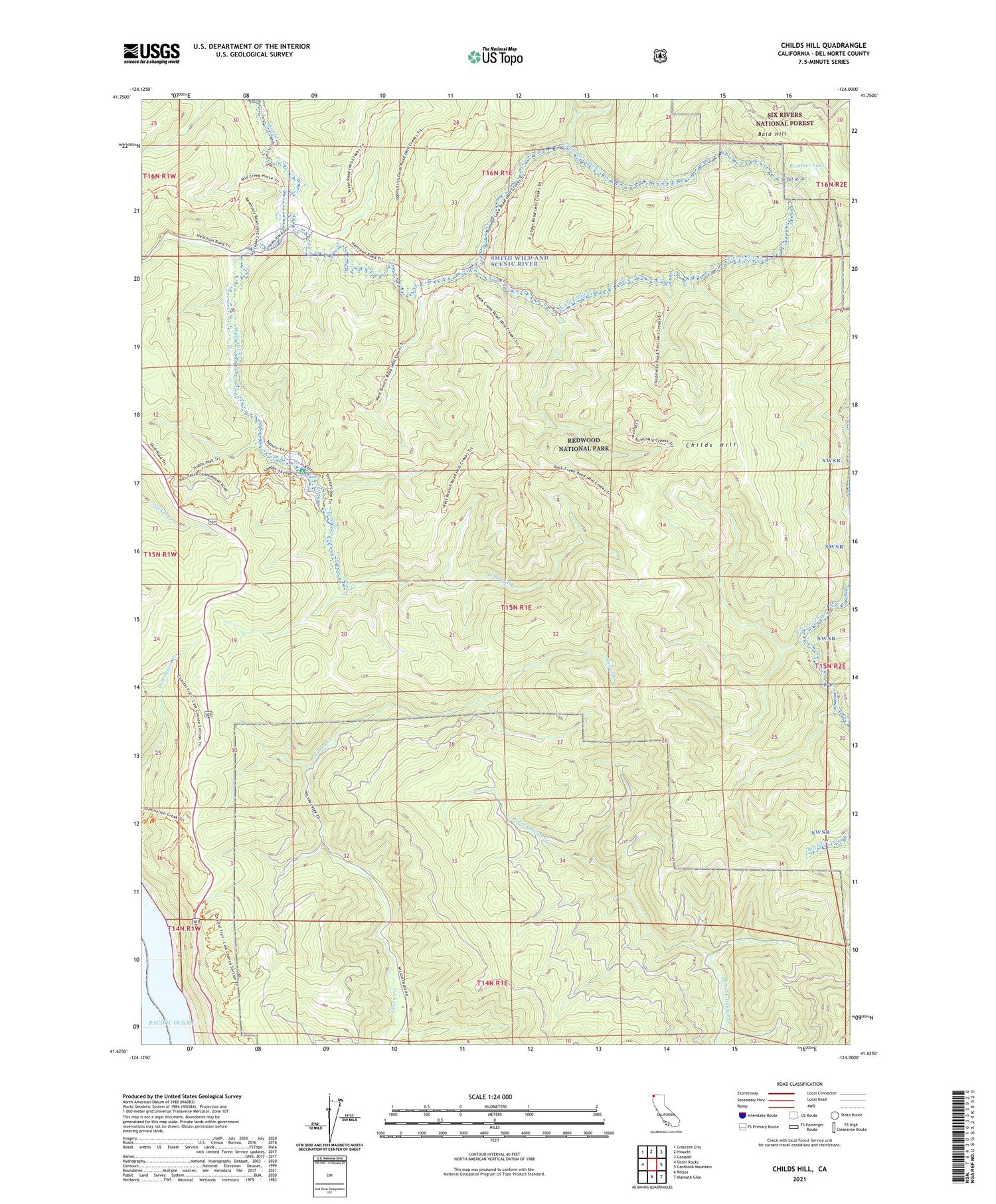
Childs Hill California US Topo Map
Couldn't load pickup availability
Also explore the Childs Hill Forest Service Topo of this same quad for updated USFS data
2021 topographic map quadrangle Childs Hill in the state of California. Scale: 1:24000. Based on the newly updated USGS 7.5' US Topo map series, this map is in the following counties: Del Norte. The map contains contour data, water features, and other items you are used to seeing on USGS maps, but also has updated roads and other features. This is the next generation of topographic maps. Printed on high-quality waterproof paper with UV fade-resistant inks.
Quads adjacent to this one:
West: Sister Rocks
Northwest: Crescent City
North: Hiouchi
Northeast: Gasquet
East: Canthook Mountain
Southeast: Klamath Glen
South: Requa
This map covers the same area as the classic USGS quad with code o41124f1.
Contains the following named places: Bummer Lake, Bummer Lake Creek, Childs Hill, Del Norte Coast Redwoods State Park, East Fork Mill Creek, Mill Creek Recreation Site, Red Alder Campground, West Branch Mill Creek