MyTopo
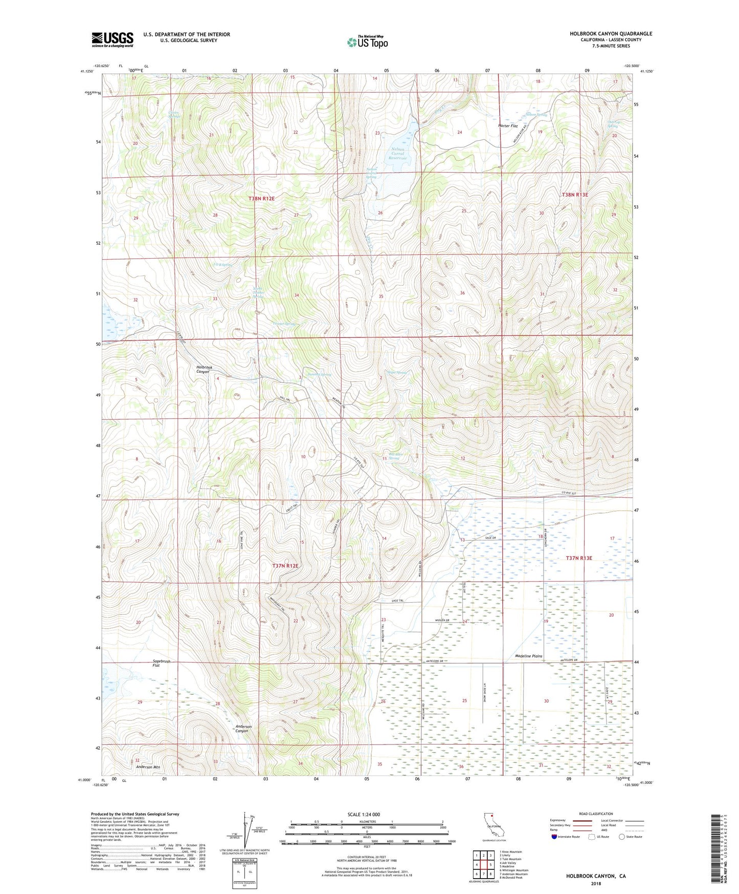
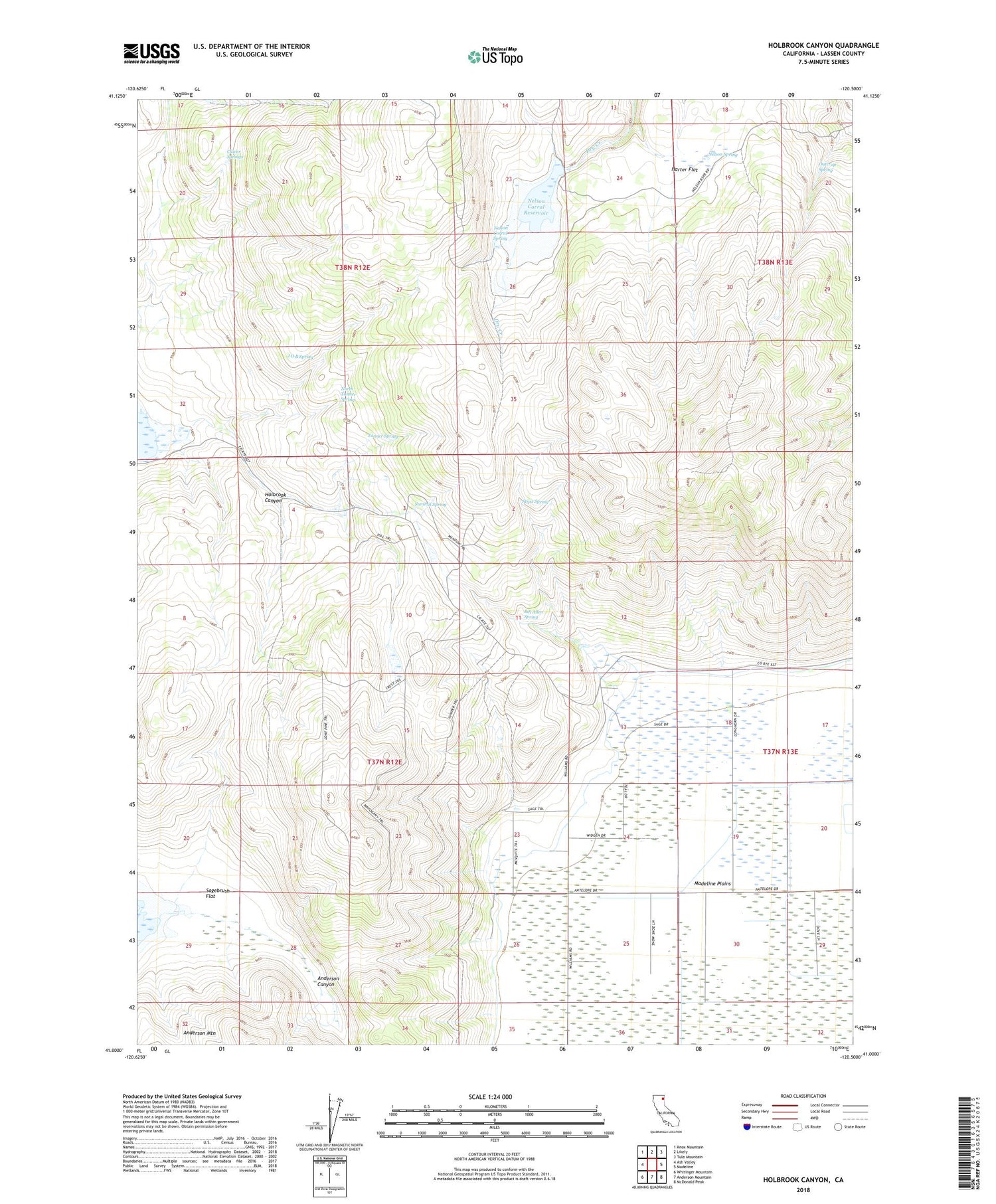
Holbrook Canyon California US Topo Map
Couldn't load pickup availability
2021 topographic map quadrangle Holbrook Canyon in the state of California. Scale: 1:24000. Based on the newly updated USGS 7.5' US Topo map series, this map is in the following counties: Lassen. The map contains contour data, water features, and other items you are used to seeing on USGS maps, but also has updated roads and other features. This is the next generation of topographic maps. Printed on high-quality waterproof paper with UV fade-resistant inks.
Quads adjacent to this one:
West: Ash Valley
Northwest: Knox Mountain
North: Likely
Northeast: Tule Mountain
East: Madeline
Southeast: McDonald Peak
South: Anderson Mountain
Southwest: Whitinger Mountain
This map covers the same area as the classic USGS quad with code o41120a5.
Contains the following named places: Bill Allen Spring, Clover Springs, Harter Flat, J O B Spring, Nelson Corral Reservoir, Nelson Corral Spring, Nelson Spring, North Tanner Spring, Outcrop Spring, Sagebrush Flat, Stipa Spring, Summit Spring, Tanner Spring, Williams Ranch, ZIP Code: 96119