MyTopo
Howard Ranch California US Topo Map
Couldn't load pickup availability
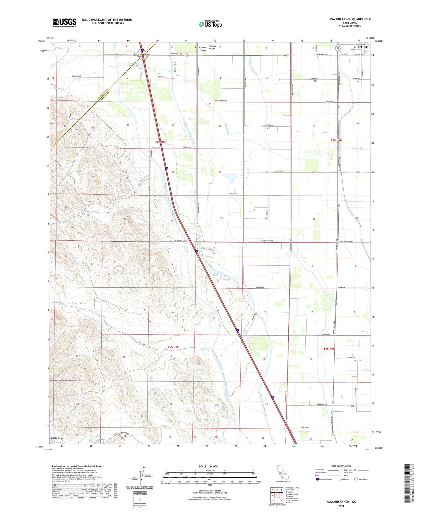
2021 topographic map quadrangle Howard Ranch in the state of California. Scale: 1:24000. Based on the newly updated USGS 7.5' US Topo map series, this map is in the following counties: Merced, Stanislaus. The map contains contour data, water features, and other items you are used to seeing on USGS maps, but also has updated roads and other features. This is the next generation of topographic maps. Printed on high-quality waterproof paper with UV fade-resistant inks.
Quads adjacent to this one:
West: Crevison Peak
Northwest: Orestimba Peak
North: Newman
Northeast: Gustine
East: Ingomar
Southeast: Volta
South: San Luis Dam
Southwest: Pacheco Pass
This map covers the same area as the classic USGS quad with code o37121b1.
Contains the following named places: Cottonwood Church, Cottonwood School, Delta-Mendota Canal, Howard Ranch, Mustang Creek, Occidental School, Quinto Creek, Romero School, Whitney Canyon, ZIP Code: 95322