
MyTopo
Ivanpah Lake California US Topo Map
Couldn't load pickup availability
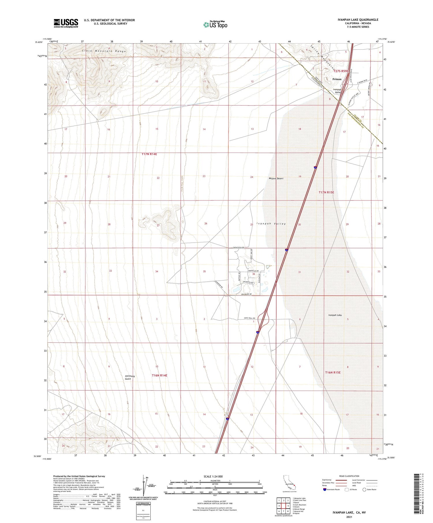
2021 topographic map quadrangle Ivanpah Lake in the states of California, Nevada. Scale: 1:24000. Based on the newly updated USGS 7.5' US Topo map series, this map is in the following counties: San Bernardino, Clark. The map contains contour data, water features, and other items you are used to seeing on USGS maps, but also has updated roads and other features. This is the next generation of topographic maps. Printed on high-quality waterproof paper with UV fade-resistant inks.
Quads adjacent to this one:
West: Clark Mountain
Northwest: Mesquite Lake
North: State Line Pass
Northeast: Roach
East: Desert
Southeast: Nipton
South: Mineral Hill
Southwest: Mescal Range
Contains the following named places: Antimony Gulch, Ivanpah, Ivanpah Lake, Nevada Inn, Primm, Umberci Mine, Yates Well


