MyTopo
Jenny Lind California US Topo Map
Couldn't load pickup availability
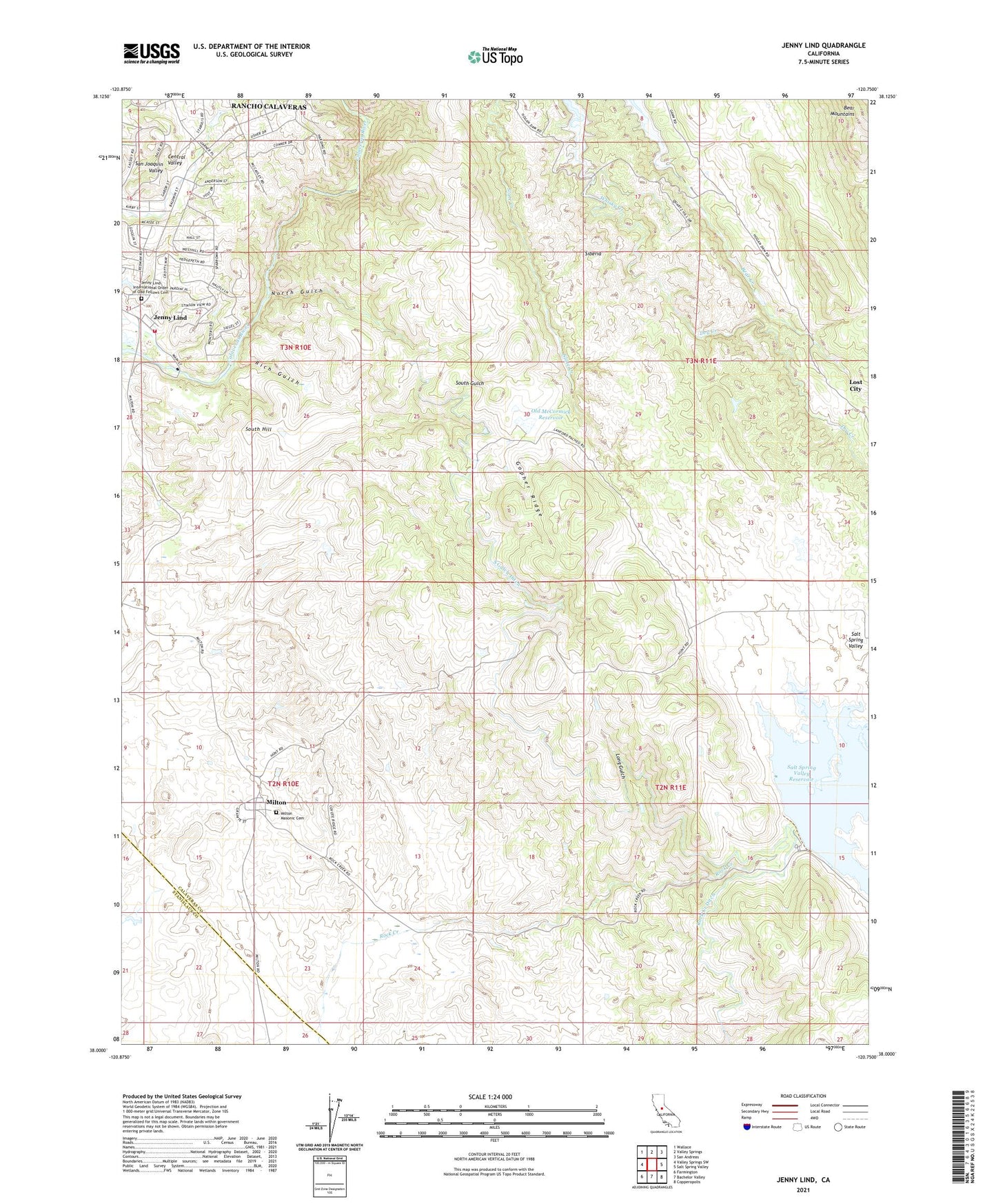
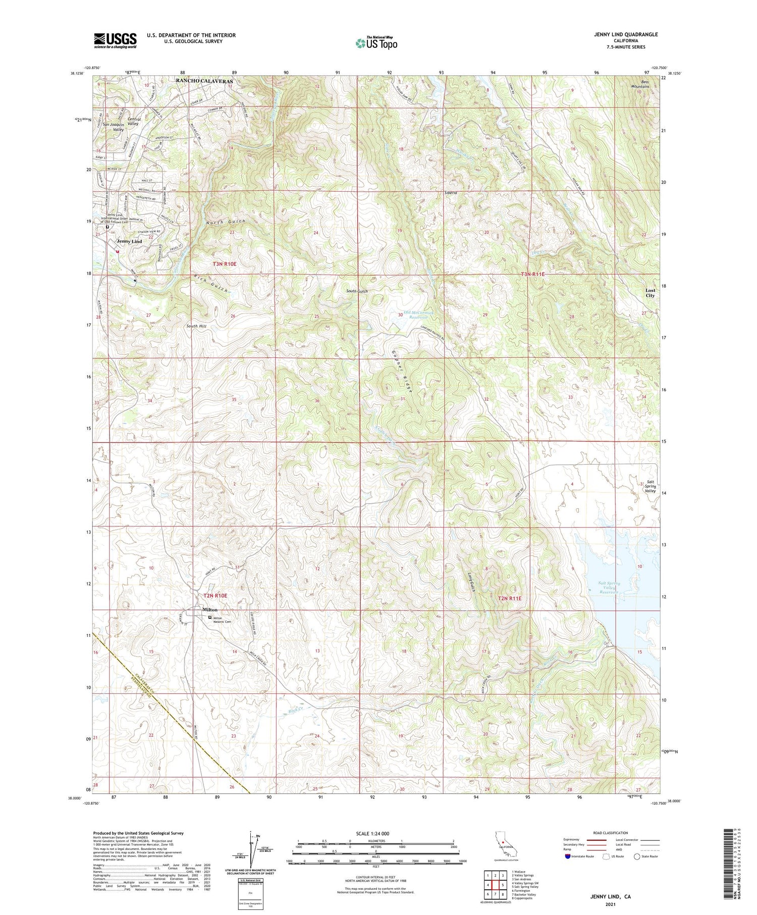
2021 topographic map quadrangle Jenny Lind in the state of California. Scale: 1:24000. Based on the newly updated USGS 7.5' US Topo map series, this map is in the following counties: Calaveras, Stanislaus. The map contains contour data, water features, and other items you are used to seeing on USGS maps, but also has updated roads and other features. This is the next generation of topographic maps. Printed on high-quality waterproof paper with UV fade-resistant inks.
Quads adjacent to this one:
West: Valley Springs SW
Northwest: Wallace
North: Valley Springs
Northeast: San Andreas
East: Salt Spring Valley
Southeast: Copperopolis
South: Bachelor Valley
Southwest: Farmington
This map covers the same area as the classic USGS quad with code o38120a7.
Contains the following named places: Dry Creek, Gann Ranch, Gopher Ridge, Jenny Lind, Jenny Lind Fire Protection District Station 3, Jenny Lind International Order of Odd Fellows Cemetery, Jenny Lind State Historic Landmark, Long Gulch, McCarty Mine, Milton, Milton Masonic Cemetery, North Gulch, Old McCormick Reservoir, Plymouth Rock Mine, Rancho Calaveras Census Designated Place, Rich Gulch, Rock Creek Ditch, Salt Spring Valley Reservoir, Salt Springs Valley 496 Dam, Scenic Valley Ranchos, Siberia, South Gulch Ditch, South Hill, Tower Ranch