MyTopo
Salt Spring Valley California US Topo Map
Couldn't load pickup availability
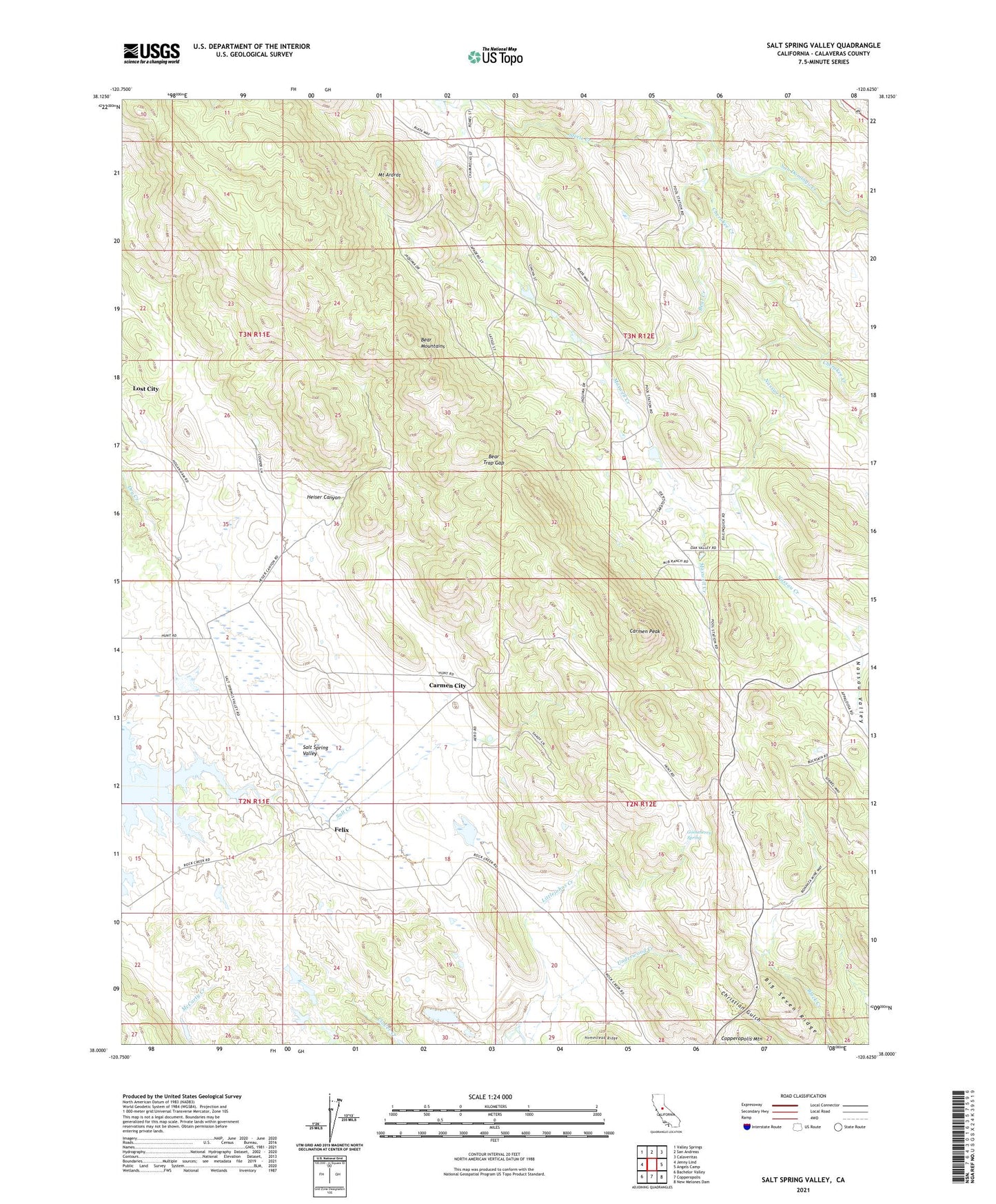
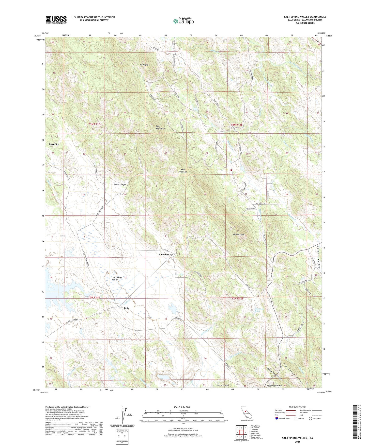
2021 topographic map quadrangle Salt Spring Valley in the state of California. Scale: 1:24000. Based on the newly updated USGS 7.5' US Topo map series, this map is in the following counties: Calaveras. The map contains contour data, water features, and other items you are used to seeing on USGS maps, but also has updated roads and other features. This is the next generation of topographic maps. Printed on high-quality waterproof paper with UV fade-resistant inks.
Quads adjacent to this one:
West: Jenny Lind
Northwest: Valley Springs
North: San Andreas
Northeast: Calaveritas
East: Angels Camp
Southeast: New Melones Dam
South: Copperopolis
Southwest: Bachelor Valley
This map covers the same area as the classic USGS quad with code o38120a6.
Contains the following named places: Bar XX Ranch, Bear Creek, Bear Mountain Ranch, Bear Mountains, Bear Trap Gap, Bernascon Ranch, Big Seven Mine, Big Seven Ridge, Carmen City, Carmen Peak, Cherokee Creek, Circle XX Ranch, Copperopolis Fire Protection District Station 3, Elkhorn Station, Felix, Gooseberry Spring, Heiser Canyon, Inks Ranch, KCSO-TV (Modesto), Kuhn Ranch, Lost City, Maxwell Creek, McCarty 500 Dam, McCarty Ranch, Mount Ararat, Mountain King Mine, Nassau Creek, Nassau Valley, Pools Station, Red House Ranch, Royal Mine, Salt Creek, Salt Spring Valley, Salt Spring Valley School, San Domingo Creek, Steele Creek, Thorpe Prospect, Tower Ranch, Waterman Creek, ZIP Code: 95222


