MyTopo
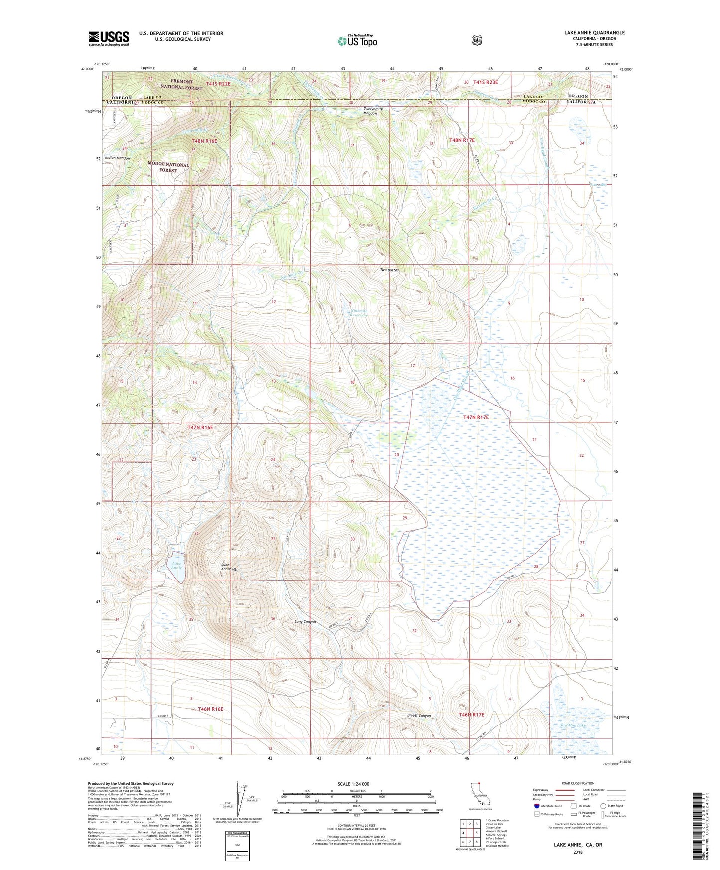
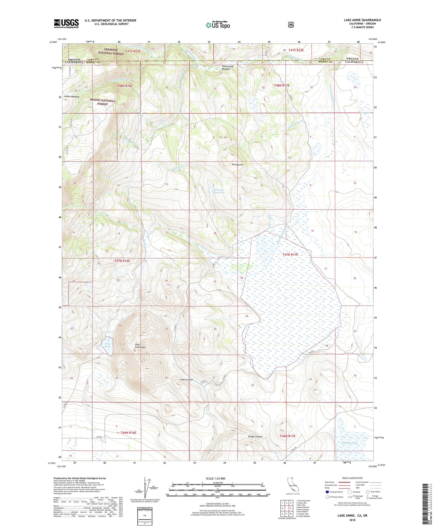
Lake Annie California US Topo Map
Couldn't load pickup availability
Also explore the Lake Annie Forest Service Topo of this same quad for updated USFS data
2022 topographic map quadrangle Lake Annie in the states of California, Oregon. Scale: 1:24000. Based on the newly updated USGS 7.5' US Topo map series, this map is in the following counties: Modoc, Lake. The map contains contour data, water features, and other items you are used to seeing on USGS maps, but also has updated roads and other features. This is the next generation of topographic maps. Printed on high-quality waterproof paper with UV fade-resistant inks.
Quads adjacent to this one:
West: Mount Bidwell
Northwest: Crane Mountain
North: Collins Rim
Northeast: May Lake
East: Barrel Springs
Southeast: Crooks Meadow
South: Larkspur Hills
Southwest: Fort Bidwell
Contains the following named places: Briggs Canyon, Cow Head Lake, Cow Head Slough, Eightmile Creek, Elevenmile Creek, Fifteenmile Creek, Lake Annie, Lake Annie Mountain, Ninemile Creek, Ninemile Reservoir, North Fork Twelvemile Creek, Peterson Ditch, Scammons Arrowhead Ranch, Schadler 1122 Dam, Schadler Ditch, Schadler Reservoir, Tenmile Creek, Twelvemile Meadow, Twin Lakes, Two Buttes