MyTopo
Larkspur Hills California US Topo Map
Couldn't load pickup availability
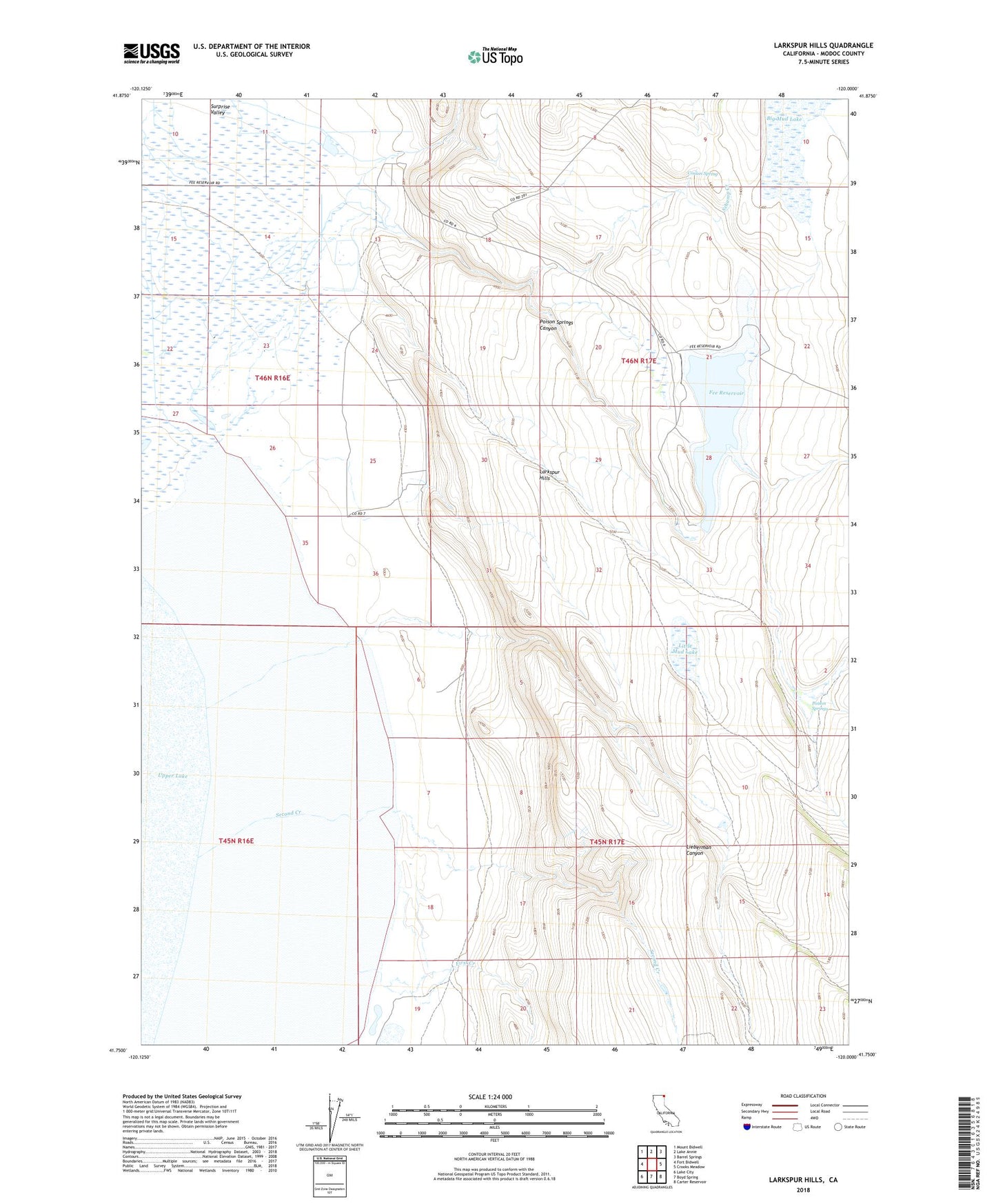
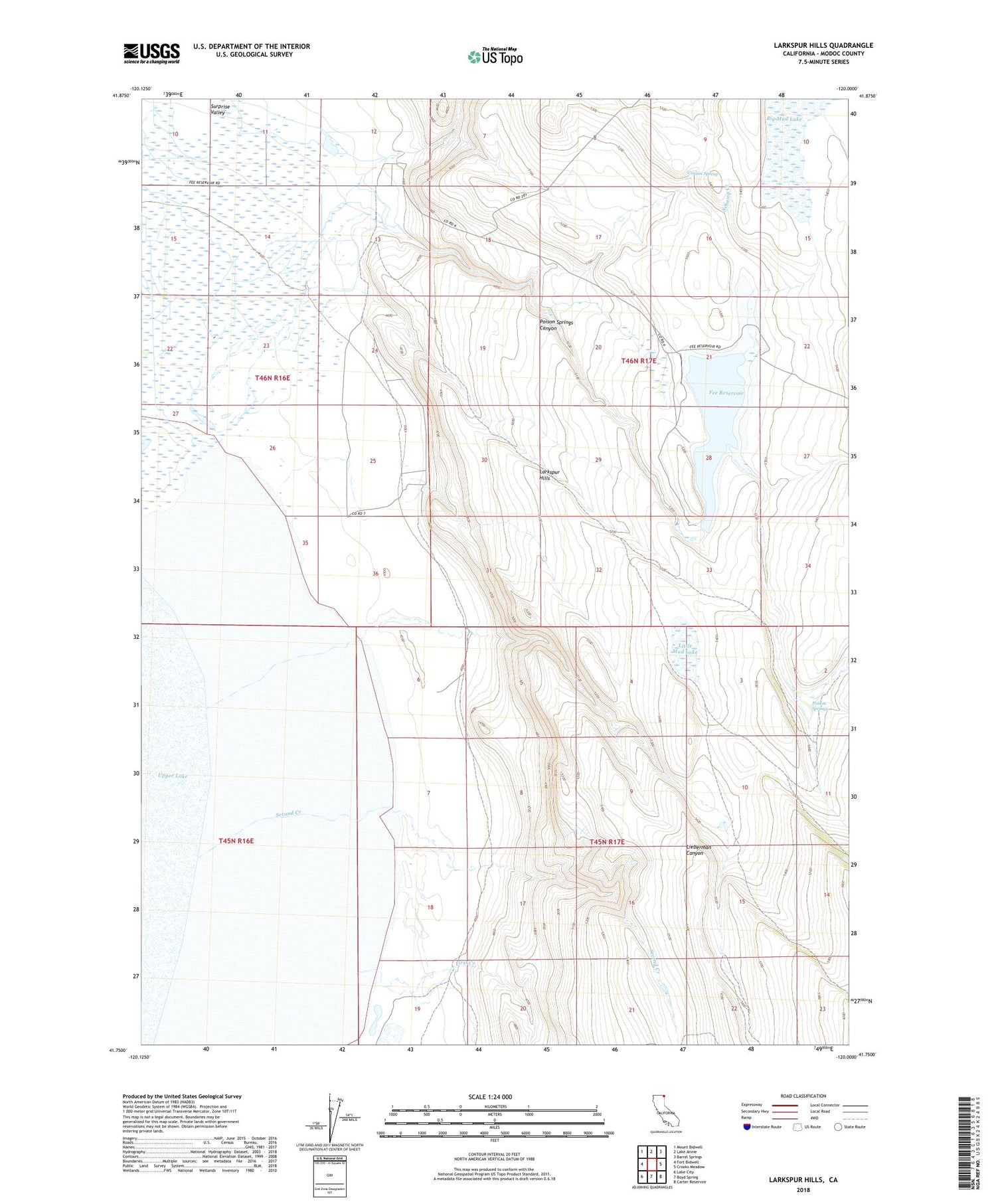
2021 topographic map quadrangle Larkspur Hills in the state of California. Scale: 1:24000. Based on the newly updated USGS 7.5' US Topo map series, this map is in the following counties: Modoc. The map contains contour data, water features, and other items you are used to seeing on USGS maps, but also has updated roads and other features. This is the next generation of topographic maps. Printed on high-quality waterproof paper with UV fade-resistant inks.
Quads adjacent to this one:
West: Fort Bidwell
Northwest: Mount Bidwell
North: Lake Annie
Northeast: Barrel Springs
East: Crooks Meadow
Southeast: Carter Reservoir
South: Boyd Spring
Southwest: Lake City
This map covers the same area as the classic USGS quad with code o41120g1.
Contains the following named places: Big Mud Lake, Conlan Spring, Fee Reservoir, First Creek, Larkspur Hills, Lieberman Canyon, Little Mud Lake, Long Canyon, Poison Springs, Poison Springs 1113 Dam, Poison Springs Canyon, Schamp Creek, Second Creek, ZIP Code: 96112