
MyTopo
Mallo Pass Creek California US Topo Map
Couldn't load pickup availability
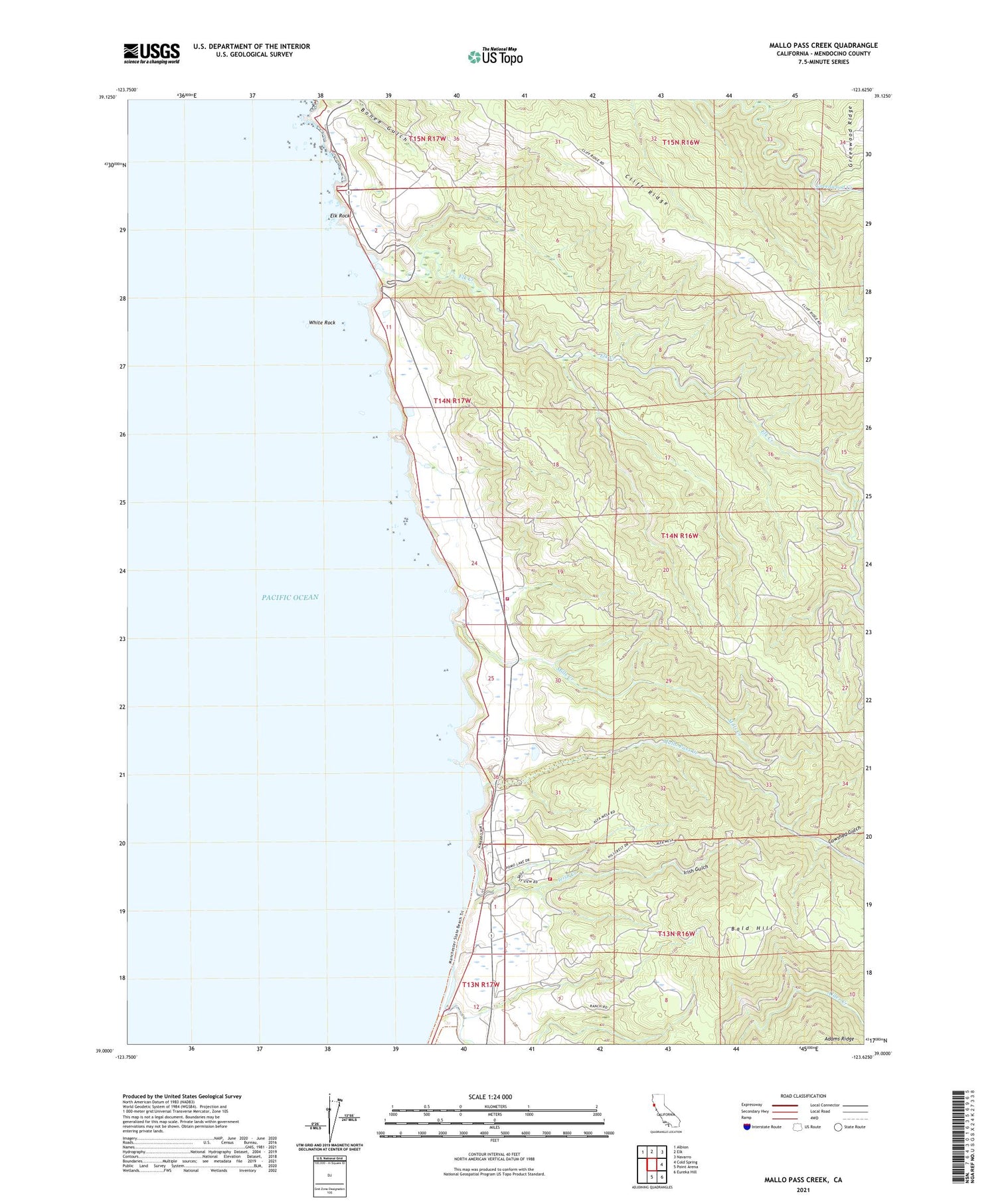
2021 topographic map quadrangle Mallo Pass Creek in the state of California. Scale: 1:24000. Based on the newly updated USGS 7.5' US Topo map series, this map is in the following counties: Mendocino. The map contains contour data, water features, and other items you are used to seeing on USGS maps, but also has updated roads and other features. This is the next generation of topographic maps. Printed on high-quality waterproof paper with UV fade-resistant inks.
Quads adjacent to this one:
Northwest: Albion
North: Elk
Northeast: Navarro
East: Cold Spring
Southeast: Eureka Hill
South: Point Arena
This map covers the same area as the classic USGS quad with code o39123a6.
Contains the following named places: Alder Creek, Bald Hill, Bridgeport Landing, Bridgeport School, Christiansen Ranch, Cowshed Gulch, Elk Creek, Elk Rock, Elk Volunteer Fire Department Station 714, Galletti Ranch, Irish Beach Water District Volunteer Fire Department, Irish Creek, Irish Gulch, Mallo Pass Creek, Mills Creek, San Andreas Rift Zone, White Rock, ZIP Code: 95432


