MyTopo
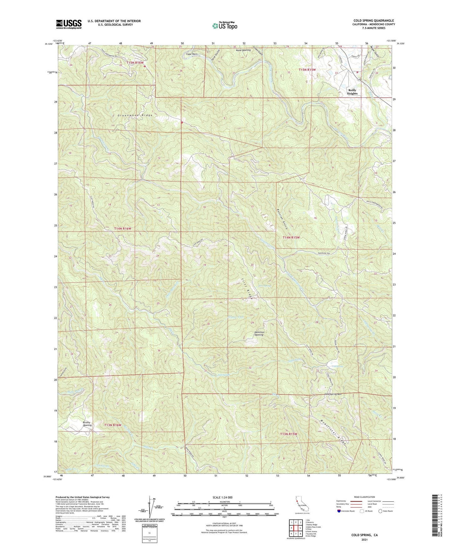
Cold Spring California US Topo Map
Couldn't load pickup availability
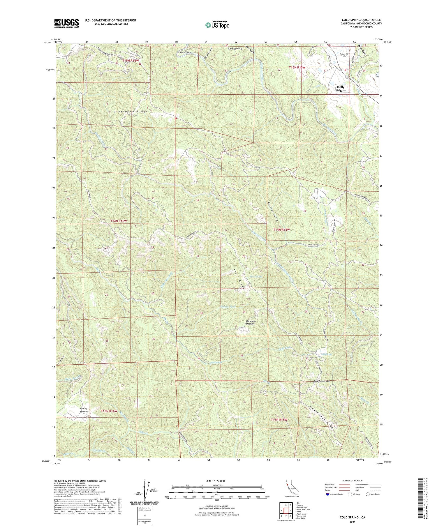
2021 topographic map quadrangle Cold Spring in the state of California. Scale: 1:24000. Based on the newly updated USGS 7.5' US Topo map series, this map is in the following counties: Mendocino. The map contains contour data, water features, and other items you are used to seeing on USGS maps, but also has updated roads and other features. This is the next generation of topographic maps. Printed on high-quality waterproof paper with UV fade-resistant inks.
Quads adjacent to this one:
West: Mallo Pass Creek
Northwest: Elk
North: Navarro
Northeast: Bailey Ridge
East: Philo
Southeast: Zeni Ridge
South: Eureka Hill
Southwest: Point Arena
Contains the following named places: Anderson Ranch, Anderson Valley Volunteer Fire Department Station 747, Anderson Valley Volunteer Fire Station, Bee Tree Creek, Berry Ranch, Brushy Opening, Cape Horn, Cliff Ridge, Cold Spring, Cold Spring Mountain, Cold Springs Fire Lookout, Colson Gulch, Elk Volunteer Fire Department Station 712, Fair Hills Ranch, Fashauer Ranch, Floodgate Creek, Greenwood Ridge, Hamilton Opening, John Creek, Kane Opening, KZYX-FM (Philo), Lazy Creek, McAllister Ranch, McAllister Ridge, Meyer Gulch, Mill Creek, Nye Creek, Reilly Heights, Reilly Heights Guest Ranch, Russian Gulch, Signal School, Skid Gulch, Soda Fork, Soda Spring, South Fork Greenwood Creek, Sulphur Fork, Three Springs, Three Springs Creek, Tin Can Creek, Valenti Ranch, ZIP Code: 95466


