MyTopo
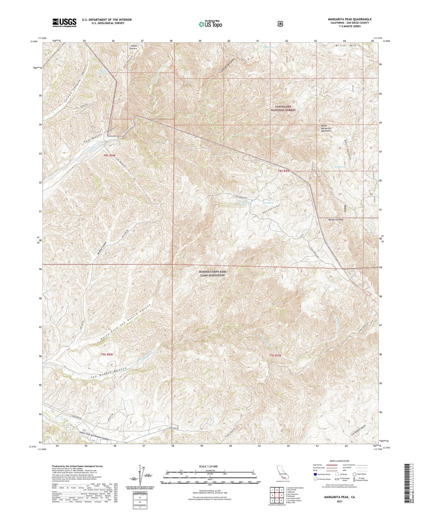
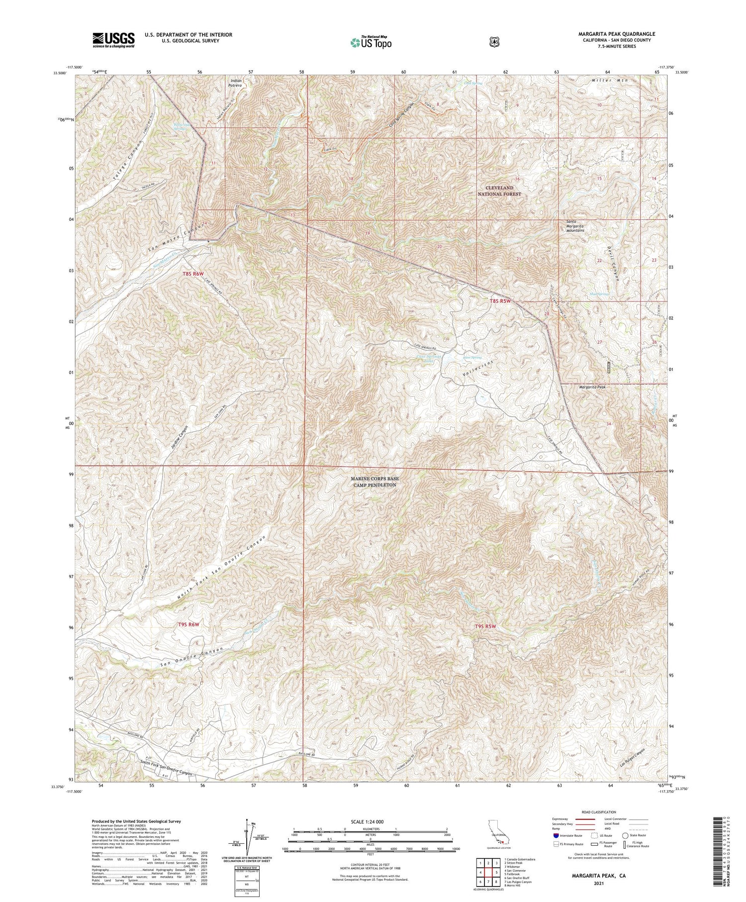
Margarita Peak California US Topo Map
Couldn't load pickup availability
Also explore the Margarita Peak Forest Service Topo of this same quad for updated USFS data
2021 topographic map quadrangle Margarita Peak in the state of California. Scale: 1:24000. Based on the newly updated USGS 7.5' US Topo map series, this map is in the following counties: San Diego. The map contains contour data, water features, and other items you are used to seeing on USGS maps, but also has updated roads and other features. This is the next generation of topographic maps. Printed on high-quality waterproof paper with UV fade-resistant inks.
Quads adjacent to this one:
West: San Clemente
Northwest: Canada Gobernadora
North: Sitton Peak
Northeast: Wildomar
East: Fallbrook
Southeast: Morro Hill
South: Las Pulgas Canyon
Southwest: San Onofre Bluff
This map covers the same area as the classic USGS quad with code o33117d4.
Contains the following named places: Case Spring, Case Springs Dam, Case Springs Lake, Clark Trail, Cold Spring, Cold Spring Canyon, Devil Canyon, Horno Summit, Jardine Canyon, Margarita Lookout Tower, Margarita Peak, Mud Springs, North Fork San Onofre Canyon, Santa Margarita Mountains, Vallecitos, White Oak Springs, ZIP Code: 92055