MyTopo
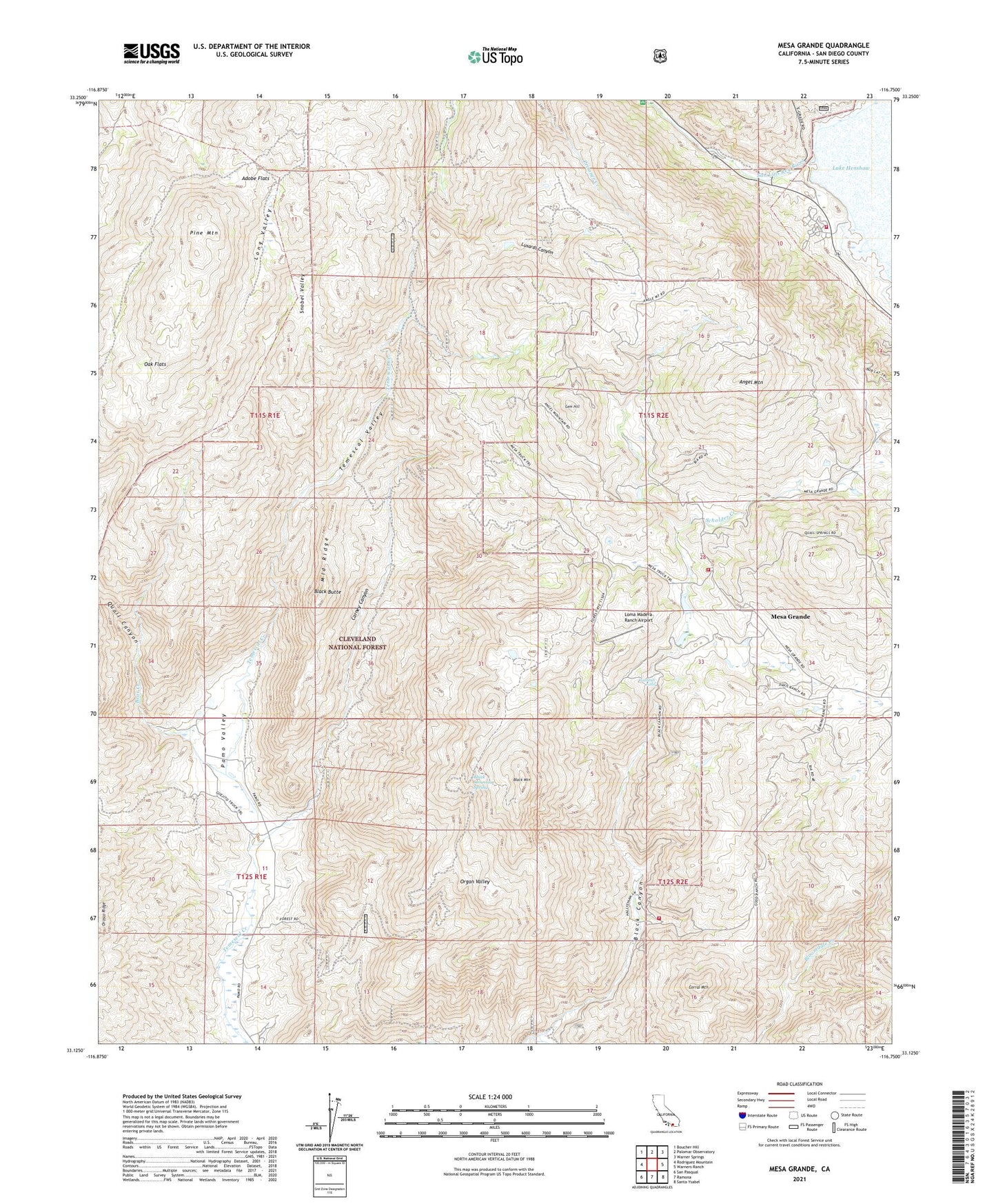
Mesa Grande California US Topo Map
Couldn't load pickup availability
Also explore the Mesa Grande Forest Service Topo of this same quad for updated USFS data
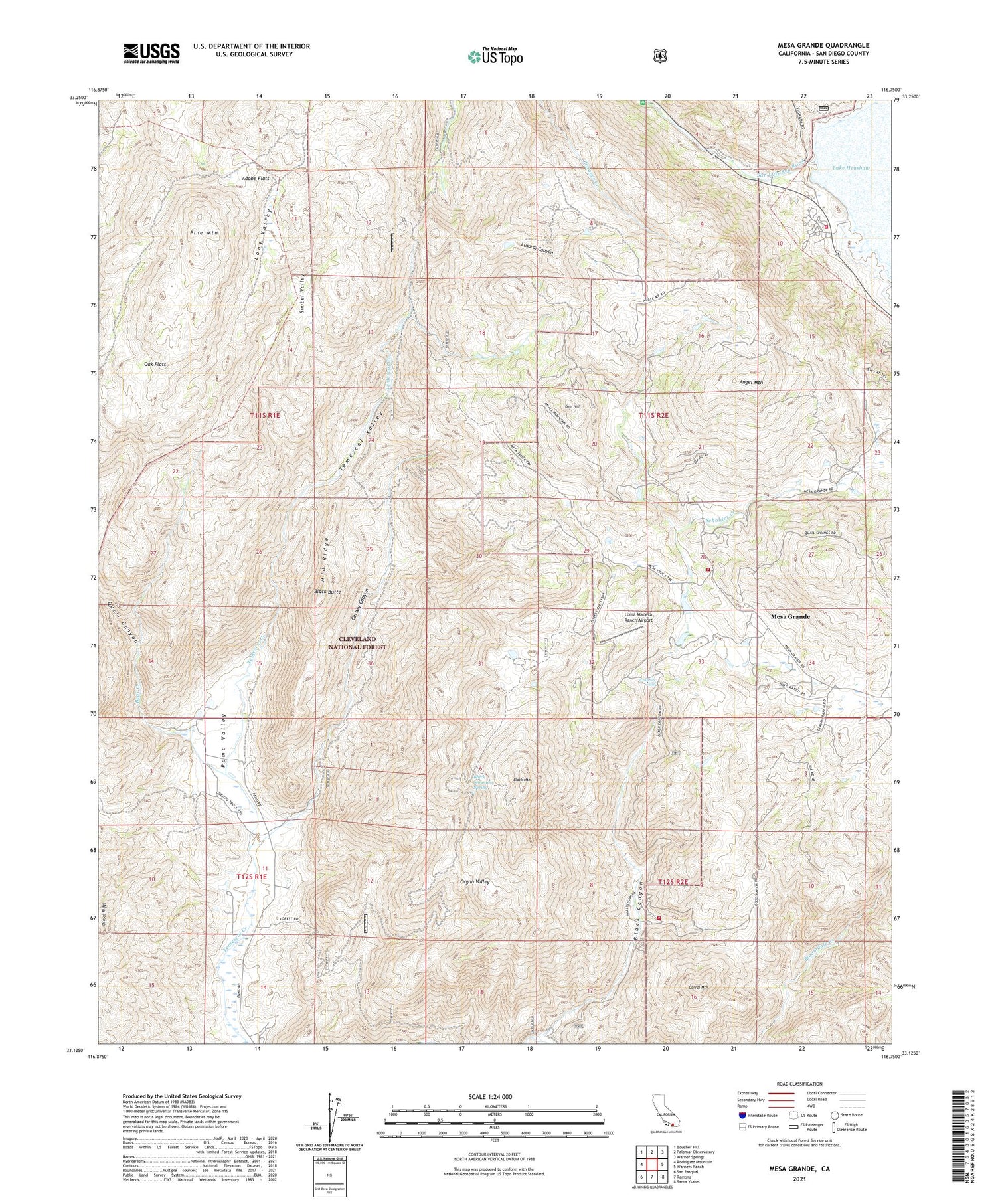
2021 topographic map quadrangle Mesa Grande in the state of California. Scale: 1:24000. Based on the newly updated USGS 7.5' US Topo map series, this map is in the following counties: San Diego. The map contains contour data, water features, and other items you are used to seeing on USGS maps, but also has updated roads and other features. This is the next generation of topographic maps. Printed on high-quality waterproof paper with UV fade-resistant inks.
Quads adjacent to this one:
West: Rodriguez Mountain
Northwest: Boucher Hill
North: Palomar Observatory
Northeast: Warner Springs
East: Warners Ranch
Southeast: Santa Ysabel
South: Ramona
Southwest: San Pasqual
This map covers the same area as the classic USGS quad with code o33116b7.
Contains the following named places: Adobe Flats, Almond Ranch, Angel Mountain, Bear Creek, Black Butte, Black Canyon, Black Canyon Campground, Black Mountain, Black Mountain Spring, Black Mountain Truck Trail, Carney Canyon, Corral Mountain, Esmeralda Mine, Gem Hill, Guejito Truck Trail, Henshaw 69-002 Dam, Henshaw Fire Station, Henshaw Work Center, Himalaya Mine, Lake Henshaw, Loma Madera Ranch Airport, Long Valley, Lusardi Truck Trail, Mesa Grande, Mesa Grande Fire Department, Mesa Grande School, Mesa Grande Truck Trail, Middle Ridge, Oak Flats, Organ Valley, Patton Lode Mine, Pine Mountain, Quail Canyon, Rose Quartz Mine, San Diego Mine, Scholder Creek, Shenandoah Mine, Snobel Valley, Temescal Valley, Washtub Falls


