MyTopo
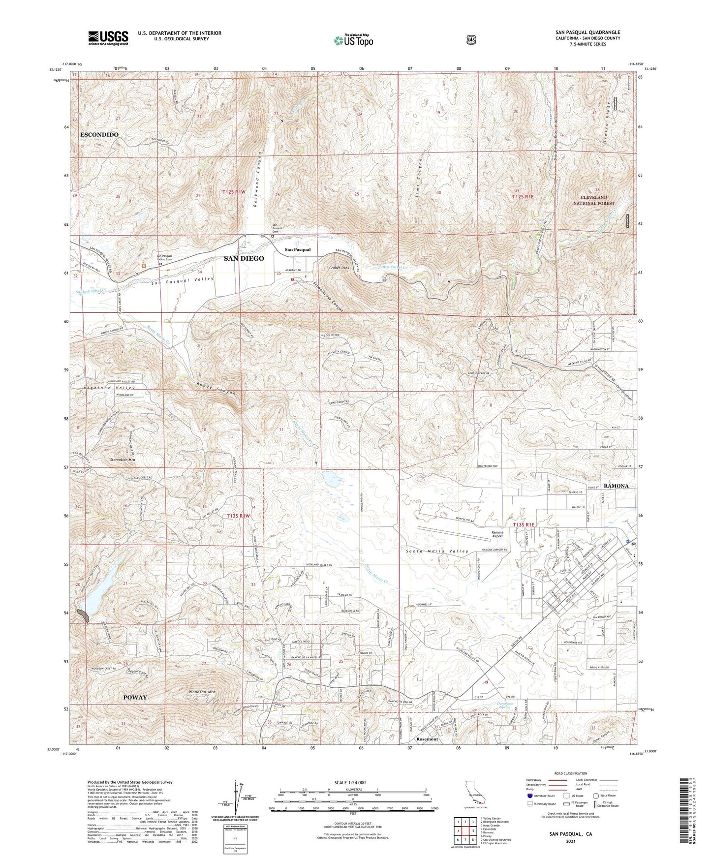
San Pasqual California US Topo Map
Couldn't load pickup availability
Also explore the San Pasqual Forest Service Topo of this same quad for updated USFS data
2021 topographic map quadrangle San Pasqual in the state of California. Scale: 1:24000. Based on the newly updated USGS 7.5' US Topo map series, this map is in the following counties: San Diego. The map contains contour data, water features, and other items you are used to seeing on USGS maps, but also has updated roads and other features. This is the next generation of topographic maps. Printed on high-quality waterproof paper with UV fade-resistant inks.
Quads adjacent to this one:
West: Escondido
Northwest: Valley Center
North: Rodriguez Mountain
Northeast: Mesa Grande
East: Ramona
Southeast: El Cajon Mountain
South: San Vicente Reservoir
Southwest: Poway
This map covers the same area as the classic USGS quad with code o33116a8.
Contains the following named places: Bandy Canyon, Boden Canyon, CAL FIRE Ramona Fire Station 82, Clevenger Canyon, Cranes Peak, Durasnitos Spring, Fenton Ranch, First Christian Church of Ramona, Green Valley Truck Trail, Guejito Creek, Hanson Lane Elementary School, Hope Vineyard Christian Fellowship Church, Mount Woodson 1044 Dam, Mount Woodson Country Club, Mount Woodson Elementary School, New Life Assembly Church, Ramona Air Attack Base, Ramona Airport, Ramona Census Designated Place, Ramona Guard Station, Ramona Heli-Tack, Ramona Post Office, Ramona United Methodist Church, Rockwood Canyon, Rosemont, San Diego County Sheriff's Office Romona Substation, San Diego Wild Animal Park, San Pasqual, San Pasqual Academy, San Pasqual Battlefield State Historic Park, San Pasqual Cemetery, San Pasqual Fire Department, San Pasqual Indian Cemetery, San Pasqual Union School, Santa Maria Valley, Schoolhouse Canyon, Shopping Arena Shopping Center, Starvation Mountain, Tims Canyon, Valle De Pamo or Santa Maria, Woodson Mountain, Woodson Mountain Lookout