MyTopo
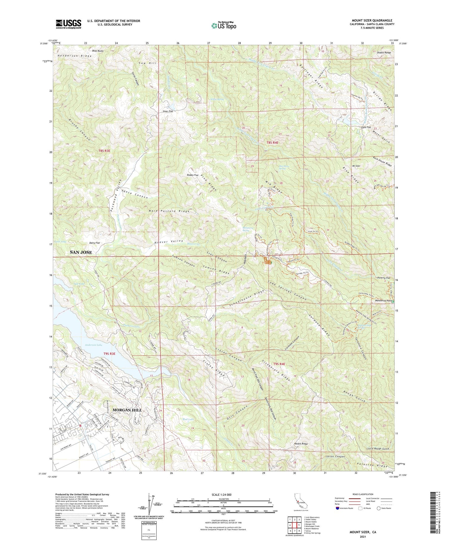
Mount Sizer California US Topo Map
Couldn't load pickup availability
2021 topographic map quadrangle Mount Sizer in the state of California. Scale: 1:24000. Based on the newly updated USGS 7.5' US Topo map series, this map is in the following counties: Santa Clara. The map contains contour data, water features, and other items you are used to seeing on USGS maps, but also has updated roads and other features. This is the next generation of topographic maps. Printed on high-quality waterproof paper with UV fade-resistant inks.
Quads adjacent to this one:
West: Morgan Hill
Northwest: Lick Observatory
North: Isabel Valley
Northeast: Mount Stakes
East: Mississippi Creek
Southeast: Gilroy Hot Springs
South: Gilroy
Southwest: Mount Madonna
This map covers the same area as the classic USGS quad with code o37121b5.
Contains the following named places: Anderson Lake, Blackberry Spring, Blue Ridge, Blue Rocks, Brushy Canyon, Clarks Canyon, Cochrane Bridge, Coe Ranch, Cold Flat, Cordoza Canyon, Cordoza Ridge, Dairy Flat, Deer Horn Spring, Diablo Range Division, Divide Ridge, Finley Ridge, Fitzgerald Ridge, Henry W. Coe State Park, Hogsback, Holiday Lake Golf Course, Hoover Creek, Hoover Valley, Jackson Academy of Math and Music, Jackson Oaks Park, KSJI-AM (San Martin), KSQQ-FM (Morgan Hill), Laurel Spring Club 1624 Dam, Laurel Springs Club, Little Coyote Creek, Lone Lake, Los Huecos Ranch, Madrone Soda Springs, Manzanita Point, Mare Pasture Ridge, Middle Ridge, Morgan Hill Fire Department Dunne Hill Fire Station, Mount Sizer, Mud Lake, Nesbit Ridge, North Fork Otis Canyon, Oak Flat Ranch, Otis Canyon, Packwood Creek, Packwood Valley, Palassou Ridge, Pedrizetti Winery, Pine Ridge, Poverty Flat, Rock House Ridge, Rodeo Flat, Samson Canyon, Samson Ridge, Schoolhouse Ridge, Sizer Flat, South Fork Otis Canyon, Star Canyon, Sulphur Creek, Sycamore Canyon, Tule Lake, Turnbull Learning Academy, Vance Canyon, Willow Spring, ZIP Code: 95037


