MyTopo
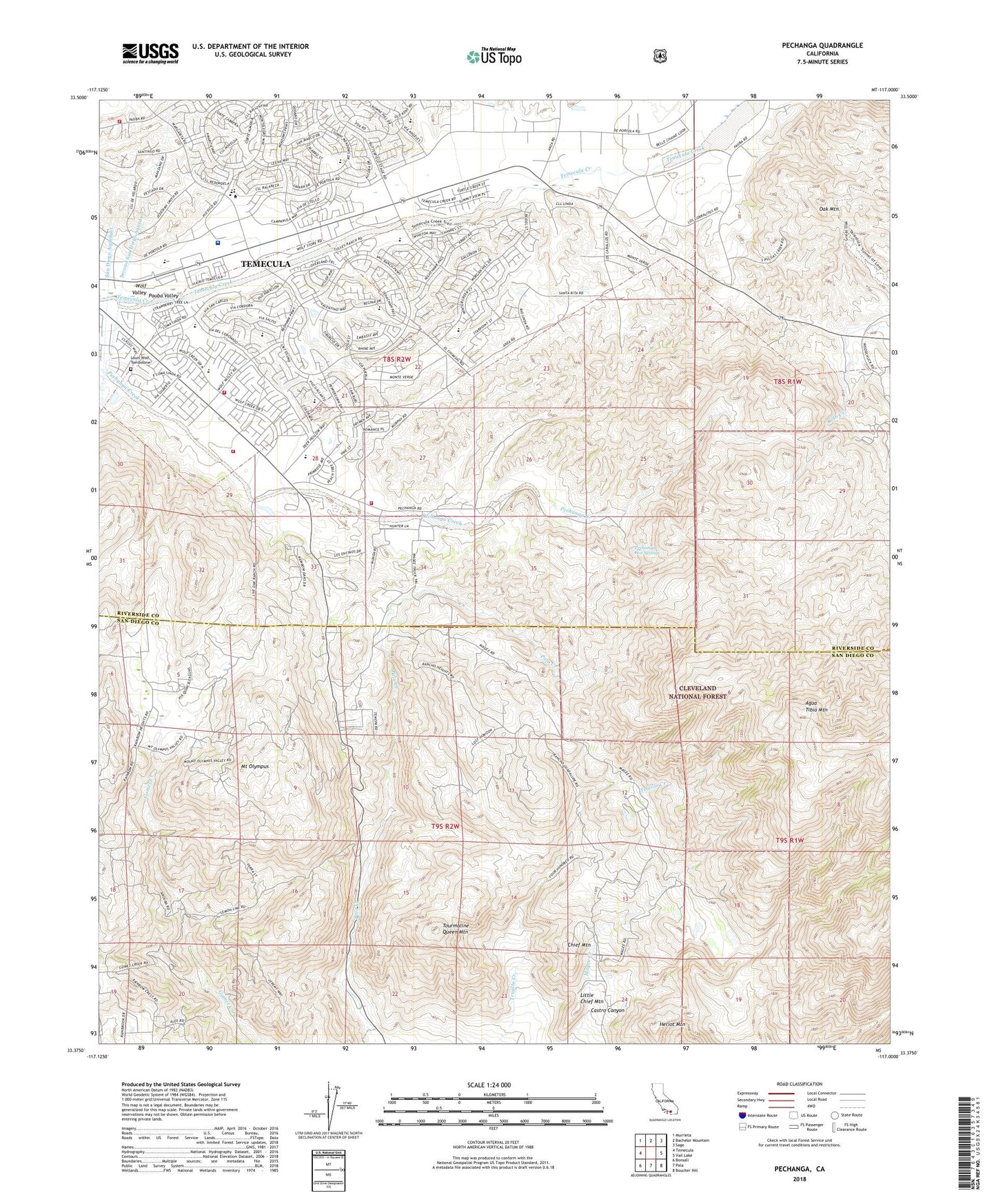
Pechanga California US Topo Map
Couldn't load pickup availability
Also explore the Pechanga Forest Service Topo of this same quad for updated USFS data
2022 topographic map quadrangle Pechanga in the state of California. Scale: 1:24000. Based on the newly updated USGS 7.5' US Topo map series, this map is in the following counties: Riverside, San Diego. The map contains contour data, water features, and other items you are used to seeing on USGS maps, but also has updated roads and other features. This is the next generation of topographic maps. Printed on high-quality waterproof paper with UV fade-resistant inks.
Quads adjacent to this one:
West: Temecula
Northwest: Murrieta
North: Bachelor Mountain
Northeast: Sage
East: Vail Lake
Southeast: Boucher Hill
South: Pala
Southwest: Bonsall
This map covers the same area as the classic USGS quad with code o33117d1.
Contains the following named places: Castro Canyon, Chief Mountain, Colina Vista, Country Manor Estates, Emerson Wildlife Preserve, Galway Downs Equestrian Training Center, Heriot Mountain, Joan F Sparkman Elementary School, John Magee Park, Little Chief Mountain, Little Temecula, Louis Wolf Tombstone, Magee Trail, McGee Quarry, Mount Olympus, Oak Haven Estates, Oak Mountain, Pala Chief Mine, Paloma del Sol Park, Pauba Valley, Pechanga Fire Department Station 177, Pechanga Fire Department Station 2, Pechanga Hot Springs, Pechanga Reservation, Pechanga Tribal Park, Rainbow Canyon Village, Rainbow Conservation Camp, Red Hawk Elementary School, Red Hawk Golf Club, Riverside County Fire Department Station 84 Parkview, Riverside County Fire Department Station 92 - Wolf Creek, San Gabriel Church, Stewart Mine, Temecula Massacre Cemetery, Temecula Ranchos, Tourmaline King Mine, Tourmaline Queen Mine, Tourmaline Queen Mountain, White Cloud Mine, Wolf Valley, Yampa Ranch, ZIP Code: 92059