MyTopo
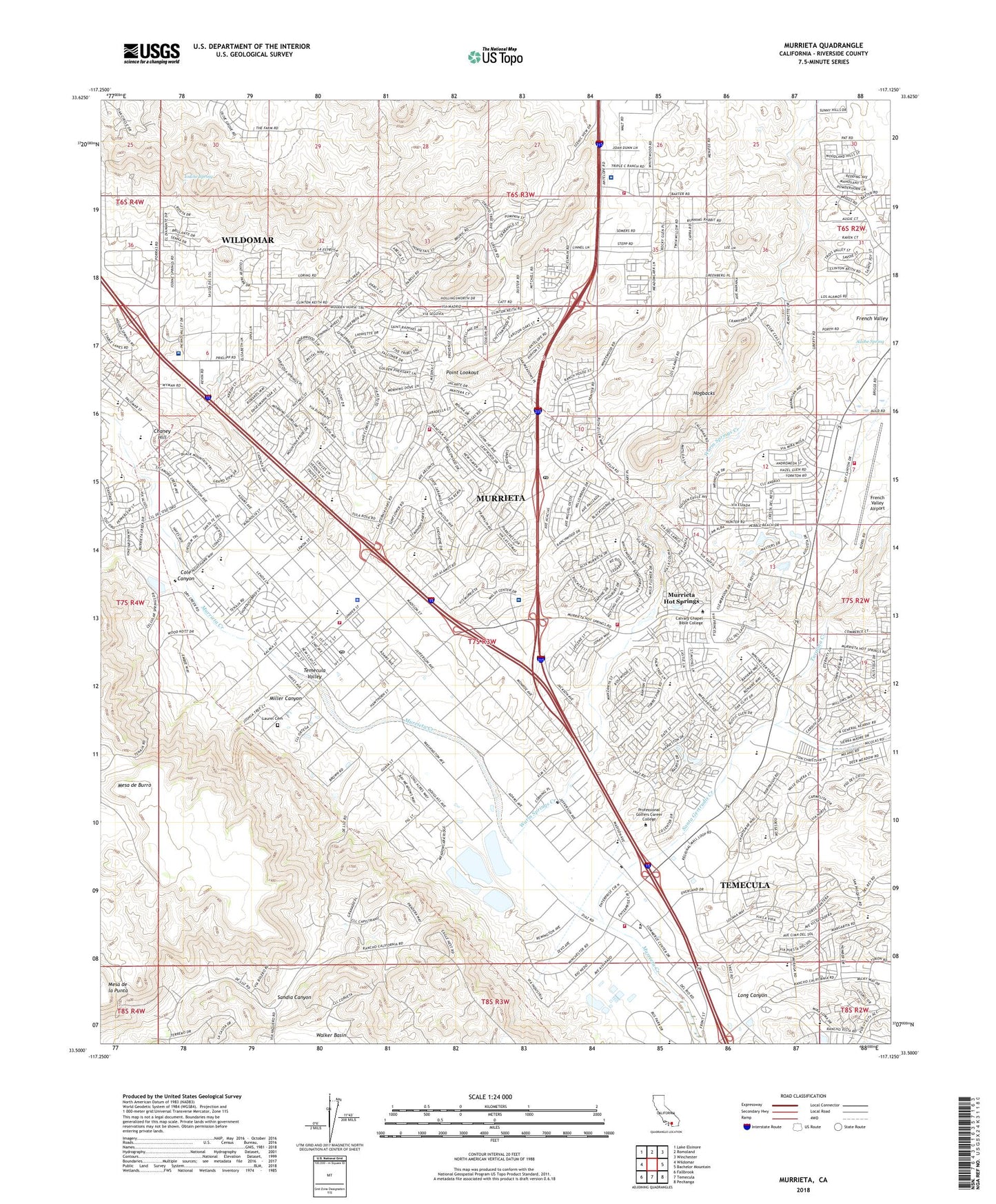
Murrieta California US Topo Map
Couldn't load pickup availability
2022 topographic map quadrangle Murrieta in the state of California. Scale: 1:24000. Based on the newly updated USGS 7.5' US Topo map series, this map is in the following counties: Riverside. The map contains contour data, water features, and other items you are used to seeing on USGS maps, but also has updated roads and other features. This is the next generation of topographic maps. Printed on high-quality waterproof paper with UV fade-resistant inks.
Quads adjacent to this one:
West: Wildomar
Northwest: Lake Elsinore
North: Romoland
Northeast: Winchester
East: Bachelor Mountain
Southeast: Pechanga
South: Temecula
Southwest: Fallbrook
This map covers the same area as the classic USGS quad with code o33117e2.
Contains the following named places: Adobe Spring, Alta Murrieta School, Alta Murrieta Sports Park, American Medical Response Murrieta, American Medical Response Murrieta Station 2, American Medical Response Temecula, American Medical Response Unit 302, Antelope Hills, Avaxat School, Bear Creek Airport, California Highway Patrol - Temecula, California Oaks Sports Park, Chaney Hill, City of Murrieta, Cole Canyon, Creekside High School, E Hale Curran Elementary School, French Valley, French Valley Airport, French Valley Vineyards, Hogbacks, Inland Valley Regional Medical Center, Inland Valley Regional Medical Center Heliport, Iodine Spring, KRTM-FM (Temecula), Las Brisas Christian Academy, Laurel Cemetery, Linda Rose, Loma Linda University Medical Center Murrieta, Long Canyon, Margarita Middle School, Meadow Ridge Park, Mesa de Burro, Miller Canyon, Mission Hills Mobile Home Park, Murrieta, Murrieta Carrier Annex Post Office, Murrieta Chamber of Commerce, Murrieta Christian School, Murrieta Elementary School, Murrieta Fire Department, Murrieta Fire Department Station 2, Murrieta Fire Department Station 3, Murrieta Fire Department Station 4, Murrieta Hot Springs, Murrieta Hot Springs Census Designated Place, Murrieta Police Department, Murrieta Post Office, Murrieta Town Center Shopping Center, Murrieta Town Hall, Murrieta Valley Christian Academy, Murrieta Valley High School, Oak Grove Center for Education Treatment and the Arts, Oak Springs Ranch, Old Adobe Plaza Shopping Center, Palm Plaza Shopping Center, Park E, Park F, Peoples Church of the Valley, Point Lookout, Pond Park, Professional Golfers Career College, Rail Ranch School, Rancho Acacias Park, Rancho California Country Club, Rancho California Plaza Shopping Center, Rancho Center Shopping Center, Rancho Springs Medical Center, Riverside County Fire Department Station 73 Rancho California, Riverside County Fire Department Station 83, Saint Thomas of Canterbury Episcopal Church, Santa Gertrudis Creek, Shivela Middle School, Sierra Springs Christian School, Sky Park Landing Field, Sunrise Community Church, Temecula Branch Riverside City and County Public Library, Temecula Hot Springs, Temecula Middle School, Temecula Police Department - Promenade Mall Storefront, Temecula Sports Park, The Colony Golf Course, Thompson Airstrip, Tovashal Elementary School, Tower Plaza Shopping Center, Tucalota Creek, United Church of the Valley, Vail Elementary School, Walt P Abraham County Administration Center, Warm Springs Creek, Warm Springs Mobile Home Park, Willowglen Park, Winchester Square Shopping Center, ZIP Code: 92563


