MyTopo
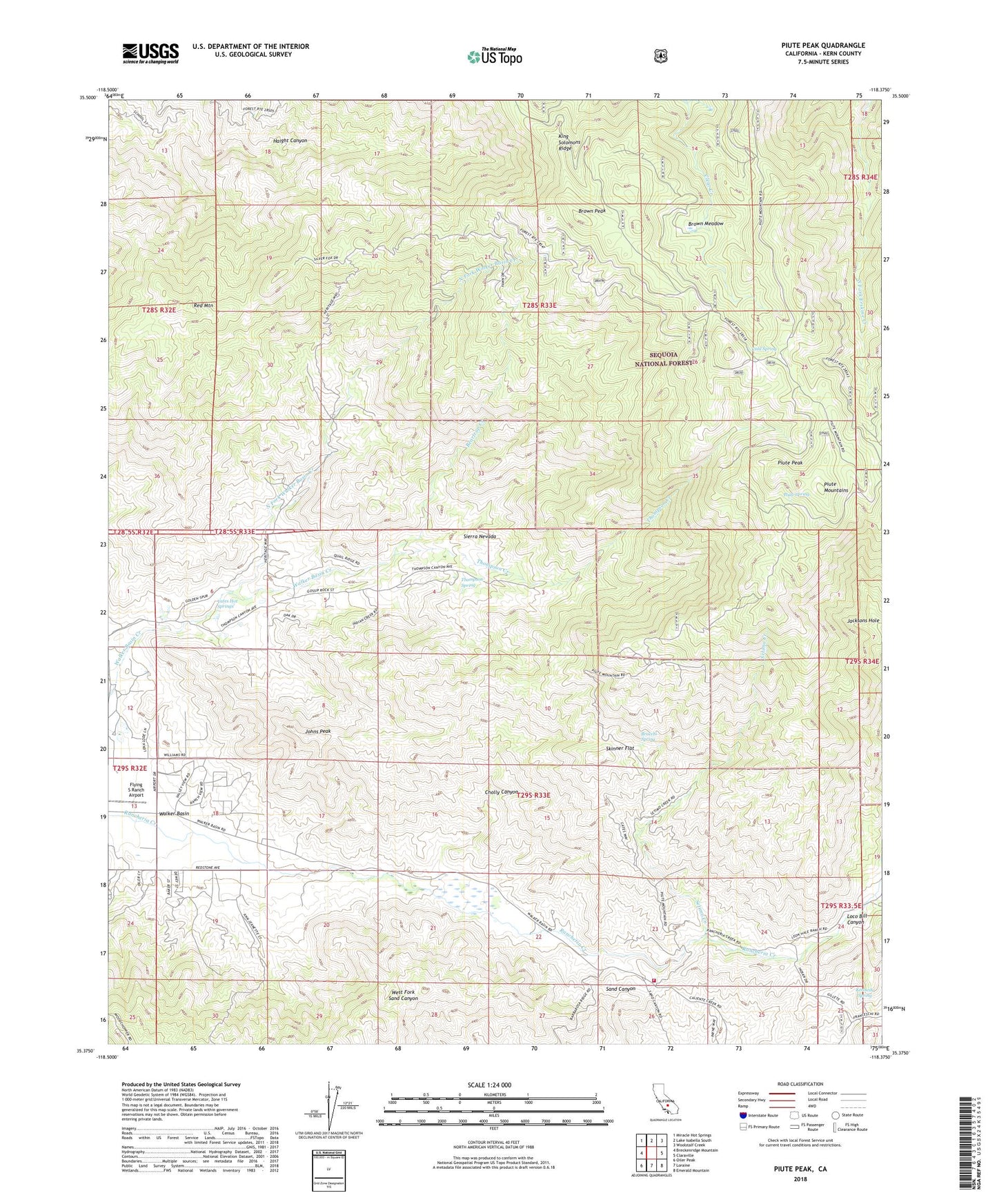
Piute Peak California US Topo Map
Couldn't load pickup availability
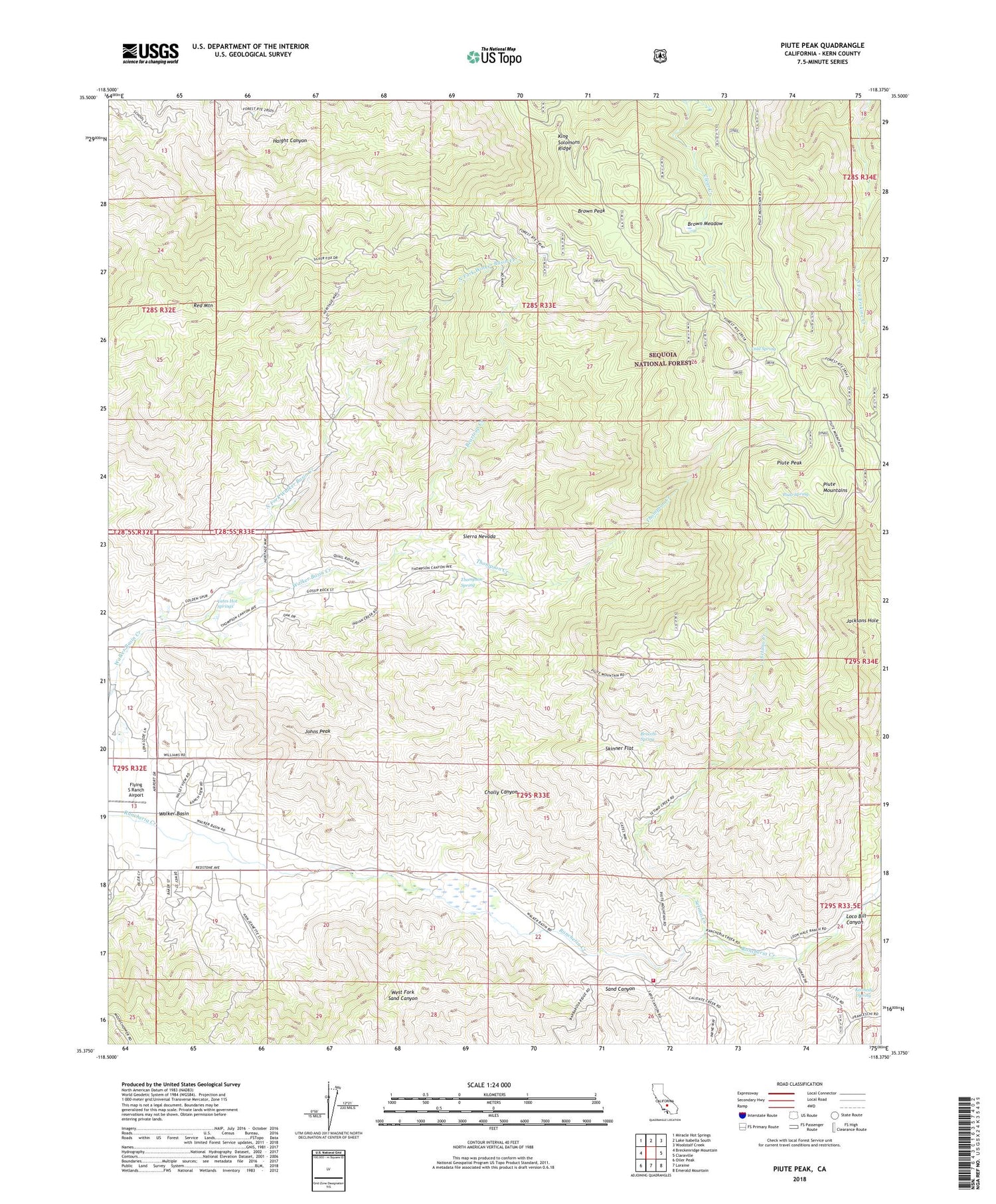
Also explore the Piute Peak Forest Service Topo of this same quad for updated USFS data
2021 topographic map quadrangle Piute Peak in the state of California. Scale: 1:24000. Based on the newly updated USGS 7.5' US Topo map series, this map is in the following counties: Kern. The map contains contour data, water features, and other items you are used to seeing on USGS maps, but also has updated roads and other features. This is the next generation of topographic maps. Printed on high-quality waterproof paper with UV fade-resistant inks.
Quads adjacent to this one:
West: Breckenridge Mountain
Northwest: Miracle Hot Springs
North: Lake Isabella South
Northeast: Woolstalf Creek
East: Claraville
Southeast: Emerald Mountain
South: Loraine
Southwest: Oiler Peak
This map covers the same area as the classic USGS quad with code o35118d4.
Contains the following named places: Beartrap Creek, Bluebird Mine, Bracchi Spring, Brown Meadow, Brown Peak, Burton Mill, Burton Mill Mine, Cannon Ranch, Cholly Canyon, Cold Spring, Horshoe Mine, Jacksons Hole, Joe Walker Mine, Johns Peak, Kennedy Spring, Kern County Fire Department Station 78 Piute, King Solomons Mine, King Solomons Ridge, Loco Bill Canyon, Mills Ranch, North Fork Walker Basin Creek, Piute, Piute Mountains, Piute Peak, Piute Spring, Red Mountain, Setimo Creek, Shadow Mountain Airstrip, Skinner Flat, Thompson Creek, Thompson Spring, Walser Ranch, Yates Hot Springs, ZIP Code: 93518