MyTopo
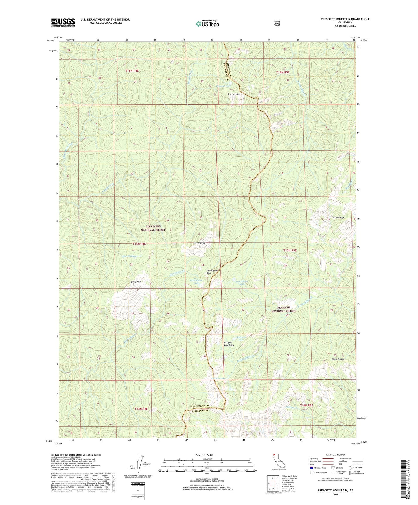
Prescott Mountain California US Topo Map
Couldn't load pickup availability
Also explore the Prescott Mountain Forest Service Topo of this same quad for updated USFS data
2022 topographic map quadrangle Prescott Mountain in the state of California. Scale: 1:24000. Based on the newly updated USGS 7.5' US Topo map series, this map is in the following counties: Del Norte, Siskiyou. The map contains contour data, water features, and other items you are used to seeing on USGS maps, but also has updated roads and other features. This is the next generation of topographic maps. Printed on high-quality waterproof paper with UV fade-resistant inks.
Quads adjacent to this one:
West: Ship Mountain
Northwest: Hurdygurdy Butte
North: Devils Punchbowl
Northeast: Preston Peak
East: Bear Peak
Southeast: Dillon Mountain
South: Chimney Rock
Southwest: Summit Valley
Contains the following named places: Baldy Peak, Bear Wallow Shelter, Bear Wallows, Clear Creek National Recreation Trail, Dillon Divide, Harrington Lake, Harrington Mountain, Herrington Ranch, Kelsey Range, Lost Spoon Lake, Prescott Lake, Prescott Mountain, Siskiyou Wilderness, Solitaire Lake, Stevens Mountain, Willis Hole