MyTopo
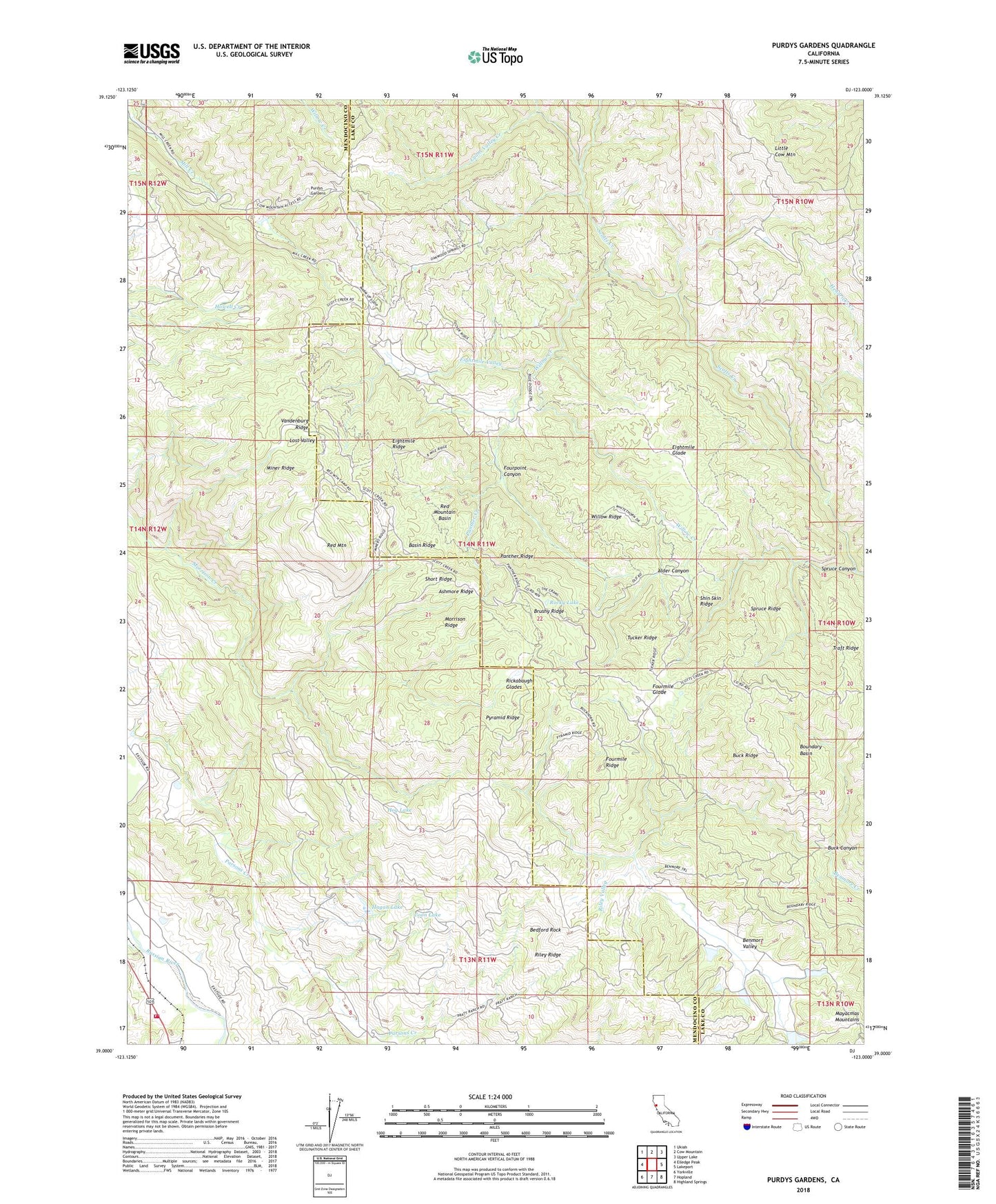
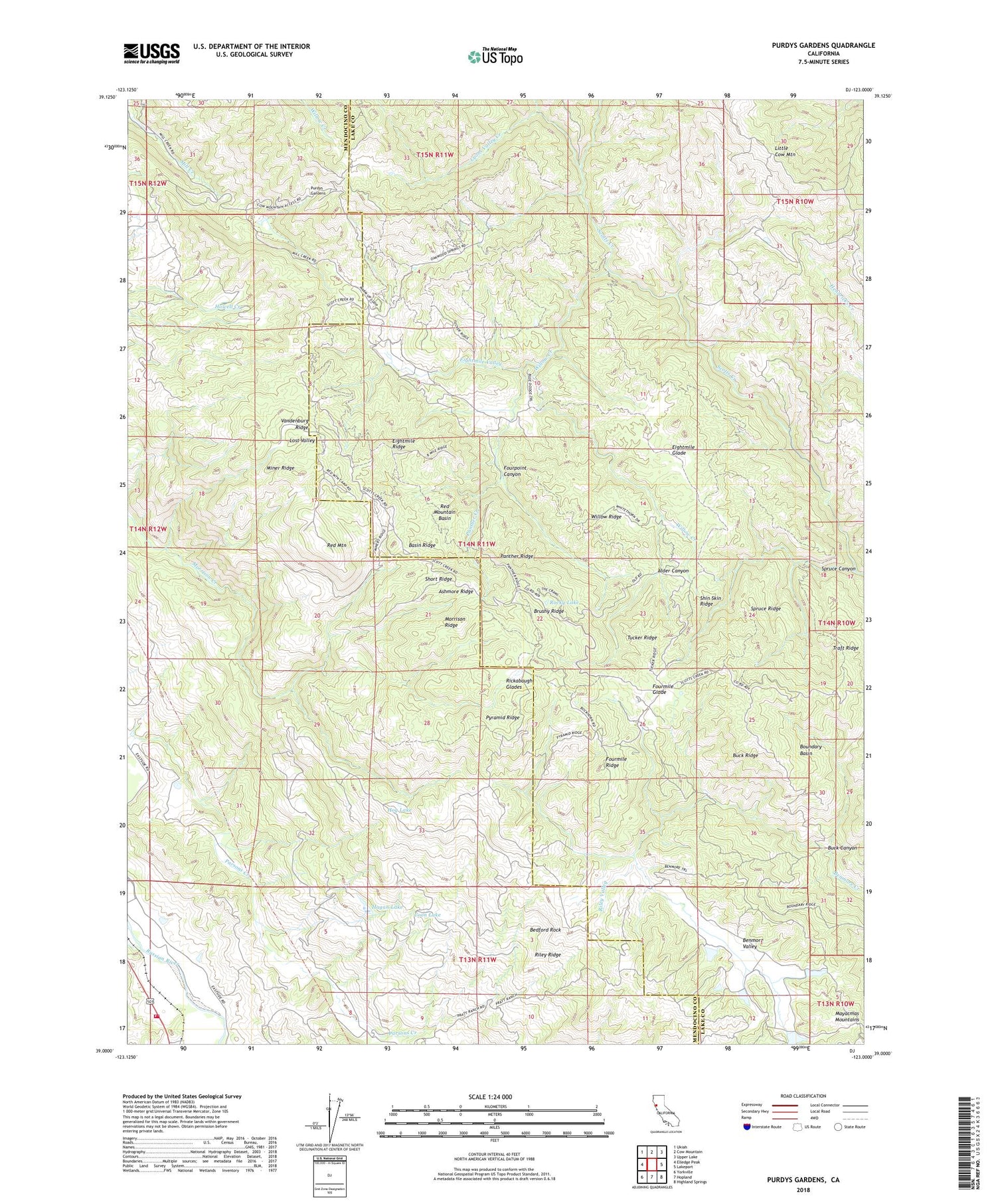
Purdys Gardens California US Topo Map
Couldn't load pickup availability
2021 topographic map quadrangle Purdys Gardens in the state of California. Scale: 1:24000. Based on the newly updated USGS 7.5' US Topo map series, this map is in the following counties: Mendocino, Lake. The map contains contour data, water features, and other items you are used to seeing on USGS maps, but also has updated roads and other features. This is the next generation of topographic maps. Printed on high-quality waterproof paper with UV fade-resistant inks.
Quads adjacent to this one:
West: Elledge Peak
Northwest: Ukiah
North: Cow Mountain
Northeast: Upper Lake
East: Lakeport
Southeast: Highland Springs
South: Hopland
Southwest: Yorkville
This map covers the same area as the classic USGS quad with code o39123a1.
Contains the following named places: Alder Canyon, Ashmore Ridge, Basin Ridge, Bedford Rock, Benmore Ridge Camp, Benmore Valley, Boundary Basin, Brushy Ridge, Buck Canyon, Buck Ridge, Bushy Camp, California Department of Forestry and Fire Protection Hopland, California Department of Forestry and Fire Protection Hopland Volunteer Fire District, Coon Lake, Dorst Ranch, Eaglepoint Ranch, Eightmile Glade, Eightmile Ridge, Eightmile Valley, Fountain of Youth Camp, Fourmile Glade, Fourmile Ridge, Fourpoint Canyon, Hagan Lake, Hog Lake, Hopland Field Station, Hopland Fire Station, James Cabin, Jerky Camp, Kelsey Cabin, Knobcone Camp, Lost Valley, Lyons Valley, Lyons Valley Creek, Miner Ridge, Morrison Ridge, Norris Ranch, Panther Creek, Panther Ridge, Peters 393 Dam, Poor Ranch, Pratt Ranch, Purdys Gardens, Pyramid Ridge, Red Mountain, Red Mountain Basin, Red Mountain Camp, Rickabaugh Glades, Riley Ridge, Riley Valley, Rocky Lake, Ruddick Ranch, Shin Skin Ridge, Short Ridge, Simms Camp, South Willow Creek Camp, Spruce Canyon, Spruce Ridge, Traft Ridge, Tucker Camp, Tucker Ridge, Ukiah Television Translator Station, Vandenburg Ridge, Willow Creek, Willow Ridge, Woods Camp


